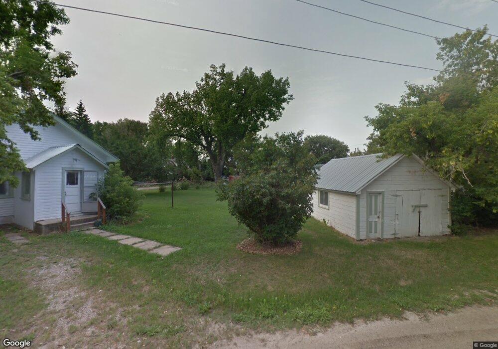
714 N Dawes St Lewistown, MT 59457
Estimated Value: $254,000 - $297,914
2
Beds
2
Baths
768
Sq Ft
$353/Sq Ft
Est. Value
About This Home
This home is located at 714 N Dawes St, Lewistown, MT 59457 and is currently estimated at $271,229, approximately $353 per square foot. 714 N Dawes St is a home located in Fergus County with nearby schools including Fergus High School.
Ownership History
Date
Name
Owned For
Owner Type
Purchase Details
Closed on
May 1, 2023
Sold by
Flock Ivan Mark
Bought by
Bell Shawn and Bell Teresa
Current Estimated Value
Home Financials for this Owner
Home Financials are based on the most recent Mortgage that was taken out on this home.
Original Mortgage
$221,000
Outstanding Balance
$215,086
Interest Rate
6.6%
Mortgage Type
New Conventional
Estimated Equity
$56,143
Purchase Details
Closed on
Mar 28, 2014
Sold by
Allen Susan L
Bought by
Flock Ivan Mark and Flock Sherry
Home Financials for this Owner
Home Financials are based on the most recent Mortgage that was taken out on this home.
Original Mortgage
$57,142
Interest Rate
4.19%
Mortgage Type
New Conventional
Create a Home Valuation Report for This Property
The Home Valuation Report is an in-depth analysis detailing your home's value as well as a comparison with similar homes in the area
Home Values in the Area
Average Home Value in this Area
Purchase History
| Date | Buyer | Sale Price | Title Company |
|---|---|---|---|
| Bell Shawn | -- | None Listed On Document | |
| Flock Ivan Mark | $71,427 | First American Title |
Source: Public Records
Mortgage History
| Date | Status | Borrower | Loan Amount |
|---|---|---|---|
| Open | Bell Shawn | $221,000 | |
| Previous Owner | Flock Ivan Mark | $57,142 | |
| Closed | Flock Ivan Mark | $57,142 |
Source: Public Records
Tax History Compared to Growth
Tax History
| Year | Tax Paid | Tax Assessment Tax Assessment Total Assessment is a certain percentage of the fair market value that is determined by local assessors to be the total taxable value of land and additions on the property. | Land | Improvement |
|---|---|---|---|---|
| 2025 | $2,832 | $307,382 | $0 | $0 |
| 2024 | $3,383 | $251,202 | $0 | $0 |
| 2023 | $3,144 | $226,702 | $0 | $0 |
| 2022 | $2,860 | $162,459 | $0 | $0 |
| 2021 | $1,877 | $162,459 | $0 | $0 |
| 2020 | $1,925 | $100,400 | $0 | $0 |
| 2019 | $1,917 | $100,400 | $0 | $0 |
| 2018 | $1,444 | $78,900 | $0 | $0 |
| 2017 | $890 | $78,900 | $0 | $0 |
| 2016 | $1,404 | $78,700 | $0 | $0 |
| 2015 | $701 | $63,100 | $0 | $0 |
| 2014 | $605 | $30,482 | $0 | $0 |
Source: Public Records
Map
Nearby Homes
- 514 2nd Ave N
- 316 W Corcoran St
- 313 W Idaho St
- 318 W Evelyn St
- 628 Mountain View Dr
- 632 Mountain View Dr
- 412 W Huron St
- 701 E Montana St
- 307 E Janeaux St
- 210 S High St
- 1014 Mountain View Dr
- 624 W Broadway St
- 115 7th Ave N
- TBD Truck Bypass
- 35 acres Truck Bypass
- NHN Truck Bypass
- 401 7th Ave S
- 105 Hillcrest Dr
- 506 Brassey St
- 1011 W Broadway St
- 122 E Corcoran St
- 118 E Corcoran St
- 623 1st Ave N
- 121 E Corcoran St
- 615 N Dawes St
- 115 E Corcoran St
- 802 N Dawes St
- 117 E Corcoran St
- 112 E Crowley Ave
- 803 N Dawes St
- 205 E Corcoran St
- 813 N Dawes St
- 117 Us Highway 191
- 607 N Dawes St
- 815 N Dawes St
- 15 Us Highway 191
- 505 N Dawes St
- 112 W Evelyn St
- 602 N High St
- 105 E Montana St