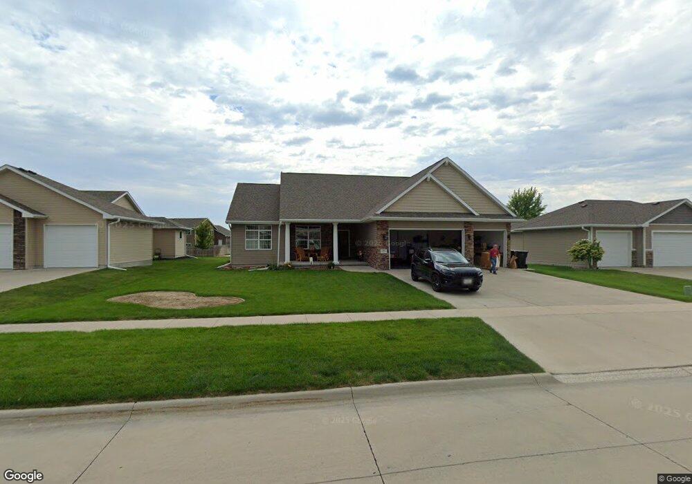
714 Stable Path Unit Path Sergeant Bluff, IA 51054
Estimated Value: $310,000 - $494,000
5
Beds
5
Baths
1,693
Sq Ft
$253/Sq Ft
Est. Value
About This Home
This home is located at 714 Stable Path Unit Path, Sergeant Bluff, IA 51054 and is currently estimated at $428,579, approximately $253 per square foot. 714 Stable Path Unit Path is a home located in Woodbury County with nearby schools including Sergeant Bluff-Luton Primary School, Sergeant Bluff-Luton Elementary School, and Sergeant Bluff-Luton Middle School.
Ownership History
Date
Name
Owned For
Owner Type
Purchase Details
Closed on
Sep 18, 2020
Sold by
Belcher Berry S and Belcher Kari Lynn
Bought by
Trout Lloyd C and Trout Karen B
Current Estimated Value
Purchase Details
Closed on
Jun 25, 2013
Sold by
H & R Construction Co
Bought by
Belcher Berry S and Belcher Kari Lynn
Home Financials for this Owner
Home Financials are based on the most recent Mortgage that was taken out on this home.
Original Mortgage
$299,250
Interest Rate
3.52%
Mortgage Type
New Conventional
Create a Home Valuation Report for This Property
The Home Valuation Report is an in-depth analysis detailing your home's value as well as a comparison with similar homes in the area
Home Values in the Area
Average Home Value in this Area
Purchase History
| Date | Buyer | Sale Price | Title Company |
|---|---|---|---|
| Trout Lloyd C | $350,000 | None Available | |
| Belcher Berry S | $335,466 | None Available |
Source: Public Records
Mortgage History
| Date | Status | Borrower | Loan Amount |
|---|---|---|---|
| Previous Owner | Belcher Berry S | $299,250 |
Source: Public Records
Tax History
| Year | Tax Paid | Tax Assessment Tax Assessment Total Assessment is a certain percentage of the fair market value that is determined by local assessors to be the total taxable value of land and additions on the property. | Land | Improvement |
|---|---|---|---|---|
| 2025 | $5,842 | $424,350 | $44,200 | $380,150 |
| 2024 | $57 | $397,380 | $35,860 | $361,520 |
| 2023 | $6,590 | $397,380 | $35,860 | $361,520 |
| 2022 | $6,534 | $375,090 | $35,860 | $339,230 |
| 2021 | $6,534 | $375,090 | $35,860 | $339,230 |
| 2020 | $5,554 | $312,710 | $38,370 | $274,340 |
| 2019 | $5,396 | $312,710 | $38,370 | $274,340 |
| 2018 | $5,268 | $299,640 | $38,370 | $261,270 |
| 2017 | $1,522 | $299,640 | $38,370 | $261,270 |
| 2016 | $1,552 | $79,880 | $0 | $0 |
| 2015 | $716 | $60,280 | $35,860 | $24,420 |
| 2014 | $541 | $35,860 | $35,860 | $0 |
Source: Public Records
Map
Nearby Homes
- 714 Stable Path
- 716 Stable Path
- 710 Stable Path
- 820 Cottonwood Trail
- 718 Stable Path
- 818 Cottonwood Trail
- 715 Stable Path
- 715 Stable Path
- 717 Stable Path
- 822 Cottonwood Trail
- 816 Cottonwood Trail
- 719 Stable Path
- 713 Stable Path
- 708 Stable Path
- 720 Stable Path
- 721 Stable Path
- 824 Cottonwood Trail
- 711 Stable Path
- 814 Cottonwood Trail
- 723 Stable Path
Your Personal Tour Guide
Ask me questions while you tour the home.