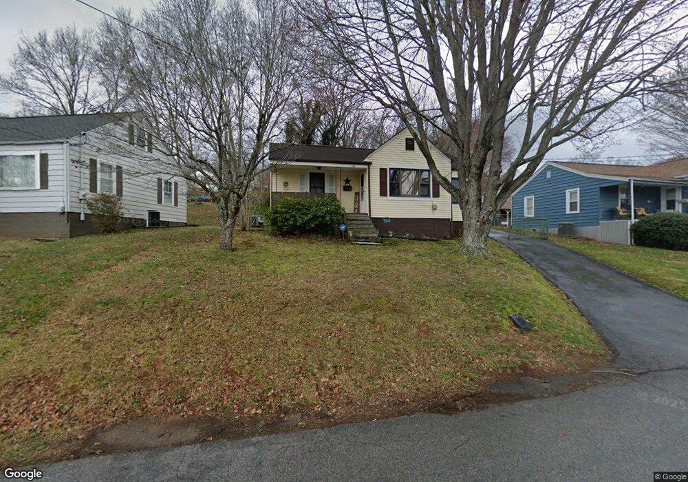
714 Union Hill St Kingsport, TN 37660
Estimated Value: $111,054 - $175,000
--
Bed
1
Bath
929
Sq Ft
$154/Sq Ft
Est. Value
About This Home
This home is located at 714 Union Hill St, Kingsport, TN 37660 and is currently estimated at $142,764, approximately $153 per square foot. 714 Union Hill St is a home located in Sullivan County with nearby schools including George Washington Elementary School, John Sevier Middle School, and Ross N. Robinson Middle School.
Ownership History
Date
Name
Owned For
Owner Type
Purchase Details
Closed on
Jun 3, 2019
Sold by
Holmes James W
Bought by
Quinn Thomas O
Current Estimated Value
Purchase Details
Closed on
Apr 2, 2019
Sold by
Carson Ben
Bought by
Widner Windell Levi and Widner Melisa Rena
Home Financials for this Owner
Home Financials are based on the most recent Mortgage that was taken out on this home.
Original Mortgage
$55,575
Interest Rate
4.3%
Mortgage Type
New Conventional
Create a Home Valuation Report for This Property
The Home Valuation Report is an in-depth analysis detailing your home's value as well as a comparison with similar homes in the area
Home Values in the Area
Average Home Value in this Area
Purchase History
| Date | Buyer | Sale Price | Title Company |
|---|---|---|---|
| Quinn Thomas O | -- | None Available | |
| Widner Windell Levi | $58,500 | Heritage Ttl & Closing Svcs |
Source: Public Records
Mortgage History
| Date | Status | Borrower | Loan Amount |
|---|---|---|---|
| Previous Owner | Widner Windell Levi | $55,575 |
Source: Public Records
Tax History Compared to Growth
Tax History
| Year | Tax Paid | Tax Assessment Tax Assessment Total Assessment is a certain percentage of the fair market value that is determined by local assessors to be the total taxable value of land and additions on the property. | Land | Improvement |
|---|---|---|---|---|
| 2024 | -- | $16,600 | $1,700 | $14,900 |
| 2023 | $731 | $16,600 | $1,700 | $14,900 |
| 2022 | $731 | $16,600 | $1,700 | $14,900 |
| 2021 | $711 | $16,600 | $1,700 | $14,900 |
| 2020 | $409 | $16,600 | $1,700 | $14,900 |
| 2019 | $738 | $15,925 | $1,700 | $14,225 |
| 2018 | $721 | $15,925 | $1,700 | $14,225 |
| 2017 | $721 | $15,925 | $1,700 | $14,225 |
| 2016 | $728 | $15,675 | $1,700 | $13,975 |
| 2014 | $686 | $15,669 | $0 | $0 |
Source: Public Records
Map
Nearby Homes
- 2001 Sand St
- 1950 W Stone Dr
- 1461 Gress Mag Mountain
- 1244 Stamp Lodge Rd
- 1237 Stamp Lodge Rd
- 1249 Stamp Lodge Rd
- 241 Bent St
- 0 Stonegate Rd
- 2029 Louita Ave
- 2046 Lowell Dr
- 606 Hollis St
- 1104 Tay Station
- 1413 Gress Mag Mountain
- 1133 Tay Station
- 1109 Tay Station
- 2137 Hiara Dr
- 1320 Mimosa Dr
- 0 Granby Rd Unit 9960138
- 1620 Lake St
- 1824&1828 Netherland Inn Rd
- 710 Union Hill St
- 718 Union Hill St
- 704 Union Hill St
- 1909 Holly St
- 1912 Oakland St
- 717 Union Hill St
- 721 Union Hill St
- 713 Union Hill St
- 702 Union Hill St
- 1916 Oakland St
- 1900 Holly St
- 805 Union Hill St
- 709 Union Hill St
- 1904 Holly St
- 1920 Oakland St
- 1917 Holly St
- 1908 Holly St
- 705 Union Hill St
- 1924 Oakland St
- 1921 Holly St