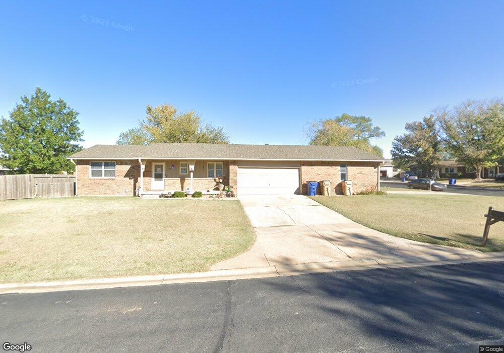
714 W 3rd St Andover, KS 67002
Estimated Value: $272,115 - $436,000
4
Beds
2
Baths
1,872
Sq Ft
$179/Sq Ft
Est. Value
About This Home
This home is located at 714 W 3rd St, Andover, KS 67002 and is currently estimated at $335,279, approximately $179 per square foot. 714 W 3rd St is a home located in Butler County with nearby schools including Cottonwood Elementary School, Andover Middle School, and Andover High School.
Ownership History
Date
Name
Owned For
Owner Type
Purchase Details
Closed on
May 16, 2018
Sold by
Kerr Cynthia D and Kerr Cynthia
Bought by
Cynthia Kerr Living Trust
Current Estimated Value
Purchase Details
Closed on
Nov 12, 2008
Sold by
Kerr Duwayne and Kerr Cynthia
Bought by
Cynthia Kerr Living Trust
Purchase Details
Closed on
Nov 7, 2008
Sold by
Kerr Cynthia and The Cynthia Kerr Living Trust
Bought by
Kerr Duwayne and Kerr Cynthia
Purchase Details
Closed on
Nov 5, 2008
Sold by
Kerr Duwayne and Kerr Cynthia
Bought by
Cynthia Kerr Living Trust
Create a Home Valuation Report for This Property
The Home Valuation Report is an in-depth analysis detailing your home's value as well as a comparison with similar homes in the area
Home Values in the Area
Average Home Value in this Area
Purchase History
| Date | Buyer | Sale Price | Title Company |
|---|---|---|---|
| Cynthia Kerr Living Trust | -- | None Available | |
| Cynthia Kerr Living Trust | -- | -- | |
| Kerr Duwayne | -- | -- | |
| Cynthia Kerr Living Trust | -- | -- | |
| Kerr Duwayne | -- | -- |
Source: Public Records
Tax History Compared to Growth
Tax History
| Year | Tax Paid | Tax Assessment Tax Assessment Total Assessment is a certain percentage of the fair market value that is determined by local assessors to be the total taxable value of land and additions on the property. | Land | Improvement |
|---|---|---|---|---|
| 2025 | $42 | $28,011 | $3,532 | $24,479 |
| 2024 | $42 | $28,188 | $2,456 | $25,732 |
| 2023 | $3,892 | $26,091 | $2,456 | $23,635 |
| 2022 | $3,873 | $22,492 | $2,456 | $20,036 |
| 2021 | $3,154 | $20,448 | $2,456 | $17,992 |
| 2020 | $3,216 | $19,934 | $2,456 | $17,478 |
| 2019 | $3,154 | $19,377 | $2,456 | $16,921 |
| 2018 | $3,027 | $18,687 | $2,456 | $16,231 |
| 2017 | $2,911 | $17,986 | $2,456 | $15,530 |
| 2014 | -- | $143,700 | $21,360 | $122,340 |
Source: Public Records
Map
Nearby Homes
- 318 Countryside Ct S
- 924 Maplewood Ct
- 606 N Lakeside Dr
- 305 Oakmont Ct
- 328 W 1st St
- 109 S Putter Dr
- 241 Koob Ln
- 118 Chapel Dr
- 114 S Lakeside Dr
- 220 S Onewood Dr
- 818 N Mccloud Cir
- 818 Mccloud Cir
- 844 N Speyside Cir
- 123 S Sunset Dr
- 131 S Sunset Dr
- 818 N McCloud Cir Unit#507
- 15839 E Sharon Ln
- 328 E Park Place
- 826 N Speyside Cir
- 601 Brentwood Place
- 728 W 3rd St
- 437 Countryside Ct N
- 439 Countryside Ct N
- 442 Sunnyslope Ct N
- 452 Sunnyslope Ct N
- 305 Countryside Ct S
- 446 Countryside Ct N
- 433 Countryside Ct N
- 304 Sunnyslope Ct S
- 628 W 3rd St
- 434 Sunnyslope Ct N
- 438 Countryside Ct N
- 304 Countryside Ct S
- 311 Countryside Ct S
- 436 Countryside Ct N
- 711 Autumn Ridge Ct
- 310 Sunnyslope Ct S
- 709 Autumn Ridge Ct
- 445 Sunnyslope Ct N
- 453 Sunnyslope Ct N