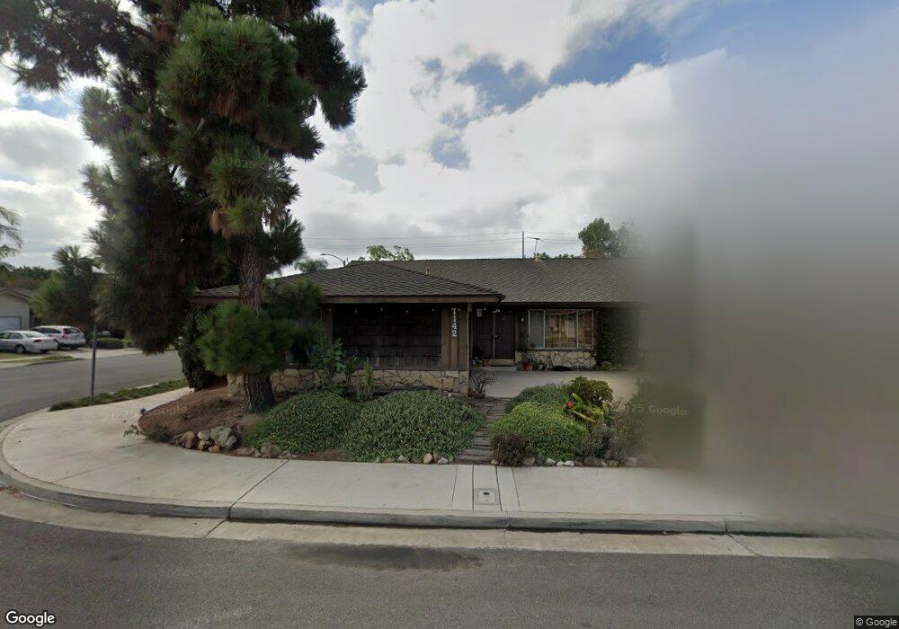
7142 Nimrod Dr Huntington Beach, CA 92647
Estimated Value: $1,346,221 - $1,481,000
4
Beds
2
Baths
1,977
Sq Ft
$722/Sq Ft
Est. Value
About This Home
This home is located at 7142 Nimrod Dr, Huntington Beach, CA 92647 and is currently estimated at $1,426,805, approximately $721 per square foot. 7142 Nimrod Dr is a home located in Orange County with nearby schools including Golden View Elementary School - Environmental Science School, Mesa View Middle School, and Ocean View High.
Ownership History
Date
Name
Owned For
Owner Type
Purchase Details
Closed on
Nov 14, 2002
Sold by
Moore Gayle R
Bought by
Moore Franklin E and Moore Gayle R
Current Estimated Value
Home Financials for this Owner
Home Financials are based on the most recent Mortgage that was taken out on this home.
Original Mortgage
$240,000
Interest Rate
5.89%
Create a Home Valuation Report for This Property
The Home Valuation Report is an in-depth analysis detailing your home's value as well as a comparison with similar homes in the area
Home Values in the Area
Average Home Value in this Area
Purchase History
| Date | Buyer | Sale Price | Title Company |
|---|---|---|---|
| Moore Franklin E | -- | Fidelity National Title Ins | |
| Moore Gayle R | -- | Fidelity National Title Ins |
Source: Public Records
Mortgage History
| Date | Status | Borrower | Loan Amount |
|---|---|---|---|
| Closed | Moore Gayle R | $240,000 |
Source: Public Records
Tax History Compared to Growth
Tax History
| Year | Tax Paid | Tax Assessment Tax Assessment Total Assessment is a certain percentage of the fair market value that is determined by local assessors to be the total taxable value of land and additions on the property. | Land | Improvement |
|---|---|---|---|---|
| 2025 | $3,941 | $337,693 | $161,731 | $175,962 |
| 2024 | $3,941 | $331,072 | $158,560 | $172,512 |
| 2023 | $3,848 | $324,581 | $155,451 | $169,130 |
| 2022 | $3,788 | $318,217 | $152,403 | $165,814 |
| 2021 | $3,718 | $311,978 | $149,415 | $162,563 |
| 2020 | $3,676 | $308,780 | $147,883 | $160,897 |
| 2019 | $3,614 | $302,726 | $144,983 | $157,743 |
| 2018 | $3,533 | $296,791 | $142,141 | $154,650 |
| 2017 | $3,476 | $290,972 | $139,354 | $151,618 |
| 2016 | $3,337 | $285,267 | $136,621 | $148,646 |
| 2015 | $3,285 | $280,983 | $134,569 | $146,414 |
| 2014 | $3,219 | $275,479 | $131,933 | $143,546 |
Source: Public Records
Map
Nearby Homes
- 17261 Gothard St Unit 50
- 17261 Gothard St Unit 67
- 17261 Gothard St Unit 63
- 17261 Gothard St Unit 64
- 6852 Jardines Dr
- 17441 Dairyview Cir
- 17412 Dairyview Cir Unit D
- 17372 Dairyview Cir
- 17431 Koledo Ln
- 6672 Sun Dr Unit B
- 16892 Limelight Cir Unit B
- 6600 Warner Ave Unit 119
- 6600 Warner Ave Unit 50
- 6600 Warner Ave
- 6600 Warner Ave Unit 144
- 6600 Warner Ave Unit 142
- 7792 Liberty Dr
- 7942 Speer Dr
- 7850 Slater Ave Unit 31
- 7850 Slater Ave Unit 38
- 7132 Nimrod Dr
- 7141 Slater Ave
- 7131 Slater Ave
- 7122 Nimrod Dr
- 17452 Lucero Ln
- 17462 Lucero Ln
- 7121 Slater Ave
- 7141 Nimrod Dr
- 7151 Nimrod Dr
- 17472 Lucero Ln
- 7131 Nimrod Dr
- 17442 Lucero Ln
- 7102 Nimrod Dr
- 7101 Slater Ave
- 7161 Nimrod Dr
- 7121 Nimrod Dr
- 17492 Lucero Ln
- 7132 Ford Dr
- 7101 Nimrod Dr
- 7142 Ford Dr