7147 Ramsgate Rd Charlotte, NC 28270
Lansdowne NeighborhoodEstimated Value: $703,000 - $801,000
3
Beds
2
Baths
1,710
Sq Ft
$434/Sq Ft
Est. Value
About This Home
This home is located at 7147 Ramsgate Rd, Charlotte, NC 28270 and is currently estimated at $742,887, approximately $434 per square foot. 7147 Ramsgate Rd is a home located in Mecklenburg County with nearby schools including Lansdowne Elementary, McClintock Middle School, and East Mecklenburg High.
Ownership History
Date
Name
Owned For
Owner Type
Purchase Details
Closed on
Apr 29, 2008
Sold by
Moss Beverly Smith
Bought by
Nofziger Shane
Current Estimated Value
Home Financials for this Owner
Home Financials are based on the most recent Mortgage that was taken out on this home.
Original Mortgage
$226,400
Outstanding Balance
$143,078
Interest Rate
5.84%
Mortgage Type
Unknown
Estimated Equity
$599,809
Purchase Details
Closed on
Mar 16, 2007
Sold by
Moss Beverly S
Bought by
Moss Beverly Smith and Beverly Smith Revocable Trust
Create a Home Valuation Report for This Property
The Home Valuation Report is an in-depth analysis detailing your home's value as well as a comparison with similar homes in the area
Home Values in the Area
Average Home Value in this Area
Purchase History
| Date | Buyer | Sale Price | Title Company |
|---|---|---|---|
| Nofziger Shane | $283,000 | Meridian Title | |
| Moss Beverly Smith | -- | None Available |
Source: Public Records
Mortgage History
| Date | Status | Borrower | Loan Amount |
|---|---|---|---|
| Open | Nofziger Shane | $226,400 |
Source: Public Records
Tax History
| Year | Tax Paid | Tax Assessment Tax Assessment Total Assessment is a certain percentage of the fair market value that is determined by local assessors to be the total taxable value of land and additions on the property. | Land | Improvement |
|---|---|---|---|---|
| 2025 | -- | $622,200 | $325,000 | $297,200 |
| 2024 | -- | $622,200 | $325,000 | $297,200 |
| 2023 | $4,703 | $622,200 | $325,000 | $297,200 |
| 2022 | $2,857 | $296,100 | $100,000 | $196,100 |
| 2021 | $2,972 | $296,100 | $100,000 | $196,100 |
| 2020 | $2,739 | $272,700 | $100,000 | $172,700 |
| 2019 | $2,723 | $272,700 | $100,000 | $172,700 |
| 2018 | $3,784 | $282,800 | $128,100 | $154,700 |
| 2017 | $3,724 | $282,800 | $128,100 | $154,700 |
| 2016 | $3,714 | $282,800 | $128,100 | $154,700 |
| 2015 | $3,703 | $282,800 | $128,100 | $154,700 |
| 2014 | $3,694 | $282,800 | $128,100 | $154,700 |
Source: Public Records
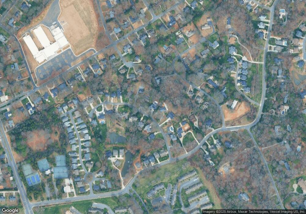
Map
Nearby Homes
- 901 Lansdowne Rd
- 5010 Ohm Ln
- 5014 Ohm Ln
- 701 Wingrave Dr
- 7501 Folger Dr
- 1200 Blueberry Ln
- 144 Sardis Ln
- 132 Sardis Ln
- 544 Wingrave Dr
- 409 Audrey Place Unit 1
- 405 Audrey Place Unit 2
- 317 Audrey Place Unit 4
- 401 Audrey Place Unit 3
- 309 Audrey Place Unit 6
- 150 Lutomma Cir
- 305 Audrey Place Unit 7
- 7429 Newmans Ln
- 301 Audrey Place Unit 8
- 316 Audrey Place
- 119 Thorncote Place
- 7139 Ramsgate Rd
- 7201 Ramsgate Rd
- 7131 Ramsgate Rd
- 7142 Carosan Ln
- 7209 Ramsgate Rd
- 7140 Ramsgate Rd
- 7123 Ramsgate Rd
- 7148 Ramsgate Rd
- 7200 Ramsgate Rd
- 7212 Ramsgate Rd
- 6512 Prett Ct
- 7116 Ramsgate Rd
- 6510 Prett Ct
- 6509 Prett Ct
- 7200 Carosan Ln
- 730 Sardis Ln
- 7119 Ramsgate Rd
- 7119 Ramsgate Rd Unit 2c
- 716 Sardis Ln
- 7210 Carosan Ln