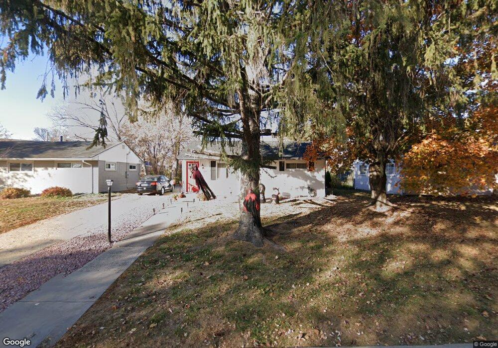
715 22nd Ave N South Saint Paul, MN 55075
Estimated Value: $300,000 - $319,000
4
Beds
2
Baths
786
Sq Ft
$393/Sq Ft
Est. Value
About This Home
This home is located at 715 22nd Ave N, South Saint Paul, MN 55075 and is currently estimated at $309,061, approximately $393 per square foot. 715 22nd Ave N is a home located in Dakota County with nearby schools including Lincoln Center Elementary, South St. Paul Secondary, and Academic Arts High School.
Ownership History
Date
Name
Owned For
Owner Type
Purchase Details
Closed on
May 26, 2017
Sold by
Esso Properties Llc
Bought by
Rodriguez Ricardo and Sunsin Claudia A
Current Estimated Value
Home Financials for this Owner
Home Financials are based on the most recent Mortgage that was taken out on this home.
Original Mortgage
$211,105
Outstanding Balance
$175,354
Interest Rate
3.97%
Mortgage Type
FHA
Estimated Equity
$133,707
Create a Home Valuation Report for This Property
The Home Valuation Report is an in-depth analysis detailing your home's value as well as a comparison with similar homes in the area
Home Values in the Area
Average Home Value in this Area
Purchase History
| Date | Buyer | Sale Price | Title Company |
|---|---|---|---|
| Rodriguez Ricardo | $215,000 | Entitle Inc |
Source: Public Records
Mortgage History
| Date | Status | Borrower | Loan Amount |
|---|---|---|---|
| Open | Rodriguez Ricardo | $211,105 |
Source: Public Records
Tax History Compared to Growth
Tax History
| Year | Tax Paid | Tax Assessment Tax Assessment Total Assessment is a certain percentage of the fair market value that is determined by local assessors to be the total taxable value of land and additions on the property. | Land | Improvement |
|---|---|---|---|---|
| 2024 | $3,558 | $273,800 | $80,900 | $192,900 |
| 2023 | $3,558 | $265,000 | $81,400 | $183,600 |
| 2022 | $2,916 | $258,500 | $81,300 | $177,200 |
| 2021 | $2,710 | $224,300 | $70,700 | $153,600 |
| 2020 | $2,652 | $206,800 | $67,400 | $139,400 |
| 2019 | $2,634 | $207,500 | $64,200 | $143,300 |
| 2018 | $2,393 | $181,600 | $58,300 | $123,300 |
| 2017 | $2,291 | $158,100 | $55,600 | $102,500 |
| 2016 | $2,109 | $142,300 | $50,500 | $91,800 |
| 2015 | $1,912 | $113,725 | $39,496 | $74,229 |
| 2014 | -- | $112,962 | $39,430 | $73,532 |
| 2013 | -- | $93,887 | $33,013 | $60,874 |
Source: Public Records
Map
Nearby Homes
- 601 Levander Way Unit 101
- 601 Levander Way Unit 208
- 1365 Christensen Ave
- 2205 Acorn Ln
- 921 17th Ave N
- 1439 Oakdale Ave
- 362 Trenton Ln
- 1518 Traverse Ln
- 364 Trenton Ln
- 1523 Traverse Ln
- 360 Trenton Ln
- 366 Trenton Ln
- Capri Plan at Thompson Square East
- Barcelona Plan at Thompson Square East
- Athens Plan at Thompson Square East
- Athens II Plan at Thompson Square East
- Bayfield Plan at Thompson Square East
- Hayward Plan at Thompson Square East
- 1541 Traverse Ln
- 358 Trenton Ln
- 721 721 22nd-Avenue-n
- 721 22nd Ave N
- 709 22nd Ave N
- 714 714 22nd-Avenue-n
- 703 22nd Ave N
- 727 22nd Ave N
- 714 23rd Ave N
- 708 23rd Ave N
- 720 23rd Ave N
- 708 708 23rd Ave N
- 702 23rd Ave N
- 733 22nd Ave N
- 726 23rd Ave N
- 708 22nd Ave N
- 714 22nd Ave N
- 720 22nd Ave N
- 708 22nd Ave N
- 720 720 22nd-Avenue-n
- 720 720 22nd Ave N
- 732 23rd Ave N