715 Brownwood Dr Richlands, NC 28574
Estimated Value: $50,442 - $284,000
--
Bed
--
Bath
--
Sq Ft
3.05
Acres
About This Home
This home is located at 715 Brownwood Dr, Richlands, NC 28574 and is currently estimated at $211,111. 715 Brownwood Dr is a home with nearby schools including Stateside Elementary School, Trexler Middle School, and Southwest High School.
Ownership History
Date
Name
Owned For
Owner Type
Purchase Details
Closed on
Nov 17, 2020
Sold by
Stevens Randy Lee
Bought by
Industrial Homes Inc
Current Estimated Value
Purchase Details
Closed on
Nov 12, 2020
Sold by
Stevens Candice Mae
Bought by
Industrial Hoems Inc
Purchase Details
Closed on
Oct 31, 2017
Sold by
Edwards William Harvey and Edwards Katherine L
Bought by
Stevenes Randyh Lee and Stevenes Candice Mae
Purchase Details
Closed on
Jul 20, 1984
Bought by
Edwards William H and Edwards Katherine
Create a Home Valuation Report for This Property
The Home Valuation Report is an in-depth analysis detailing your home's value as well as a comparison with similar homes in the area
Home Values in the Area
Average Home Value in this Area
Purchase History
| Date | Buyer | Sale Price | Title Company |
|---|---|---|---|
| Industrial Homes Inc | -- | None Available | |
| Industrial Homes Inc | -- | None Listed On Document | |
| Industrial Homes Inc | $28,000 | None Listed On Document | |
| Industrial Hoems Inc | $28,000 | None Available | |
| Stevenes Randyh Lee | $28,000 | None Available | |
| Edwards William H | $5,500 | -- |
Source: Public Records
Tax History Compared to Growth
Tax History
| Year | Tax Paid | Tax Assessment Tax Assessment Total Assessment is a certain percentage of the fair market value that is determined by local assessors to be the total taxable value of land and additions on the property. | Land | Improvement |
|---|---|---|---|---|
| 2025 | $157 | $25,440 | $23,650 | $1,790 |
| 2024 | $157 | $24,007 | $23,650 | $357 |
| 2023 | $157 | $24,007 | $23,650 | $357 |
| 2022 | $157 | $24,007 | $23,650 | $357 |
| 2021 | $203 | $28,860 | $28,150 | $710 |
| 2020 | $208 | $29,510 | $28,150 | $1,360 |
| 2019 | $208 | $29,510 | $28,150 | $1,360 |
| 2018 | $208 | $29,510 | $28,150 | $1,360 |
| 2017 | $199 | $29,510 | $28,150 | $1,360 |
| 2016 | $199 | $29,510 | $0 | $0 |
| 2015 | $199 | $29,510 | $0 | $0 |
| 2014 | $199 | $29,510 | $0 | $0 |
Source: Public Records
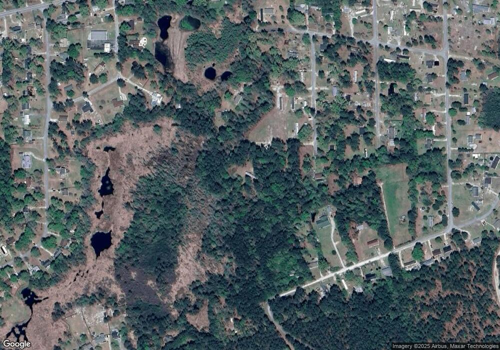
Map
Nearby Homes
- 1955 Catherine Lake Rd
- 233 Pineview Rd
- 260 Rowland Dr
- 250 Rowland Dr
- 503 Hester Ct
- 224 Rowland Dr
- 712 Addor Dr
- 248 Fire Tower Rd
- 106 Orchard Dr
- 227 Bannermans Mill Rd
- 252 Newbold Rd
- 105 Linden Rd
- 118 Lindsey James Ln
- 122 Live Oak Dr
- 145 Mcgowan
- 1.7ac Mcgowan Rd
- 202 Wagon Ct
- 109 Floyd Pond Ln
- 105 Farmgate Dr
- 107 Farmgate Dr
- 714 Brownwood Dr
- 710 Brownwood Dr
- 533 Greenwood Dr
- 704 Brownwood Dr
- 624 Circle Dr
- 609 Circle Dr
- 605 Circle Dr
- 529 Greenwood Rd
- 525 Greenwood Rd
- 516 Greenwood Dr
- 529 Greenwood Dr
- 521 Greenwood Rd
- 517 Greenwood Rd
- 606 Circle Dr
- 508 Greenwood Rd
- 604 Circle Dr
- 874 Quail Ln
- 338 Ridgewood Dr
- 864 Quail Ln
- 513 Greenwood Dr