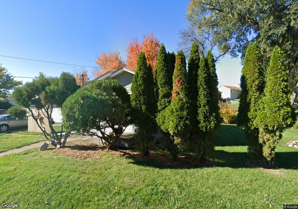
715 Burton St Sioux City, IA 51103
West Side Sioux City NeighborhoodEstimated Value: $151,256 - $194,000
2
Beds
1
Bath
1,026
Sq Ft
$169/Sq Ft
Est. Value
About This Home
This home is located at 715 Burton St, Sioux City, IA 51103 and is currently estimated at $173,564, approximately $169 per square foot. 715 Burton St is a home located in Woodbury County with nearby schools including Loess Hills Elementary School, West Middle School, and West High School.
Ownership History
Date
Name
Owned For
Owner Type
Purchase Details
Closed on
Feb 24, 2006
Sold by
Deutsche Bank National Trust Co
Bought by
Glover Larry D
Current Estimated Value
Home Financials for this Owner
Home Financials are based on the most recent Mortgage that was taken out on this home.
Original Mortgage
$49,500
Outstanding Balance
$27,867
Interest Rate
6.2%
Mortgage Type
New Conventional
Estimated Equity
$145,697
Create a Home Valuation Report for This Property
The Home Valuation Report is an in-depth analysis detailing your home's value as well as a comparison with similar homes in the area
Home Values in the Area
Average Home Value in this Area
Purchase History
| Date | Buyer | Sale Price | Title Company |
|---|---|---|---|
| Glover Larry D | $49,500 | -- |
Source: Public Records
Mortgage History
| Date | Status | Borrower | Loan Amount |
|---|---|---|---|
| Open | Glover Larry D | $49,500 |
Source: Public Records
Tax History Compared to Growth
Tax History
| Year | Tax Paid | Tax Assessment Tax Assessment Total Assessment is a certain percentage of the fair market value that is determined by local assessors to be the total taxable value of land and additions on the property. | Land | Improvement |
|---|---|---|---|---|
| 2025 | $2,028 | $166,800 | $32,800 | $134,000 |
| 2024 | $2,028 | $127,200 | $22,700 | $104,500 |
| 2023 | $2,318 | $127,200 | $22,700 | $104,500 |
| 2022 | $2,276 | $124,400 | $20,800 | $103,600 |
| 2021 | $2,276 | $124,400 | $20,800 | $103,600 |
| 2020 | $1,886 | $101,300 | $17,300 | $84,000 |
| 2019 | $2,078 | $100,500 | $0 | $0 |
| 2018 | $1,826 | $90,600 | $0 | $0 |
| 2017 | $1,634 | $80,500 | $0 | $0 |
| 2016 | $1,610 | $80,500 | $0 | $0 |
| 2015 | $1,766 | $90,400 | $20,600 | $69,800 |
| 2014 | $1,774 | $87,500 | $22,900 | $64,600 |
Source: Public Records
Map
Nearby Homes
- 1440 Burton St
- 519 Ascot St
- 514 Ascot St
- 4266 Fieldcrest Dr
- 612 Lancaster Cir
- 4210 Fieldcrest Dr
- 2917 W 5th St
- 612 Colon St
- 2824 W 14th St
- 3827 Forest View Ave
- 2120 S Jermyn St
- 2802 W 5th St
- 2411 Villa Ave
- 2543 W 20th St
- 218 S Davidson St
- 411 Judd St
- 2301 W 23rd St
- 204 S Leonard St
- 208 S Leonard St
- 324 S Casselman St
- 728 Burton St
- 712 Burton St
- 701 Burton St
- 710 Burton St
- 1401 Burton St
- 1400 Burton St
- 4347 N Fieldcrest Dr
- 4341 N Fieldcrest Dr
- 4352 N Fieldcrest Dr
- 648 Ascot St
- 3510 W 14th St
- 1415 Burton St
- 1414 Burton St
- 4340 N Fieldcrest Dr
- 640 Ascot St
- 637 Ascot St
- 3511 W 7th St
- 3512 W 7th St
- 3507 W 7th St
- 1410 Burton St