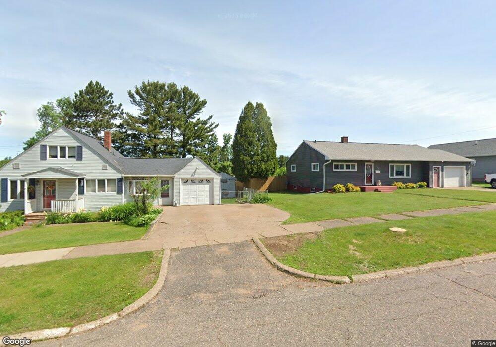
715 Duncan Ave Ishpeming, MI 49849
Estimated Value: $217,000 - $248,000
2
Beds
1
Bath
1,210
Sq Ft
$193/Sq Ft
Est. Value
About This Home
This home is located at 715 Duncan Ave, Ishpeming, MI 49849 and is currently estimated at $233,355, approximately $192 per square foot. 715 Duncan Ave is a home located in Marquette County with nearby schools including Birchview School, Ishpeming Middle School, and Ishpeming High School.
Ownership History
Date
Name
Owned For
Owner Type
Purchase Details
Closed on
Jan 15, 2018
Sold by
Lepage Justin J and Lepage Jennifer L
Bought by
Anderson Reid and Kilgren Hannah
Current Estimated Value
Home Financials for this Owner
Home Financials are based on the most recent Mortgage that was taken out on this home.
Original Mortgage
$123,405
Outstanding Balance
$103,052
Interest Rate
3.9%
Mortgage Type
New Conventional
Estimated Equity
$130,303
Purchase Details
Closed on
Nov 2, 2008
Bought by
Lepage Justin and Jennifer Perry
Create a Home Valuation Report for This Property
The Home Valuation Report is an in-depth analysis detailing your home's value as well as a comparison with similar homes in the area
Home Values in the Area
Average Home Value in this Area
Purchase History
| Date | Buyer | Sale Price | Title Company |
|---|---|---|---|
| Anderson Reid | $129,900 | Superior Title | |
| Lepage Justin | $72,500 | -- |
Source: Public Records
Mortgage History
| Date | Status | Borrower | Loan Amount |
|---|---|---|---|
| Open | Anderson Reid | $123,405 |
Source: Public Records
Tax History
| Year | Tax Paid | Tax Assessment Tax Assessment Total Assessment is a certain percentage of the fair market value that is determined by local assessors to be the total taxable value of land and additions on the property. | Land | Improvement |
|---|---|---|---|---|
| 2025 | $1,678 | $95,250 | $0 | $0 |
| 2024 | $16 | $82,150 | $0 | $0 |
| 2023 | $667 | $78,000 | $0 | $0 |
| 2022 | $2,900 | $62,600 | $0 | $0 |
| 2021 | $2,839 | $61,500 | $0 | $0 |
| 2020 | $2,829 | $62,600 | $0 | $0 |
| 2019 | $2,783 | $60,600 | $0 | $0 |
| 2018 | $2,133 | $57,450 | $0 | $0 |
| 2017 | $1,941 | $46,850 | $0 | $0 |
| 2016 | $1,877 | $45,600 | $0 | $0 |
| 2015 | -- | $45,600 | $0 | $0 |
| 2014 | -- | $40,850 | $0 | $0 |
| 2012 | -- | $39,800 | $0 | $0 |
Source: Public Records
Map
Nearby Homes
- 684 Mather Ave
- 645 Palms Ave
- TBD Us Highway 41
- 2115 Deer Lake Ave
- 208 Shoreline Dr
- 408 E Empire St
- 635 N 5th St
- 818 N Pine St
- 704 N Main St
- 113 N 2nd St
- 401 Cleveland Ave
- 312 W Ridge St
- 315 S 1st St
- 114 E Superior St
- 349 Us Highway 41
- 242 Hill St
- 260 Water St
- 000000 Us Highway 41
- 604 County Rd
- 754 Cooper Lake Rd
Your Personal Tour Guide
Ask me questions while you tour the home.