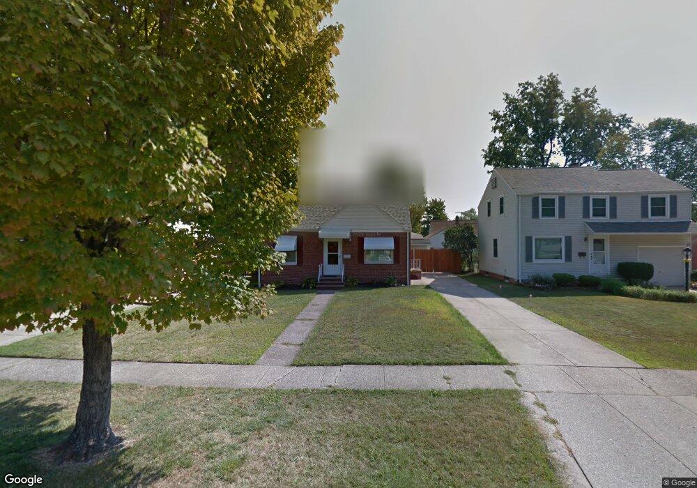
715 E 254th St Euclid, OH 44132
Estimated Value: $124,020 - $146,000
3
Beds
1
Bath
1,170
Sq Ft
$117/Sq Ft
Est. Value
About This Home
This home is located at 715 E 254th St, Euclid, OH 44132 and is currently estimated at $137,255, approximately $117 per square foot. 715 E 254th St is a home located in Cuyahoga County with nearby schools including Shoreview Elementary School, Euclid High School, and Ss Robert & William Catholic School.
Ownership History
Date
Name
Owned For
Owner Type
Purchase Details
Closed on
Mar 17, 1998
Sold by
Mesko John A
Bought by
Brown Paula D
Current Estimated Value
Home Financials for this Owner
Home Financials are based on the most recent Mortgage that was taken out on this home.
Original Mortgage
$77,000
Interest Rate
6.8%
Purchase Details
Closed on
Dec 18, 1989
Sold by
Mesko John A and Mesko Karen L
Bought by
Mesko John A
Purchase Details
Closed on
Sep 18, 1986
Sold by
Prestigomo Robert M
Bought by
Mesko John A and Mesko Karen L
Purchase Details
Closed on
Aug 6, 1975
Sold by
Spolar Beatrice A
Bought by
Prestigomo Robert M
Purchase Details
Closed on
Jan 1, 1975
Bought by
Spolar Beatrice A
Create a Home Valuation Report for This Property
The Home Valuation Report is an in-depth analysis detailing your home's value as well as a comparison with similar homes in the area
Home Values in the Area
Average Home Value in this Area
Purchase History
| Date | Buyer | Sale Price | Title Company |
|---|---|---|---|
| Brown Paula D | $79,000 | -- | |
| Mesko John A | -- | -- | |
| Mesko John A | $56,500 | -- | |
| Prestigomo Robert M | $32,500 | -- | |
| Spolar Beatrice A | -- | -- |
Source: Public Records
Mortgage History
| Date | Status | Borrower | Loan Amount |
|---|---|---|---|
| Previous Owner | Brown Paula D | $77,000 |
Source: Public Records
Tax History
| Year | Tax Paid | Tax Assessment Tax Assessment Total Assessment is a certain percentage of the fair market value that is determined by local assessors to be the total taxable value of land and additions on the property. | Land | Improvement |
|---|---|---|---|---|
| 2024 | $2,920 | $42,245 | $8,925 | $33,320 |
| 2023 | $2,572 | $29,550 | $6,760 | $22,790 |
| 2022 | $2,513 | $29,540 | $6,760 | $22,790 |
| 2021 | $2,798 | $29,540 | $6,760 | $22,790 |
| 2020 | $2,652 | $25,450 | $5,810 | $19,640 |
| 2019 | $2,383 | $72,700 | $16,600 | $56,100 |
| 2018 | $2,406 | $25,450 | $5,810 | $19,640 |
| 2017 | $2,541 | $22,470 | $4,830 | $17,640 |
| 2016 | $2,547 | $22,470 | $4,830 | $17,640 |
| 2015 | $2,319 | $22,470 | $4,830 | $17,640 |
| 2014 | $2,319 | $22,470 | $4,830 | $17,640 |
Source: Public Records
Map
Nearby Homes
- 825 E 256th St
- 25650 Richards Ave
- 25700 Briardale Ave
- 25751 Briardale Ave
- 515 E 250th St
- 643 E 261st St
- 25401 Farringdon Ave
- 25671 Farringdon Ave
- 26430 Drakefield Ave
- 579 E 260th St
- 464 E 250th St
- 24571 Alberton Rd
- 571 E 260th St
- 24181 Devoe Ave
- 25731 Zeman Ave
- 25151 Zeman Ave
- 26351 Farringdon Ave
- 890 E 250th St
- 24891 Zeman Ave
- 368 E 248th St
Your Personal Tour Guide
Ask me questions while you tour the home.