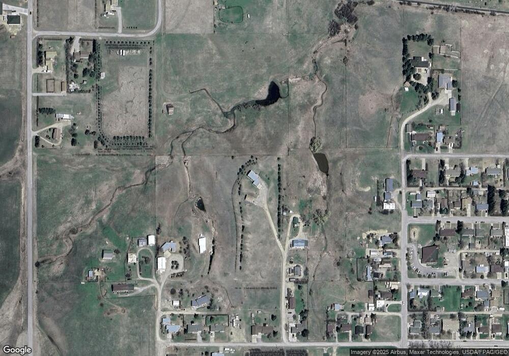
715 F St Lewistown, MT 59457
Estimated Value: $487,000 - $654,000
4
Beds
3
Baths
2,940
Sq Ft
$199/Sq Ft
Est. Value
About This Home
This home is located at 715 F St, Lewistown, MT 59457 and is currently estimated at $584,051, approximately $198 per square foot. 715 F St is a home located in Fergus County with nearby schools including Fergus High School.
Ownership History
Date
Name
Owned For
Owner Type
Purchase Details
Closed on
Jan 16, 2025
Sold by
Stallknecht Miryam E
Bought by
Lutke Douglas and Lutke Susan M
Current Estimated Value
Purchase Details
Closed on
Nov 30, 1995
Bought by
Gilbert Stallknecht F and Stallknecht Miryam E
Home Financials for this Owner
Home Financials are based on the most recent Mortgage that was taken out on this home.
Original Mortgage
$94,400
Interest Rate
7.42%
Mortgage Type
New Conventional
Create a Home Valuation Report for This Property
The Home Valuation Report is an in-depth analysis detailing your home's value as well as a comparison with similar homes in the area
Home Values in the Area
Average Home Value in this Area
Purchase History
| Date | Buyer | Sale Price | Title Company |
|---|---|---|---|
| Lutke Douglas | -- | Flying S Title And Escrow | |
| Lutke Douglas | -- | Flying S Title And Escrow | |
| Gilbert Stallknecht F | -- | -- |
Source: Public Records
Mortgage History
| Date | Status | Borrower | Loan Amount |
|---|---|---|---|
| Previous Owner | Gilbert Stallknecht F | $94,400 |
Source: Public Records
Tax History Compared to Growth
Tax History
| Year | Tax Paid | Tax Assessment Tax Assessment Total Assessment is a certain percentage of the fair market value that is determined by local assessors to be the total taxable value of land and additions on the property. | Land | Improvement |
|---|---|---|---|---|
| 2025 | $3,173 | $554,200 | $0 | $0 |
| 2024 | $2,895 | $339,100 | $0 | $0 |
| 2023 | $2,922 | $339,100 | $0 | $0 |
| 2022 | $2,643 | $252,700 | $0 | $0 |
| 2021 | $2,298 | $252,700 | $0 | $0 |
| 2020 | $2,196 | $237,168 | $0 | $0 |
| 2019 | $2,183 | $237,168 | $0 | $0 |
| 2018 | $2,262 | $242,000 | $0 | $0 |
| 2017 | $2,160 | $242,000 | $0 | $0 |
| 2016 | $2,227 | $245,000 | $0 | $0 |
| 2015 | $2,132 | $245,000 | $0 | $0 |
| 2014 | $2,000 | $128,737 | $0 | $0 |
Source: Public Records
Map
Nearby Homes
- 0 Tbd Unit 20682760
- 0 Tbd Unit 11290776
- NHN A St
- 105 Hillcrest Dr
- 1220 W Main St
- 1011 W Broadway St
- 113 15th Ave S
- NHN Truck Bypass
- TBD Truck Bypass
- 35 acres Truck Bypass
- 624 W Broadway St
- 412 W Huron St
- 414 Warr St
- 1109 W Water St
- 115 7th Ave N
- 313 W Idaho St
- 318 W Evelyn St
- 316 W Corcoran St
- 501 Wright St
- 401 7th Ave S
- 802 F St
- 702 F St
- 618 Stoddard St
- 620 Stoddard St
- 812 Wendell Ave
- 716 Wendell Ave
- 308 Mount Pleasant
- 238 Mount Pleasant
- 714 Wendell Ave
- 236 Mount Pleasant
- 310 Mount Pleasant
- 136 Sunset St
- 147 B St
- 133 Sunset St
- 230 Mount Pleasant
- 314 Mount Pleasant
- 148 B St
- 134 Sunset St
- 610 Wendell Ave
- 301 Mount Pleasant
