Estimated Value: $567,541 - $723,000
2
Beds
1
Bath
2,464
Sq Ft
$257/Sq Ft
Est. Value
About This Home
This home is located at 715 Hurricane Rd, Keene, NH 03431 and is currently estimated at $633,635, approximately $257 per square foot. 715 Hurricane Rd is a home with nearby schools including Mount Gilead Elementary School, Keene Middle School, and Mayland Early College High School.
Ownership History
Date
Name
Owned For
Owner Type
Purchase Details
Closed on
Jul 2, 2007
Sold by
Voisine Shawn and Voisine Shantel
Bought by
Rivest Debra
Current Estimated Value
Home Financials for this Owner
Home Financials are based on the most recent Mortgage that was taken out on this home.
Original Mortgage
$388,000
Outstanding Balance
$239,200
Interest Rate
6.24%
Mortgage Type
Purchase Money Mortgage
Estimated Equity
$394,435
Create a Home Valuation Report for This Property
The Home Valuation Report is an in-depth analysis detailing your home's value as well as a comparison with similar homes in the area
Home Values in the Area
Average Home Value in this Area
Purchase History
| Date | Buyer | Sale Price | Title Company |
|---|---|---|---|
| Rivest Debra | $400,000 | -- |
Source: Public Records
Mortgage History
| Date | Status | Borrower | Loan Amount |
|---|---|---|---|
| Open | Rivest Debra | $388,000 |
Source: Public Records
Tax History Compared to Growth
Tax History
| Year | Tax Paid | Tax Assessment Tax Assessment Total Assessment is a certain percentage of the fair market value that is determined by local assessors to be the total taxable value of land and additions on the property. | Land | Improvement |
|---|---|---|---|---|
| 2024 | $9,698 | $293,260 | $58,460 | $234,800 |
| 2023 | $9,189 | $288,150 | $53,350 | $234,800 |
| 2022 | $8,944 | $288,230 | $53,430 | $234,800 |
| 2021 | $9,014 | $288,170 | $53,370 | $234,800 |
| 2020 | $8,998 | $241,370 | $50,270 | $191,100 |
| 2019 | $9,074 | $241,330 | $50,230 | $191,100 |
| 2018 | $8,957 | $241,300 | $50,200 | $191,100 |
| 2017 | $8,976 | $241,170 | $50,070 | $191,100 |
| 2016 | $8,776 | $241,170 | $50,070 | $191,100 |
| 2015 | $10,760 | $312,700 | $45,800 | $266,900 |
Source: Public Records
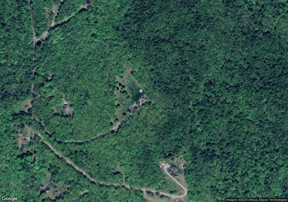
Map
Nearby Homes
- Rt Highway 12
- 14 Hurricane Rd
- 183 Wyman Rd
- 000 S Village Rd Unit 13
- Lot 27-1 Old Walpole Rd
- 0 Rd Unit 5039440
- 31 Darling Ct
- 38 Stonehouse Ln Unit A
- 28 Stonehouse Ln
- 15 Stearns Rd
- 115 Liberty Ln
- 184 Kennedy Dr
- 64 Old Walpole Rd
- 224 Darling Rd
- 106 Pako Ave
- 0 Old Gilsum Rd Unit 5034729
- 0 Old Walpole Rd Unit 1
- 110 Arch St Unit 27
- 110 Arch St Unit 42
- 11 Nut Hatch Ln
- 711 Hurricane Rd
- 719 Hurricane Rd
- 727 Hurricane Rd
- 733 Hurricane Rd
- 716 Hurricane Rd
- 707 Hurricane Rd
- 710 Hurricane Rd
- 0 Hurricane Rd
- 681 Hurricane Rd
- 739 Hurricane Rd
- 615 Hurricane Rd
- 667 Hurricane Rd
- 210 Hurricane Rd
- 659 Hurricane Rd
- 206 Hurricane Rd
- 203 Hurricane Rd
- 607 Hurricane Rd
- 618 Hurricane Rd
- 158 Hurricane Rd
- 5 Popruk Rd