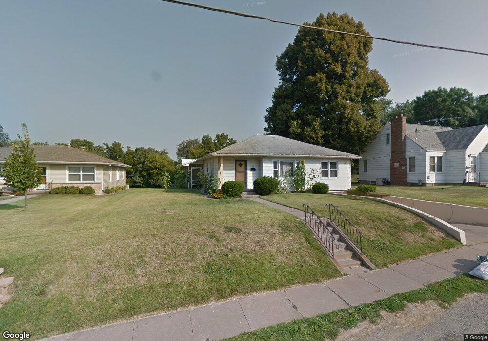
715 Maiden Ln Muscatine, IA 52761
Estimated Value: $147,111 - $162,000
3
Beds
1
Bath
988
Sq Ft
$156/Sq Ft
Est. Value
About This Home
This home is located at 715 Maiden Ln, Muscatine, IA 52761 and is currently estimated at $154,278, approximately $156 per square foot. 715 Maiden Ln is a home located in Muscatine County with nearby schools including McKinley Elementary School, Susan Clark Junior High School, and Muscatine High School.
Ownership History
Date
Name
Owned For
Owner Type
Purchase Details
Closed on
Jan 31, 2005
Sold by
Golien Marilyn Jeanne
Bought by
Jones Michael T and Jones Jamie L
Current Estimated Value
Home Financials for this Owner
Home Financials are based on the most recent Mortgage that was taken out on this home.
Original Mortgage
$88,800
Interest Rate
5.77%
Mortgage Type
Future Advance Clause Open End Mortgage
Create a Home Valuation Report for This Property
The Home Valuation Report is an in-depth analysis detailing your home's value as well as a comparison with similar homes in the area
Home Values in the Area
Average Home Value in this Area
Purchase History
| Date | Buyer | Sale Price | Title Company |
|---|---|---|---|
| Jones Michael T | $86,000 | None Available |
Source: Public Records
Mortgage History
| Date | Status | Borrower | Loan Amount |
|---|---|---|---|
| Closed | Jones Michael T | $88,800 |
Source: Public Records
Tax History Compared to Growth
Tax History
| Year | Tax Paid | Tax Assessment Tax Assessment Total Assessment is a certain percentage of the fair market value that is determined by local assessors to be the total taxable value of land and additions on the property. | Land | Improvement |
|---|---|---|---|---|
| 2025 | $2,076 | $129,930 | $21,940 | $107,990 |
| 2024 | $2,076 | $124,760 | $21,940 | $102,820 |
| 2023 | $2,120 | $124,380 | $21,942 | $102,438 |
| 2022 | $1,982 | $114,230 | $20,700 | $93,530 |
| 2021 | $1,982 | $106,080 | $20,700 | $85,380 |
| 2020 | $1,810 | $102,370 | $20,700 | $81,670 |
| 2019 | $1,902 | $94,640 | $0 | $0 |
| 2018 | $1,872 | $94,640 | $0 | $0 |
| 2017 | $1,872 | $94,640 | $0 | $0 |
| 2016 | $1,944 | $94,640 | $0 | $0 |
| 2015 | $1,944 | $89,480 | $0 | $0 |
| 2014 | $1,838 | $89,480 | $0 | $0 |
Source: Public Records
Map
Nearby Homes
- 836 Newell Ave
- 0 High Street Parcel
- 511 W 7th St
- 1603 Lucas St
- 1143 Logan St
- 518 Roscoe Ave
- 613 W 5th St
- 0 Parcel 1302108019 (Busch St)
- 410 Spruce St
- 106 W 9th St
- 1506 Buell St
- 804 Iowa Ave
- PARCEL ID 0834280023 Dillaway St
- 602 W Fulliam Ave
- 106 E 8th St
- 900 W 3rd St
- 315 W 3rd St
- 2207 Lucas St
- 2109 Americana Ave
- LOT 75 Briman Prairie