715 NW Stonepine Dr Bend, OR 97701
Awbrey Butte NeighborhoodEstimated Value: $1,406,674 - $1,669,000
3
Beds
3
Baths
3,416
Sq Ft
$444/Sq Ft
Est. Value
About This Home
This home is located at 715 NW Stonepine Dr, Bend, OR 97701 and is currently estimated at $1,515,919, approximately $443 per square foot. 715 NW Stonepine Dr is a home located in Deschutes County with nearby schools including High Lakes Elementary School, Pacific Crest Middle School, and Summit High School.
Ownership History
Date
Name
Owned For
Owner Type
Purchase Details
Closed on
Oct 18, 2006
Sold by
Otterbach Michael and Rebel Otterbach Christina
Bought by
Wilcox Scott A and Wilcox Paula M
Current Estimated Value
Home Financials for this Owner
Home Financials are based on the most recent Mortgage that was taken out on this home.
Original Mortgage
$647,000
Outstanding Balance
$374,176
Interest Rate
6%
Mortgage Type
Unknown
Estimated Equity
$1,141,743
Create a Home Valuation Report for This Property
The Home Valuation Report is an in-depth analysis detailing your home's value as well as a comparison with similar homes in the area
Home Values in the Area
Average Home Value in this Area
Purchase History
| Date | Buyer | Sale Price | Title Company |
|---|---|---|---|
| Wilcox Scott A | $809,000 | Amerititle |
Source: Public Records
Mortgage History
| Date | Status | Borrower | Loan Amount |
|---|---|---|---|
| Open | Wilcox Scott A | $647,000 |
Source: Public Records
Tax History Compared to Growth
Tax History
| Year | Tax Paid | Tax Assessment Tax Assessment Total Assessment is a certain percentage of the fair market value that is determined by local assessors to be the total taxable value of land and additions on the property. | Land | Improvement |
|---|---|---|---|---|
| 2025 | $13,155 | $778,580 | -- | -- |
| 2024 | $12,657 | $755,910 | -- | -- |
| 2023 | $11,733 | $733,900 | $0 | $0 |
| 2022 | $10,946 | $691,780 | $0 | $0 |
| 2021 | $10,963 | $671,640 | $0 | $0 |
| 2020 | $10,401 | $671,640 | $0 | $0 |
| 2019 | $10,111 | $652,080 | $0 | $0 |
| 2018 | $9,825 | $633,090 | $0 | $0 |
| 2017 | $9,537 | $614,660 | $0 | $0 |
| 2016 | $9,095 | $596,760 | $0 | $0 |
| 2015 | $8,843 | $579,380 | $0 | $0 |
| 2014 | $8,583 | $562,510 | $0 | $0 |
Source: Public Records
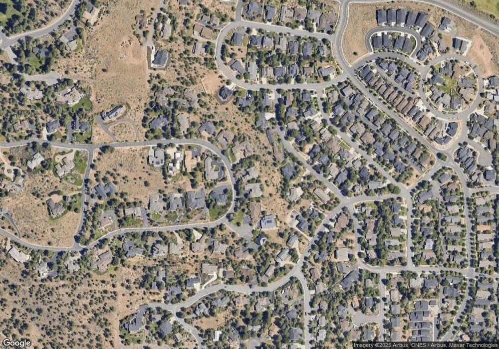
Map
Nearby Homes
- 664 NW Powell Butte Loop
- 2539 NW Awbrey Rd
- 651 NW Morelock Ct
- 2580 N West Awbrey Point Cir Unit 1&2
- 1047 NW Milton Ct
- 607 NW Trenton Ave
- 2582 NW 1st St
- 536 NW Saginaw Ave
- 2464 NW Majestic Ridge Dr
- 1650 NW 5th St
- 636 NW Portland Ave
- 628 NW Portland Ave
- 2932 NW Fairway Heights Dr
- 1159 NW Redfield Cir
- 644 NW Portland Ave
- 3419 NW Fairway Heights Dr
- 520 NW Divot Dr
- 2408 NW Majestic Ridge Dr
- 2980 NW Lucus Ct
- 545 NW Portland Ave
- 727 NW Stonepine Dr
- 703 NW Stonepine Dr
- 571 NW Greyhawk Ave
- 565 NW Greyhawk Ave
- 577 NW Greyhawk Ave
- 702 NW Stonepine Dr
- 2424 NW Hillpine Ct
- 744 NW Stonepine Dr
- 689 NW Stonepine Dr
- 2416 NW Hillpine Ct
- 583 NW Greyhawk Ave
- 553 NW Greyhawk Ave
- 2416 Hillpine Ct
- 676 NW Stonepine Dr
- 572 NW Greyhawk Ave
- 560 NW Greyhawk Ave
- 677 NW Stonepine Dr
- 768 NW Stonepine Dr
- 2421 NW Hillpine Ct
- 676 NW Powell Butte Loop