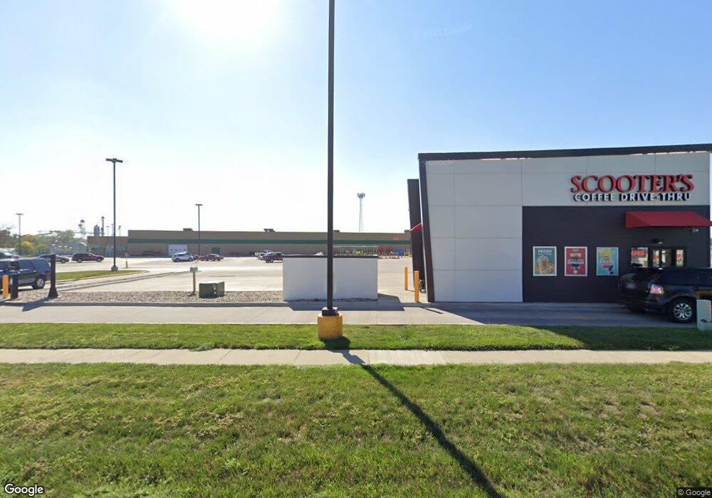
715 W Us Highway 30 Carroll, IA 51401
Estimated Value: $124,000
--
Bed
--
Bath
95,109
Sq Ft
$1/Sq Ft
Est. Value
About This Home
This home is located at 715 W Us Highway 30, Carroll, IA 51401 and is currently priced at $124,000, approximately $1 per square foot. 715 W Us Highway 30 is a home located in Carroll County with nearby schools including Fairview Elementary School, Adams Elementary School, and Carroll Middle School.
Ownership History
Date
Name
Owned For
Owner Type
Purchase Details
Closed on
Jul 26, 2017
Sold by
Minwis Inc
Bought by
Fifth Generation Investments Llc
Current Estimated Value
Home Financials for this Owner
Home Financials are based on the most recent Mortgage that was taken out on this home.
Original Mortgage
$2,752,000
Outstanding Balance
$613,621
Interest Rate
3.9%
Mortgage Type
Purchase Money Mortgage
Purchase Details
Closed on
Aug 8, 2007
Sold by
Carroll Ia Lp
Bought by
Carroll Facilities Llc
Purchase Details
Closed on
Jun 1, 2007
Sold by
Jjs Properties 4
Bought by
Minwis Inc
Create a Home Valuation Report for This Property
The Home Valuation Report is an in-depth analysis detailing your home's value as well as a comparison with similar homes in the area
Home Values in the Area
Average Home Value in this Area
Purchase History
| Date | Buyer | Sale Price | Title Company |
|---|---|---|---|
| Fifth Generation Investments Llc | -- | None Available | |
| Carroll Facilities Llc | -- | None Available | |
| Minwis Inc | -- | First American Title Insuran |
Source: Public Records
Mortgage History
| Date | Status | Borrower | Loan Amount |
|---|---|---|---|
| Open | Fifth Generation Investments Llc | $2,752,000 |
Source: Public Records
Tax History Compared to Growth
Tax History
| Year | Tax Paid | Tax Assessment Tax Assessment Total Assessment is a certain percentage of the fair market value that is determined by local assessors to be the total taxable value of land and additions on the property. | Land | Improvement |
|---|---|---|---|---|
| 2025 | $99,212 | $4,413,290 | $800,000 | $3,613,290 |
| 2024 | $99,212 | $4,046,580 | $800,000 | $3,246,580 |
| 2023 | $93,447 | $4,046,580 | $800,000 | $3,246,580 |
| 2022 | $90,886 | $3,770,680 | $800,000 | $2,970,680 |
| 2021 | $90,886 | $3,770,680 | $800,000 | $2,970,680 |
| 2020 | $90,489 | $3,916,780 | $800,000 | $3,116,780 |
| 2019 | $90,512 | $3,744,700 | $800,000 | $2,944,700 |
| 2018 | $18,070 | $3,744,700 | $800,000 | $2,944,700 |
| 2017 | $18,070 | $0 | $0 | $0 |
| 2016 | $16,266 | $0 | $0 | $0 |
| 2015 | $16,266 | $669,640 | $0 | $0 |
| 2014 | $13,698 | $669,640 | $0 | $0 |
Source: Public Records
Map
Nearby Homes
- 0 Deer Creek Ln Unit 6302348
- 907 Salinger Ave
- 0 E 10th St Unit 5423085
- 0 E 10th St Unit 6324630
- 0 E 10th St Unit 6319081
- 332 N Crawford St
- 619 W 2nd St
- 19383 U S 30
- 1036 N Crawford St
- 906 W 15th St
- 1015 N Adams St
- 1608 Salinger Ave
- 204 W 11th St
- 807 N Court St
- 226 W 13th St
- 1102 N Main St
- 120 E 1st St Unit 2
- 1108 N Main St
- 926 N Court St
- 1217 N Main St
- 712 Quint Ave
- 818 W 8th St Unit 2
- 818 W 8th St Unit 3
- 818 W 8th St Unit 4
- 421 N Whitney St
- 0 Lincoln St Unit 5416826
- 0 Lincoln St
- 501 W 5th St
- 905 W Us Highway 30
- 714 W 6th St
- 418 Lincoln St
- 820 W 8th St
- 905 U S 30
- 419 N Whitney St
- 714 W 5th St
- 518 Washington St
- 726 W 6th St
- 512 Washington St
- 506 Washington St
- 603 W 8th St