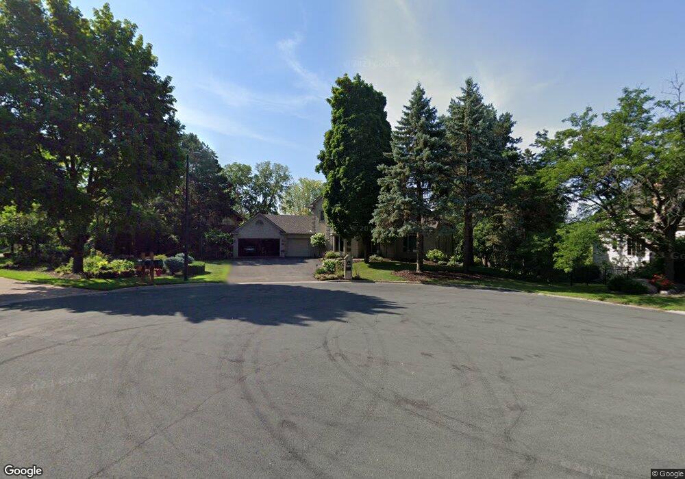
7150 Kenmare Dr Bloomington, MN 55438
West Bloomington NeighborhoodEstimated Value: $962,468 - $1,238,000
5
Beds
5
Baths
4,466
Sq Ft
$249/Sq Ft
Est. Value
About This Home
This home is located at 7150 Kenmare Dr, Bloomington, MN 55438 and is currently estimated at $1,111,117, approximately $248 per square foot. 7150 Kenmare Dr is a home located in Hennepin County with nearby schools including Olson Elementary School, Olson Middle School, and Jefferson Senior High School.
Ownership History
Date
Name
Owned For
Owner Type
Purchase Details
Closed on
May 27, 2010
Sold by
Neymark Millard and Neymark Deborah L
Bought by
Fetzer Gary B and Fetzer Renee M
Current Estimated Value
Purchase Details
Closed on
May 12, 2003
Sold by
Casey James P and Casey Denise A
Bought by
Jensen Deborah L and Neymark Millard
Purchase Details
Closed on
Jul 14, 2000
Sold by
Strachen Douglas J and Strachen Patricia A
Bought by
Casey James P and Casey Denise A
Create a Home Valuation Report for This Property
The Home Valuation Report is an in-depth analysis detailing your home's value as well as a comparison with similar homes in the area
Home Values in the Area
Average Home Value in this Area
Purchase History
| Date | Buyer | Sale Price | Title Company |
|---|---|---|---|
| Fetzer Gary B | $710,000 | -- | |
| Jensen Deborah L | $850,000 | -- | |
| Casey James P | $816,000 | -- |
Source: Public Records
Tax History
| Year | Tax Paid | Tax Assessment Tax Assessment Total Assessment is a certain percentage of the fair market value that is determined by local assessors to be the total taxable value of land and additions on the property. | Land | Improvement |
|---|---|---|---|---|
| 2024 | $13,004 | $914,600 | $304,300 | $610,300 |
| 2023 | $12,111 | $918,400 | $354,600 | $563,800 |
| 2022 | $9,919 | $849,200 | $274,300 | $574,900 |
| 2021 | $9,396 | $725,700 | $322,200 | $403,500 |
| 2020 | $9,572 | $698,600 | $313,200 | $385,400 |
| 2019 | $9,163 | $692,900 | $302,400 | $390,500 |
| 2018 | $9,350 | $656,200 | $305,400 | $350,800 |
| 2017 | $10,540 | $727,000 | $327,400 | $399,600 |
| 2016 | $10,559 | $693,700 | $331,300 | $362,400 |
| 2015 | $10,645 | $674,800 | $319,900 | $354,900 |
| 2014 | -- | $655,400 | $319,600 | $335,800 |
Source: Public Records
Map
Nearby Homes
- 7041 Kenmare Dr
- 6958 Kenmare Dr
- 7062 W 113th St Unit 1
- 11159 Sumter Ave S
- 10935 Oregon Ave S
- 7555 W 110th St
- 10905 Rhode Island Ave S
- 6100 Auto Club Rd Unit 211
- 7229 Woodstock Curve Unit 6
- 7404 Landau Dr
- 7500 Landau Dr
- 7401 Landau Dr Unit 12
- 7616 Landau Dr
- 5500 River Bluff Curve
- 10512 Quebec Rd
- 11313 Xavier Rd
- 11339 Vessey Cir
- 10421 Quebec Ave S
- 11208 Vessey Cir
- 10727 Braewood Cir
- 7160 Kenmare Dr
- 7140 Kenmare Dr
- 7170 Kenmare Dr
- 7130 Kenmare Dr
- 7011 Kenmare Dr
- 7180 Kenmare Dr
- 7120 Kenmare Dr
- 7001 Kenmare Dr
- 6999 Kenmare Dr
- 7051 Kenmare Dr
- 7101 Kenmare Dr
- 7110 Kenmare Dr
- 7012 Kenmare Dr
- 7000 Kenmare Dr
- 7024 Kenmare Dr
- 7040 Kenmare Dr
- 6969 Kenmare Dr
- 6975 Kenmare Dr
- 7050 Kenmare Dr
- 6987 Kenmare Dr
Your Personal Tour Guide
Ask me questions while you tour the home.