Estimated Value: $299,000
1
Bed
1
Bath
832
Sq Ft
$359/Sq Ft
Est. Value
About This Home
This home is located at 7153 Pontiff Rd Unit 18, Scio, OH 43988 and is currently estimated at $299,000, approximately $359 per square foot. 7153 Pontiff Rd Unit 18 is a home located in Carroll County with nearby schools including Carrollton High School.
Ownership History
Date
Name
Owned For
Owner Type
Purchase Details
Closed on
Apr 28, 2018
Sold by
Nihart Amy Marie and Nihart Wilmer
Bought by
Nihart Amy Marie and Nihart Wilmer
Current Estimated Value
Purchase Details
Closed on
Dec 11, 2012
Sold by
Tinney Oksana Noel
Bought by
Tinney Amy Marie
Purchase Details
Closed on
Sep 15, 2012
Sold by
Tauzel Damon Peter and Tinney Oksana Noel
Bought by
Tinney Oksana Noel
Purchase Details
Closed on
May 1, 2003
Bought by
Baker Amy Marie and Baker Damon
Create a Home Valuation Report for This Property
The Home Valuation Report is an in-depth analysis detailing your home's value as well as a comparison with similar homes in the area
Home Values in the Area
Average Home Value in this Area
Purchase History
| Date | Buyer | Sale Price | Title Company |
|---|---|---|---|
| Nihart Amy Marie | -- | None Available | |
| Tinney Amy Marie | -- | Attorney | |
| Tinney Oksana Noel | -- | Attorney | |
| Baker Amy Marie | -- | -- |
Source: Public Records
Tax History Compared to Growth
Tax History
| Year | Tax Paid | Tax Assessment Tax Assessment Total Assessment is a certain percentage of the fair market value that is determined by local assessors to be the total taxable value of land and additions on the property. | Land | Improvement |
|---|---|---|---|---|
| 2024 | $24 | $740 | $740 | $0 |
| 2023 | $24 | $740 | $740 | $0 |
| 2022 | $24 | $610 | $610 | $0 |
| 2021 | $20 | $610 | $610 | $0 |
| 2020 | $19 | $19,450 | $3,480 | $15,970 |
| 2019 | $608 | $19,453 | $3,479 | $15,974 |
| 2018 | $561 | $17,460 | $2,710 | $14,750 |
| 2017 | $562 | $17,460 | $2,710 | $14,750 |
| 2016 | $506 | $16,020 | $2,490 | $13,530 |
| 2015 | $506 | $16,020 | $2,490 | $13,530 |
| 2014 | $506 | $16,020 | $2,490 | $13,530 |
| 2013 | $502 | $16,020 | $2,490 | $13,530 |
Source: Public Records
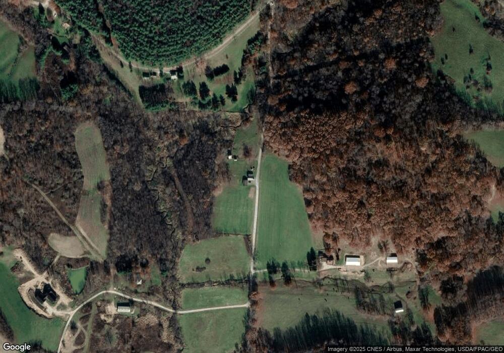
Map
Nearby Homes
- 0 Aster Rd Unit 5154135
- 3187 Amsterdam Rd SE
- 1045 Amsterdam Rd SE Unit 30
- 9100 Post Rd SE
- 9100 Post Rd
- 8125 Scio Rd SE Unit 35
- 91800 Irish Creek Rd
- 5140 Pinto Rd SE
- 4301 Steubenville Rd SE Unit 3
- 91240 Kilgore Ridge Rd Unit 47
- 3145 Steubenville Rd SE Unit 16
- 5007 Raven Rd SE Unit 4
- 90480 Kilgore Ridge Rd
- 47 Cr Laverty 47 Dr
- 5659 Steubenville Rd SE
- 5696 Steubenville Rd SE Unit 20
- 91510 Amos Rd
- 0 Country Rd
- 37420 Ohio 151
- 6142 Steubenville Rd SE
- 7153 Pontiff Rd
- 3138 Aster Rd SE Unit 18
- 7188 Pontiff Rd
- 3106 Aster Rd SE
- 7064 Singletree Rd Unit 18
- 3183 Aster Rd SE Unit 18
- 3269 Aster Rd SE
- 4089 Aster Rd SE
- 4010 Aster Rd SE
- 7021 Singletree Rd Unit 18
- 4013 Aster Rd SE
- 3335 Amsterdam Rd SE
- 6038 Singletree Rd Unit 13
- 2293 Aster Rd SE Unit 24
- 3228 Amsterdam Rd SE Unit 17
- 9999 Pontiff Rd
- 3218 Amsterdam Rd SE Unit 17
- 3187 Amsterdam Rd SE Unit 17
- 3158 Amsterdam Rd SE Unit 17