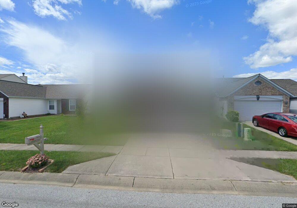
7154 Atmore Dr Indianapolis, IN 46217
Linden Wood NeighborhoodEstimated Value: $251,000 - $270,000
4
Beds
3
Baths
1,748
Sq Ft
$147/Sq Ft
Est. Value
About This Home
This home is located at 7154 Atmore Dr, Indianapolis, IN 46217 and is currently estimated at $257,387, approximately $147 per square foot. 7154 Atmore Dr is a home located in Marion County with nearby schools including William Henry Burkhart Elementary School, Perry Meridian 6th Grade Academy, and Perry Meridian Middle School.
Ownership History
Date
Name
Owned For
Owner Type
Purchase Details
Closed on
Feb 15, 2006
Sold by
National City Bank
Bought by
Hirsch David W
Current Estimated Value
Home Financials for this Owner
Home Financials are based on the most recent Mortgage that was taken out on this home.
Original Mortgage
$23,000
Outstanding Balance
$13,086
Interest Rate
6.38%
Mortgage Type
Stand Alone Second
Estimated Equity
$244,301
Purchase Details
Closed on
Nov 28, 2005
Sold by
Whitled Brian C and Whitled Lacrisha D
Bought by
National City Bank
Create a Home Valuation Report for This Property
The Home Valuation Report is an in-depth analysis detailing your home's value as well as a comparison with similar homes in the area
Home Values in the Area
Average Home Value in this Area
Purchase History
| Date | Buyer | Sale Price | Title Company |
|---|---|---|---|
| Hirsch David W | -- | None Available | |
| National City Bank | $121,500 | None Available |
Source: Public Records
Mortgage History
| Date | Status | Borrower | Loan Amount |
|---|---|---|---|
| Open | Hirsch David W | $23,000 |
Source: Public Records
Tax History Compared to Growth
Tax History
| Year | Tax Paid | Tax Assessment Tax Assessment Total Assessment is a certain percentage of the fair market value that is determined by local assessors to be the total taxable value of land and additions on the property. | Land | Improvement |
|---|---|---|---|---|
| 2024 | $2,961 | $236,500 | $24,300 | $212,200 |
| 2023 | $2,961 | $229,900 | $24,300 | $205,600 |
| 2022 | $2,809 | $214,400 | $24,300 | $190,100 |
| 2021 | $2,195 | $167,300 | $24,300 | $143,000 |
| 2020 | $2,020 | $154,000 | $24,300 | $129,700 |
| 2019 | $2,052 | $155,600 | $22,300 | $133,300 |
| 2018 | $1,770 | $136,700 | $22,300 | $114,400 |
| 2017 | $1,717 | $133,500 | $22,300 | $111,200 |
| 2016 | $1,615 | $127,200 | $22,300 | $104,900 |
| 2014 | $1,343 | $122,700 | $22,300 | $100,400 |
| 2013 | $1,376 | $119,400 | $22,300 | $97,100 |
Source: Public Records
Map
Nearby Homes
- 1108 Nanwich Ct
- 1116 Nanwich Ct
- 7236 Barnwell Place
- 7214 Brant Pointe Cir
- 1148 Nanwich Ct
- 7327 Oak Knoll Dr
- 7151 Beal Ln
- 7303 Beal Ln
- 7126 Forest Park Dr
- 747 Yosemite Dr
- 1142 Alydar Cir
- 1150 Alydar Cir
- 830 Yosemite Dr
- 7201 Broyles Ln
- 923 Bogalusa Ct
- 7259 Registry Dr
- 7412 Lattice Dr
- 1314 Tommy Lee Ct
- 602 W Southport Rd
- 655 Yosemite Dr
- 7204 Atmore Dr
- 7148 Atmore Dr
- 7210 Atmore Dr
- 7203 Glenwick Blvd
- 7209 Glenwick Blvd
- 949 Barnwell Way
- 7216 Atmore Dr
- 948 Atmore Ct
- 7215 Glenwick Blvd
- 7222 Atmore Dr
- 943 Barnwell Way
- 942 Atmore Ct
- 7221 Glenwick Blvd
- 7228 Atmore Dr
- 937 Barnwell Way
- 936 Atmore Ct
- 7223 Atmore Dr
- 7202 Glenwick Blvd
- 7208 Glenwick Blvd
- 7227 Glenwick Blvd