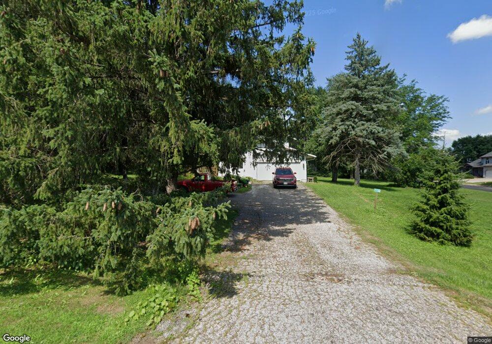
7156 Hilltop Cir de Forest, WI 53532
Estimated Value: $439,000 - $459,000
4
Beds
3
Baths
2,100
Sq Ft
$214/Sq Ft
Est. Value
About This Home
This home is located at 7156 Hilltop Cir, de Forest, WI 53532 and is currently estimated at $449,485, approximately $214 per square foot. 7156 Hilltop Cir is a home located in Dane County with nearby schools including Yahara Elementary School, DeForest Middle School, and DeForest High School.
Ownership History
Date
Name
Owned For
Owner Type
Purchase Details
Closed on
Nov 30, 2009
Sold by
Preston Jerome W and Preston Sharon L
Bought by
Horne Maxwell S
Current Estimated Value
Home Financials for this Owner
Home Financials are based on the most recent Mortgage that was taken out on this home.
Original Mortgage
$178,000
Outstanding Balance
$115,205
Interest Rate
4.75%
Mortgage Type
New Conventional
Estimated Equity
$334,280
Purchase Details
Closed on
Jun 4, 2008
Sold by
Preston Daniel J
Bought by
Preston Jerome W and Preston Sharon L
Purchase Details
Closed on
Oct 31, 2007
Sold by
Preston Jerome W and Preston Sharon L
Bought by
Preston Daniel J
Home Financials for this Owner
Home Financials are based on the most recent Mortgage that was taken out on this home.
Original Mortgage
$200,000
Interest Rate
5.25%
Mortgage Type
Seller Take Back
Create a Home Valuation Report for This Property
The Home Valuation Report is an in-depth analysis detailing your home's value as well as a comparison with similar homes in the area
Home Values in the Area
Average Home Value in this Area
Purchase History
| Date | Buyer | Sale Price | Title Company |
|---|---|---|---|
| Horne Maxwell S | $208,000 | None Available | |
| Preston Jerome W | -- | None Available | |
| Preston Daniel J | $200,000 | None Available |
Source: Public Records
Mortgage History
| Date | Status | Borrower | Loan Amount |
|---|---|---|---|
| Open | Horne Maxwell S | $178,000 | |
| Previous Owner | Preston Daniel J | $200,000 |
Source: Public Records
Tax History Compared to Growth
Tax History
| Year | Tax Paid | Tax Assessment Tax Assessment Total Assessment is a certain percentage of the fair market value that is determined by local assessors to be the total taxable value of land and additions on the property. | Land | Improvement |
|---|---|---|---|---|
| 2024 | $4,861 | $268,200 | $81,600 | $186,600 |
| 2023 | $4,385 | $268,200 | $81,600 | $186,600 |
| 2021 | $4,263 | $268,200 | $81,600 | $186,600 |
| 2020 | $4,525 | $268,200 | $81,600 | $186,600 |
| 2019 | $4,205 | $268,200 | $81,600 | $186,600 |
| 2018 | $3,457 | $207,100 | $77,000 | $130,100 |
| 2017 | $3,536 | $207,100 | $77,000 | $130,100 |
| 2016 | $3,739 | $207,100 | $77,000 | $130,100 |
| 2015 | $3,743 | $207,100 | $77,000 | $130,100 |
| 2014 | $3,733 | $207,100 | $77,000 | $130,100 |
| 2013 | $4,009 | $207,100 | $77,000 | $130,100 |
Source: Public Records
Map
Nearby Homes
- 305 Prairie Grass Trail
- 931 Clover Ln
- 985 Griffin Way
- 639 Eaglewatch Dr
- 624 W Mohawk Trail
- 411 S Lexington Pkwy Unit 411
- 620 Acker Pkwy
- 422 Old Indian Trail
- 409 Old Indian Trail
- 501 Riverside Dr
- 217 Pocahontas Ln
- 408 Iroquois Ct
- 512 Lynnbrook Ct
- 505 Wild Plum Dr
- 396 Campbell Hill Ct
- 216 Sanford Dr
- 392 Campbell Hill Ct
- 107 Carriage Way
- 4054 Great Bridge Dr
- 400 Market St
- L8 Hilltop Dr
- 4784 Hilltop Rd
- 7160 Hilltop Cir
- 515 Valley Dr
- 606 Hilltop Cir
- 837 Valley Dr
- 901 Hilltop Dr
- 7164 Hilltop Cir
- 905 Hilltop Dr
- 513 Valley Dr
- 911 Pheasant Ln
- 4776 Hilltop Rd
- 813 Hilltop Dr
- 907 Hilltop Dr
- 506 Valley Dr
- 4812 Hilltop Rd
- 7156 River Rd
- 7168 Hilltop Cir
- 4812 Hilltop Dr
- 511 Valley Dr