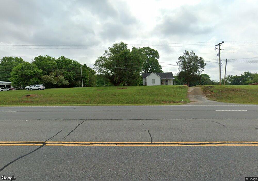
7158 N Highway 27 Rock Spring, GA 30739
Rock Spring NeighborhoodEstimated Value: $240,495 - $289,000
--
Bed
2
Baths
1,456
Sq Ft
$180/Sq Ft
Est. Value
About This Home
This home is located at 7158 N Highway 27, Rock Spring, GA 30739 and is currently estimated at $262,124, approximately $180 per square foot. 7158 N Highway 27 is a home located in Walker County with nearby schools including Rock Spring Elementary School, Lafayette High School, and Alice M Daley Adventist School.
Ownership History
Date
Name
Owned For
Owner Type
Purchase Details
Closed on
Mar 9, 2000
Sold by
Edwards Brenda C
Bought by
Edwards Eric and Edwards Nancy
Current Estimated Value
Create a Home Valuation Report for This Property
The Home Valuation Report is an in-depth analysis detailing your home's value as well as a comparison with similar homes in the area
Home Values in the Area
Average Home Value in this Area
Purchase History
| Date | Buyer | Sale Price | Title Company |
|---|---|---|---|
| Edwards Eric | -- | -- |
Source: Public Records
Tax History Compared to Growth
Tax History
| Year | Tax Paid | Tax Assessment Tax Assessment Total Assessment is a certain percentage of the fair market value that is determined by local assessors to be the total taxable value of land and additions on the property. | Land | Improvement |
|---|---|---|---|---|
| 2024 | $2,170 | $98,802 | $4,625 | $94,177 |
| 2023 | $1,929 | $85,280 | $3,671 | $81,609 |
| 2022 | $1,806 | $73,432 | $3,741 | $69,691 |
| 2021 | $1,492 | $54,337 | $3,741 | $50,596 |
| 2020 | $1,288 | $44,771 | $3,741 | $41,030 |
| 2019 | $1,309 | $44,771 | $3,741 | $41,030 |
| 2018 | $1,185 | $44,771 | $3,741 | $41,030 |
| 2017 | $1,430 | $44,673 | $3,643 | $41,030 |
| 2016 | $1,174 | $44,673 | $3,643 | $41,030 |
| 2015 | $1,235 | $44,434 | $5,092 | $39,342 |
| 2014 | $1,136 | $44,434 | $5,092 | $39,342 |
| 2013 | -- | $44,433 | $5,092 | $39,341 |
Source: Public Records
Map
Nearby Homes
- 10180 Us Highway 27
- 1003 Highway N Old 27
- 5602 Georgia 95
- 00 Georgia 95
- 1370 Old Highway 27
- 701 Bicentennial Trail
- 23 Willow Cir
- 16 Willow Cir
- 11 Willow Cir
- The Pearson Plan at Laurel Ridge
- The Benson II Plan at Laurel Ridge
- The Langford Plan at Laurel Ridge
- The Lawson Plan at Laurel Ridge
- The Coleman Plan at Laurel Ridge
- The McGinnis Plan at Laurel Ridge
- The Caldwell Plan at Laurel Ridge
- 1902 Long Hollow Rd
- 195 Honeysuckle Dr
- 234 Dad Taylor Dr
- 136 Ginger Lake Dr
- 294 Starlight Dr
- 148 Graham Cir
- 178 Graham Cir
- 7192 Us Highway 27
- 138 Graham Cir
- 76 Griggs Ln
- 293 Starlight Dr
- 118 Graham Cir
- 7154 N Highway 27
- 132 Graham Rd
- 278 Starlight Dr
- 115 Graham Cir
- 7142 N Highway 27
- 191 Graham Cir
- 238 Graham Cir
- 00 Bicentennial Trail
- 15 Griggs Ln
- 0 Bicentennial Trail Unit 10519258
- 0 Bicentennial Trail Unit 7577111
- 0 Bicentennial Trail Unit 20074476