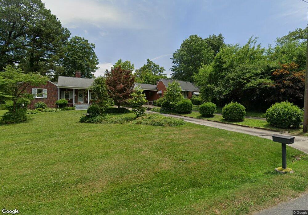
716 Brookside Dr High Point, NC 27262
Greater High Point NeighborhoodEstimated Value: $217,149 - $281,000
2
Beds
1
Bath
1,757
Sq Ft
$146/Sq Ft
Est. Value
About This Home
This home is located at 716 Brookside Dr, High Point, NC 27262 and is currently estimated at $255,787, approximately $145 per square foot. 716 Brookside Dr is a home located in Guilford County with nearby schools including Kirkman Park Elementary School, Penn-Griffin School for the Arts, and T.W. Andrews High School.
Ownership History
Date
Name
Owned For
Owner Type
Purchase Details
Closed on
May 19, 2025
Sold by
Peele Angela and Peele Richard Lynn
Bought by
Angela W Peele Revocable Trust and Peele
Current Estimated Value
Purchase Details
Closed on
Nov 30, 2009
Bought by
Peele Angela W
Purchase Details
Closed on
Feb 21, 2003
Sold by
Stepp Othello K
Bought by
Peele Angela
Create a Home Valuation Report for This Property
The Home Valuation Report is an in-depth analysis detailing your home's value as well as a comparison with similar homes in the area
Home Values in the Area
Average Home Value in this Area
Purchase History
| Date | Buyer | Sale Price | Title Company |
|---|---|---|---|
| Angela W Peele Revocable Trust | -- | None Listed On Document | |
| Angela W Peele Revocable Trust | -- | None Listed On Document | |
| Peele Angela W | -- | -- | |
| Peele Angela | -- | -- |
Source: Public Records
Tax History
| Year | Tax Paid | Tax Assessment Tax Assessment Total Assessment is a certain percentage of the fair market value that is determined by local assessors to be the total taxable value of land and additions on the property. | Land | Improvement |
|---|---|---|---|---|
| 2025 | $1,965 | $142,600 | $35,000 | $107,600 |
| 2024 | $1,965 | $142,600 | $35,000 | $107,600 |
| 2023 | $1,965 | $142,600 | $35,000 | $107,600 |
| 2022 | $1,922 | $142,600 | $35,000 | $107,600 |
| 2021 | $1,549 | $112,400 | $24,000 | $88,400 |
| 2020 | $1,549 | $112,400 | $24,000 | $88,400 |
| 2019 | $1,549 | $112,400 | $0 | $0 |
| 2018 | $0 | $112,400 | $0 | $0 |
| 2017 | $0 | $112,400 | $0 | $0 |
| 2016 | $1,512 | $107,800 | $0 | $0 |
| 2015 | $1,520 | $107,800 | $0 | $0 |
| 2014 | $1,546 | $107,800 | $0 | $0 |
Source: Public Records
Map
Nearby Homes
- 721 Forrest St
- 719 Forrest St
- 509 Woodrow Ave
- 304 Louise Ave
- 910 E Dayton Ave
- 1310 Madison St
- 905 Mint Ave
- 1108 Forrest St
- 1110 Forrest St
- 837 Willow Place
- 844 Willow Place
- 1428 Futrelle Dr
- 613 Woodridge Ln
- 1433 Larkin St
- 1518 Johnson St
- 513 Saunders Place Unit A & B
- 511 Saunders Place Unit A & B
- 1507 Larkin St
- 207 Hillcrest Dr
- 1602 Larkin St
- 718 Brookside Dr
- 714 Brookside Dr
- 720 Brookside Dr
- 710 Brookside Dr
- 717 Forrest St
- 715 Forrest St
- 713 Forrest St
- 708 Brookside Dr
- 711 Forrest St
- 723 Forrest St
- 709 Forrest St
- 706 Brookside Dr
- 727 Forrest St
- 707 Forrest St
- 401 North Ave
- 710 Forrest St
- 718 Forrest St
- 707 Brookside Dr
- 546 E Farriss Ave
- 542 E Farriss Ave
Your Personal Tour Guide
Ask me questions while you tour the home.