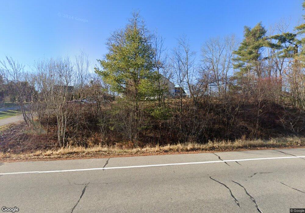
716 East Bridge Westbrook, ME 04092
Estimated Value: $394,000 - $438,000
2
Beds
1
Bath
750
Sq Ft
$559/Sq Ft
Est. Value
About This Home
This home is located at 716 East Bridge, Westbrook, ME 04092 and is currently estimated at $419,102, approximately $558 per square foot. 716 East Bridge is a home located in Cumberland County with nearby schools including Westbrook High School, St. Brigid School, and Breakwater School.
Ownership History
Date
Name
Owned For
Owner Type
Purchase Details
Closed on
Sep 25, 2014
Sold by
Wilson Christopher
Bought by
Heak Doeun P
Current Estimated Value
Home Financials for this Owner
Home Financials are based on the most recent Mortgage that was taken out on this home.
Original Mortgage
$163,975
Outstanding Balance
$125,803
Interest Rate
4.12%
Mortgage Type
FHA
Estimated Equity
$293,299
Purchase Details
Closed on
Apr 22, 2014
Sold by
Wilson Christopher
Bought by
Drinkwater Scott
Purchase Details
Closed on
Feb 18, 2014
Sold by
Davis Constance B
Bought by
Wilson Christopher
Purchase Details
Closed on
Dec 18, 2007
Sold by
Davis Constance B
Bought by
Y2k Homes Inc
Create a Home Valuation Report for This Property
The Home Valuation Report is an in-depth analysis detailing your home's value as well as a comparison with similar homes in the area
Purchase History
| Date | Buyer | Sale Price | Title Company |
|---|---|---|---|
| Heak Doeun P | -- | -- | |
| Drinkwater Scott | -- | -- | |
| Wilson Christopher | -- | -- | |
| Y2k Homes Inc | -- | -- |
Source: Public Records
Mortgage History
| Date | Status | Borrower | Loan Amount |
|---|---|---|---|
| Open | Heak Doeun P | $163,975 |
Source: Public Records
Tax History
| Year | Tax Paid | Tax Assessment Tax Assessment Total Assessment is a certain percentage of the fair market value that is determined by local assessors to be the total taxable value of land and additions on the property. | Land | Improvement |
|---|---|---|---|---|
| 2023 | $3,721 | $223,100 | $77,100 | $146,000 |
| 2022 | $3,365 | $185,900 | $64,200 | $121,700 |
| 2021 | $3,315 | $185,900 | $64,200 | $121,700 |
| 2020 | $3,320 | $185,900 | $64,200 | $121,700 |
| 2019 | $3,320 | $185,900 | $64,200 | $121,700 |
| 2018 | $3,058 | $153,300 | $55,800 | $97,500 |
| 2017 | $2,894 | $153,300 | $55,800 | $97,500 |
| 2016 | $2,821 | $153,300 | $55,800 | $97,500 |
| 2015 | $2,753 | $153,300 | $55,800 | $97,500 |
| 2014 | $2,819 | $163,900 | $60,100 | $103,800 |
| 2013 | $2,958 | $172,000 | $68,200 | $103,800 |
Source: Public Records
Map
Nearby Homes
- 0 Reed St
- 151 Brooks Edge Farm Rd Unit 68
- 106 Euclid Ave
- 69 Euclid Ave
- Lot TBD Epping St
- 95 Lane Ave
- 37 Bailey Ave
- 10 Kasseys Way Unit 1
- 7 Kasseys Way Unit 5
- 1087 Riverside St
- 171 Brook St Unit 49
- 171 Brook St Unit 44
- 171 Brook St Unit 50
- 171 Brook St Unit 52
- 171 Brook St Unit 46
- 171 Brook St Unit 41
- 171 Brook St Unit 47
- 171 Brook St Unit 54
- 171 Brook St Unit 76
- 171 Brook St Unit 48
- 716 E Bridge St
- 710 E Bridge St Unit 1
- 710 E Bridge St
- 708 E Bridge St
- 69 Marlu St
- 704 E Bridge St
- 700 E Bridge Street Lot B
- 67 Marlu St
- 700 E Bridge St
- 700 E Bridge St
- 692 E Bridge St
- 65 Marlu St
- 66 Marlu St
- 674 E Bridge St
- 63 Marlu St
- 64 Marlu St
- Lot 14 Bridgton
- 0 Bridgton Road - Route 302 Unit 992387
- 00* Bridgton Rd
- 2 Bridgton Rd
