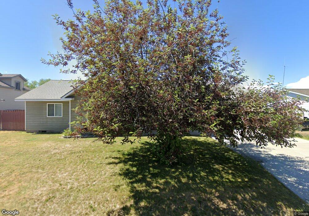
716 Linda Ln Three Forks, MT 59752
Estimated Value: $524,989 - $549,000
3
Beds
2
Baths
1,502
Sq Ft
$357/Sq Ft
Est. Value
About This Home
This home is located at 716 Linda Ln, Three Forks, MT 59752 and is currently estimated at $535,997, approximately $356 per square foot. 716 Linda Ln is a home located in Gallatin County with nearby schools including Three Forks Elementary School, Three Forks Junior High School, and Three Forks High School.
Ownership History
Date
Name
Owned For
Owner Type
Purchase Details
Closed on
Jul 26, 2022
Sold by
Lee Merritt Leslie
Bought by
Maccochran James Mac
Current Estimated Value
Purchase Details
Closed on
Aug 29, 2005
Sold by
Dickinson Robert E and Dickinson Mary E
Bought by
Kitch Todd E and Kitch Michelle A
Home Financials for this Owner
Home Financials are based on the most recent Mortgage that was taken out on this home.
Original Mortgage
$228,202
Interest Rate
5.7%
Mortgage Type
Purchase Money Mortgage
Create a Home Valuation Report for This Property
The Home Valuation Report is an in-depth analysis detailing your home's value as well as a comparison with similar homes in the area
Home Values in the Area
Average Home Value in this Area
Purchase History
| Date | Buyer | Sale Price | Title Company |
|---|---|---|---|
| Maccochran James Mac | -- | Stuart R Whitehair Pc | |
| Kitch Todd E | -- | American Land Title Company |
Source: Public Records
Mortgage History
| Date | Status | Borrower | Loan Amount |
|---|---|---|---|
| Previous Owner | Kitch Todd E | $228,202 |
Source: Public Records
Tax History Compared to Growth
Tax History
| Year | Tax Paid | Tax Assessment Tax Assessment Total Assessment is a certain percentage of the fair market value that is determined by local assessors to be the total taxable value of land and additions on the property. | Land | Improvement |
|---|---|---|---|---|
| 2025 | $2,394 | $578,600 | $0 | $0 |
| 2024 | $3,124 | $483,700 | $0 | $0 |
| 2023 | $3,338 | $483,700 | $0 | $0 |
| 2022 | $2,438 | $302,400 | $0 | $0 |
| 2021 | $2,551 | $302,400 | $0 | $0 |
| 2020 | $2,412 | $255,700 | $0 | $0 |
| 2019 | $1,961 | $255,700 | $0 | $0 |
| 2018 | $1,843 | $215,100 | $0 | $0 |
| 2017 | $1,807 | $215,100 | $0 | $0 |
| 2016 | $1,692 | $204,000 | $0 | $0 |
| 2015 | $1,730 | $204,000 | $0 | $0 |
| 2014 | $1,622 | $115,805 | $0 | $0 |
Source: Public Records
Map
Nearby Homes
- 416 W Adams St
- 605 3rd Ave W
- TBD Mt Hwy 2 Lot 3
- TBD Mt Hwy 2 Lot 1
- 408 S Main St
- 210 1st Ave W
- 104 N California St
- 206 1st Ave W
- 8 E Front St
- 0 Tbd Legacy Dr
- 610 2nd Ave E
- 5211 Old Yellowstone Trail
- 411 3rd Ave E
- 7 N 2nd Ave E
- 511 E Fir St
- 123 N 4th Ave E
- NHN Old Town Rd
- Lot 23 Aurora Loop Morning Sky Estates
- TBD Wild Rose
- Lot 33 Scarlet Trail