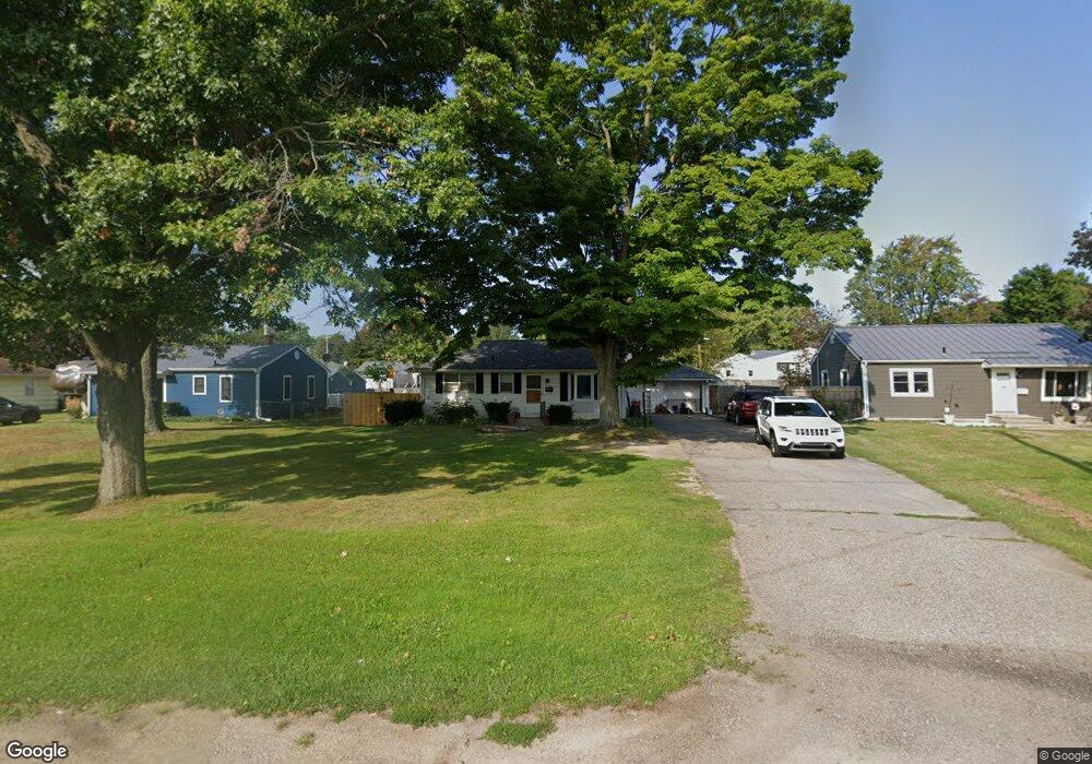
716 Riverside Dr Battle Creek, MI 49015
Minges Brook Riverside NeighborhoodEstimated Value: $171,078 - $201,000
3
Beds
1
Bath
864
Sq Ft
$213/Sq Ft
Est. Value
About This Home
This home is located at 716 Riverside Dr, Battle Creek, MI 49015 and is currently estimated at $183,770, approximately $212 per square foot. 716 Riverside Dr is a home located in Calhoun County with nearby schools including Lakeview Middle School, Lakeview High School, and Battle Creek Montessori Academy.
Ownership History
Date
Name
Owned For
Owner Type
Purchase Details
Closed on
Nov 25, 2009
Sold by
Glassner Evelyn A and Parker Thomas E
Bought by
Ockerman Leslie Mae
Current Estimated Value
Home Financials for this Owner
Home Financials are based on the most recent Mortgage that was taken out on this home.
Original Mortgage
$78,452
Outstanding Balance
$51,720
Interest Rate
5.11%
Mortgage Type
FHA
Estimated Equity
$132,050
Create a Home Valuation Report for This Property
The Home Valuation Report is an in-depth analysis detailing your home's value as well as a comparison with similar homes in the area
Home Values in the Area
Average Home Value in this Area
Purchase History
| Date | Buyer | Sale Price | Title Company |
|---|---|---|---|
| Ockerman Leslie Mae | $79,900 | Ct |
Source: Public Records
Mortgage History
| Date | Status | Borrower | Loan Amount |
|---|---|---|---|
| Open | Ockerman Leslie Mae | $78,452 |
Source: Public Records
Tax History Compared to Growth
Tax History
| Year | Tax Paid | Tax Assessment Tax Assessment Total Assessment is a certain percentage of the fair market value that is determined by local assessors to be the total taxable value of land and additions on the property. | Land | Improvement |
|---|---|---|---|---|
| 2025 | -- | $66,500 | $0 | $0 |
| 2024 | $1,629 | $61,765 | $0 | $0 |
| 2023 | $1,855 | $54,883 | $0 | $0 |
| 2022 | $1,471 | $49,482 | $0 | $0 |
| 2021 | $1,806 | $47,059 | $0 | $0 |
| 2020 | $1,700 | $45,791 | $0 | $0 |
| 2019 | $1,693 | $44,946 | $0 | $0 |
| 2018 | $1,693 | $44,398 | $3,224 | $41,174 |
| 2017 | $1,641 | $41,740 | $0 | $0 |
| 2016 | $1,638 | $38,188 | $0 | $0 |
| 2015 | $1,524 | $35,711 | $3,275 | $32,436 |
| 2014 | $1,524 | $34,080 | $3,275 | $30,805 |
Source: Public Records
Map
Nearby Homes
- V/L Riverside Dr
- 620 Meadow Dr
- 320 N Ridgeway Dr
- 214 Morningside Dr
- 175 S Ridgeway Dr
- 210 Briar Hill Dr
- 117 Meadow Dr
- 1227 Capital Ave SW
- 317 Country Club Terrace
- 170 Frances Dr E
- 239 Brewer Dr S
- 160 Lincoln Hill Dr
- 1116 Lakeside Dr S
- 32 Golden Ave
- 245 Columbia Ave E
- 1200 Lakeside Dr S
- 112 Darragh Dr
- 326 Goldenview Dr
- 415 Oakvale Ct
- 621 Golden Ave
- 712 Riverside Dr
- 720 Riverside Dr
- 320 N Moorland Dr
- 326 N Moorland Dr
- 314 N Moorland Dr
- 708 Riverside Dr
- 722 Riverside Dr
- VL Riverside Dr
- 0 Riverside Dr
- 332 N Moorland Dr
- 308 N Moorland Dr
- 704 Riverside Dr
- 821 Meadow Dr
- 338 N Moorland Dr
- 717 Riverside Dr
- 721 Riverside Dr
- 302 N Moorland Dr
- 321 N Moorland Dr
- 315 N Moorland Dr
- 901 Meadow Dr