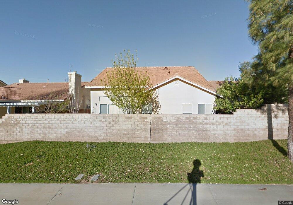
716 Weather Way Banning, CA 92220
Estimated Value: $373,000 - $400,000
2
Beds
3
Baths
1,835
Sq Ft
$210/Sq Ft
Est. Value
About This Home
This home is located at 716 Weather Way, Banning, CA 92220 and is currently estimated at $385,479, approximately $210 per square foot. 716 Weather Way is a home located in Riverside County with nearby schools including Banning High School and Calvary Christian School.
Ownership History
Date
Name
Owned For
Owner Type
Purchase Details
Closed on
Feb 2, 2021
Sold by
Emanuelson Richard and Emanuelson Bolivia
Bought by
Emanuelson Richard and Emanuelson Bolivia
Current Estimated Value
Home Financials for this Owner
Home Financials are based on the most recent Mortgage that was taken out on this home.
Original Mortgage
$239,471
Outstanding Balance
$213,809
Interest Rate
2.6%
Mortgage Type
VA
Estimated Equity
$171,670
Purchase Details
Closed on
May 31, 2007
Sold by
Emanuelson Richard and Emanuelson Bolivia
Bought by
Emanuelson Richard and Emanuelson Bolivia
Purchase Details
Closed on
Jan 13, 2004
Sold by
Banning 144 Llc
Bought by
Emanuelson Richard and Emanuelson Bolivia
Home Financials for this Owner
Home Financials are based on the most recent Mortgage that was taken out on this home.
Original Mortgage
$155,150
Interest Rate
5.8%
Mortgage Type
Purchase Money Mortgage
Create a Home Valuation Report for This Property
The Home Valuation Report is an in-depth analysis detailing your home's value as well as a comparison with similar homes in the area
Home Values in the Area
Average Home Value in this Area
Purchase History
| Date | Buyer | Sale Price | Title Company |
|---|---|---|---|
| Emanuelson Richard | -- | Premium Title Of Ca Inc | |
| Emanuelson Richard | -- | None Available | |
| Emanuelson Richard | -- | None Available | |
| Emanuelson Richard | $194,000 | First American Title Co |
Source: Public Records
Mortgage History
| Date | Status | Borrower | Loan Amount |
|---|---|---|---|
| Open | Emanuelson Richard | $239,471 | |
| Closed | Emanuelson Richard | $155,150 |
Source: Public Records
Tax History Compared to Growth
Tax History
| Year | Tax Paid | Tax Assessment Tax Assessment Total Assessment is a certain percentage of the fair market value that is determined by local assessors to be the total taxable value of land and additions on the property. | Land | Improvement |
|---|---|---|---|---|
| 2025 | $3,678 | $275,802 | $49,750 | $226,052 |
| 2023 | $3,678 | $265,094 | $47,819 | $217,275 |
| 2022 | $3,595 | $259,897 | $46,882 | $213,015 |
| 2021 | $3,524 | $254,802 | $45,963 | $208,839 |
| 2020 | $3,493 | $252,190 | $45,492 | $206,698 |
| 2019 | $3,437 | $247,246 | $44,600 | $202,646 |
| 2018 | $3,413 | $242,399 | $43,727 | $198,672 |
| 2017 | $2,903 | $206,000 | $37,000 | $169,000 |
| 2016 | $2,676 | $196,000 | $35,000 | $161,000 |
| 2015 | $2,414 | $177,000 | $32,000 | $145,000 |
| 2014 | $2,445 | $177,000 | $32,000 | $145,000 |
Source: Public Records
Map
Nearby Homes
- 2664 Hazy Way
- 738 Amber Sky St
- 2906 Summer Set Cir
- 555 S 22nd St
- 3060 Summer Set Cir
- 612 S 22nd St
- 2174 W Monroe St
- 2356 W Hays St
- 2288 W Williams St
- 1574 W Lincoln St
- 43145 Bob Cat Rd
- 1447 W Westward Ave
- 42850 Hill Top Dr
- 3694 W Ramsey St
- 3066 W George St
- 3087 W George St
- 2200 W Wilson St Unit 125
- 2200 W Wilson St Unit 41
- 2200 W Wilson St Unit 71
- 2200 W Wilson St Unit 123
- 728 Weather Way
- 698 Weather Way
- 746 Weather Way
- 686 Weather Way
- 2649 Clear Ct
- 2648 Clear Ct
- 2648 Hazy Way
- 760 Weather Way
- 668 Weather Way
- 2665 Clear Ct
- 670 S Woodland Ave
- 2664 Clear Ct
- 654 Weather Way
- 2681 Clear Ct
- 2645 Rainbow Ln
- 2680 Clear Ct
- 2680 Hazy Way
- 624 S Woodland Ave
- 2661 Rainbow Ln
- 2647 Hazy Way