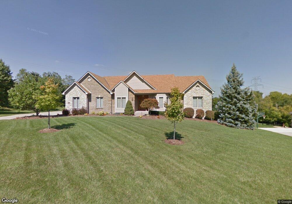
7160 High Pointe Ln Cincinnati, OH 45248
Estimated Value: $615,371 - $859,000
3
Beds
3
Baths
2,363
Sq Ft
$309/Sq Ft
Est. Value
About This Home
This home is located at 7160 High Pointe Ln, Cincinnati, OH 45248 and is currently estimated at $729,343, approximately $308 per square foot. 7160 High Pointe Ln is a home located in Hamilton County with nearby schools including John Foster Dulles Elementary School, Rapid Run Middle School, and Oak Hills High School.
Ownership History
Date
Name
Owned For
Owner Type
Purchase Details
Closed on
Dec 15, 2003
Sold by
Lasita Danny W and Lasita Pamela A
Bought by
Willhite Joyce and The Joyce Willhite Trust
Current Estimated Value
Home Financials for this Owner
Home Financials are based on the most recent Mortgage that was taken out on this home.
Original Mortgage
$200,000
Interest Rate
5.94%
Mortgage Type
Unknown
Purchase Details
Closed on
Sep 19, 1998
Sold by
Lasita Danny W and Lasita Pamela A
Bought by
Lasita Danny W and Lasita Pamela A
Purchase Details
Closed on
Aug 12, 1997
Sold by
Lasita Danny W and Lasita Pamela A
Bought by
Lasita Danny W and Lasita Pamela A
Home Financials for this Owner
Home Financials are based on the most recent Mortgage that was taken out on this home.
Original Mortgage
$280,000
Interest Rate
7.71%
Purchase Details
Closed on
Apr 24, 1997
Sold by
D D Development Ltd
Bought by
Lasita Danny W and Lasita Pamela A
Create a Home Valuation Report for This Property
The Home Valuation Report is an in-depth analysis detailing your home's value as well as a comparison with similar homes in the area
Home Values in the Area
Average Home Value in this Area
Purchase History
| Date | Buyer | Sale Price | Title Company |
|---|---|---|---|
| Willhite Joyce | $475,000 | -- | |
| Lasita Danny W | -- | -- | |
| Lasita Danny W | -- | -- | |
| Lasita Danny W | $64,900 | -- |
Source: Public Records
Mortgage History
| Date | Status | Borrower | Loan Amount |
|---|---|---|---|
| Closed | Willhite Joyce | $200,000 | |
| Previous Owner | Lasita Danny W | $280,000 |
Source: Public Records
Tax History
| Year | Tax Paid | Tax Assessment Tax Assessment Total Assessment is a certain percentage of the fair market value that is determined by local assessors to be the total taxable value of land and additions on the property. | Land | Improvement |
|---|---|---|---|---|
| 2025 | $9,397 | $180,037 | $36,946 | $143,091 |
| 2023 | $9,184 | $180,037 | $36,946 | $143,091 |
| 2022 | $9,387 | $173,391 | $41,381 | $132,010 |
| 2021 | $9,476 | $173,391 | $41,381 | $132,010 |
| 2020 | $9,476 | $173,391 | $41,381 | $132,010 |
| 2019 | $9,285 | $154,812 | $36,946 | $117,866 |
| 2018 | $9,298 | $154,812 | $36,946 | $117,866 |
| 2017 | $8,780 | $154,812 | $36,946 | $117,866 |
| 2016 | $8,765 | $154,130 | $36,575 | $117,555 |
| 2015 | $8,824 | $154,130 | $36,575 | $117,555 |
| 2014 | $8,834 | $154,130 | $36,575 | $117,555 |
| 2013 | $8,339 | $155,687 | $36,946 | $118,741 |
Source: Public Records
Map
Nearby Homes
- 3593 Sandal Ln
- 3388 Markdale Ct
- 6903 Taylor Rd
- 6880 Rackview Rd
- 7634 Bridgetown Rd
- 6684 Powner Farm Dr
- 7650 Dog Trot Rd
- 3905 Springoak Dr
- 3105 Laurel Hill Ln
- 6831 Wesselman Rd
- 7072 Wesselman Rd
- 2660 Coshocton Ct
- 2763 Gallia Dr
- B Dr
- 7104 Wesselman Rd
- 2794 Buckridge Dr
- 7284 Kirkridge Dr
- 4125 Sophias Way
- 3036 Barnbougle Dr
- 6419 Louese Ln
- 7146 High Pointe Ln
- 7180 High Pointe Ln
- 7151 High Pointe Ln
- 7167 High Pointe Ln
- 7120 High Pointe Ln
- 7246 Bridgetown Rd
- 7135 High Pointe Ln
- 7190 High Pointe Ln
- 7123 High Pointe Ln
- 3786 Tower Rd
- 7222 Bridgetown Rd
- 7108 High Pointe Ln
- 7111 High Pointe Ln
- 3814 Tower Rd
- 7212 Bridgetown Rd
- 7249 Bridgetown Rd
- 7261 Bridgetown Rd
- 7227 Bridgetown Rd
- 7107 High Pointe Ln
- 7192 Bridgetown Rd
Your Personal Tour Guide
Ask me questions while you tour the home.