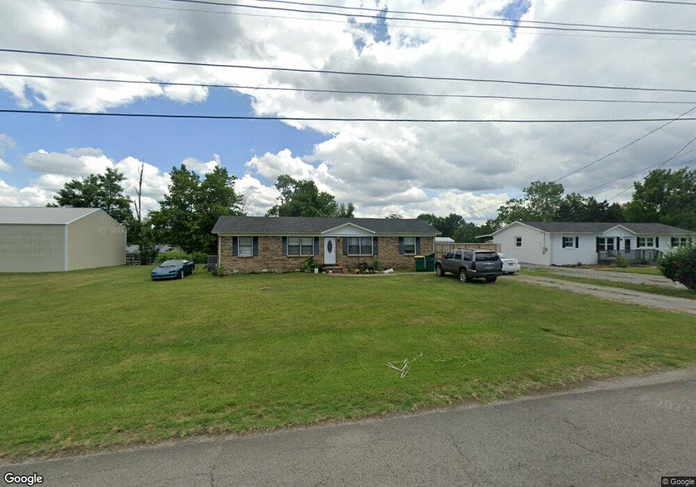
717 Brents Rd Lewisburg, TN 37091
Estimated Value: $192,132 - $257,000
--
Bed
1
Bath
1,739
Sq Ft
$134/Sq Ft
Est. Value
About This Home
This home is located at 717 Brents Rd, Lewisburg, TN 37091 and is currently estimated at $233,283, approximately $134 per square foot. 717 Brents Rd is a home located in Marshall County with nearby schools including Oak Grove Elementary School, Marshall Elementary School, and Westhills Elementary School.
Ownership History
Date
Name
Owned For
Owner Type
Purchase Details
Closed on
Sep 5, 2017
Sold by
Baugher Bryant L
Bought by
Shannon Liggett
Current Estimated Value
Home Financials for this Owner
Home Financials are based on the most recent Mortgage that was taken out on this home.
Original Mortgage
$90,909
Outstanding Balance
$75,915
Interest Rate
3.9%
Mortgage Type
New Conventional
Estimated Equity
$157,368
Purchase Details
Closed on
Apr 24, 2002
Sold by
Greer Mary A and Greer Amy C
Bought by
Bryant Baugher L
Purchase Details
Closed on
Apr 11, 2002
Bought by
Bryant Baugher L
Purchase Details
Closed on
Oct 29, 1999
Sold by
Linley Deborah F
Bought by
Greer Mary A and Greer Amy C
Create a Home Valuation Report for This Property
The Home Valuation Report is an in-depth analysis detailing your home's value as well as a comparison with similar homes in the area
Home Values in the Area
Average Home Value in this Area
Purchase History
| Date | Buyer | Sale Price | Title Company |
|---|---|---|---|
| Shannon Liggett | $90,000 | -- | |
| Bryant Baugher L | $45,743 | -- | |
| Bryant Baugher L | $45,743 | -- | |
| Greer Mary A | $73,900 | -- |
Source: Public Records
Mortgage History
| Date | Status | Borrower | Loan Amount |
|---|---|---|---|
| Open | Shannon Liggett | $90,909 |
Source: Public Records
Tax History Compared to Growth
Tax History
| Year | Tax Paid | Tax Assessment Tax Assessment Total Assessment is a certain percentage of the fair market value that is determined by local assessors to be the total taxable value of land and additions on the property. | Land | Improvement |
|---|---|---|---|---|
| 2024 | -- | $38,025 | $4,000 | $34,025 |
| 2023 | $1,181 | $38,025 | $4,000 | $34,025 |
| 2022 | $1,181 | $38,025 | $4,000 | $34,025 |
| 2021 | $864 | $18,575 | $2,000 | $16,575 |
| 2020 | $850 | $18,275 | $2,000 | $16,275 |
| 2019 | $823 | $18,275 | $2,000 | $16,275 |
| 2018 | $814 | $18,275 | $2,000 | $16,275 |
| 2017 | $814 | $18,275 | $2,000 | $16,275 |
| 2016 | $871 | $17,025 | $2,000 | $15,025 |
| 2015 | $795 | $17,025 | $2,000 | $15,025 |
| 2014 | $795 | $17,025 | $2,000 | $15,025 |
Source: Public Records
Map
Nearby Homes
- 1025 Glenn Ave
- 1204 Glenn Ave
- 627 6th Ave N
- 630 6th Ave N
- 319 Greenwood St
- 231 Greenwood St
- 594 5th Ave N
- 638 2nd Ave N
- 1329 Amberwood Ct
- 1600 Larry Dospil Dr
- 655 Glenn Ave
- 966 Sumerset Cir
- 543 2nd Ave N
- 0 New Lake Rd Unit RTC3030964
- 726 Thomas Ave
- 1144 Apple St
- 316 Haynes St
- 416 1st Ave N
- 215 5th Ave N
- 2998 Verona Caney Rd