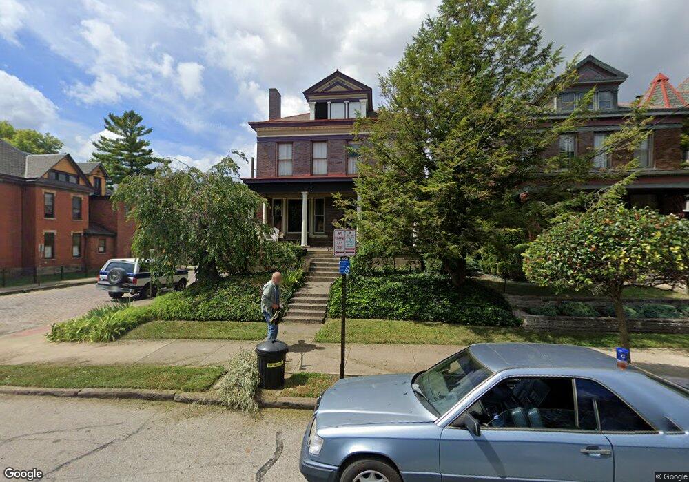
717 Dennison Ave Columbus, OH 43215
Victorian Village NeighborhoodEstimated Value: $611,000 - $903,000
3
Beds
2
Baths
3,108
Sq Ft
$235/Sq Ft
Est. Value
About This Home
This home is located at 717 Dennison Ave, Columbus, OH 43215 and is currently estimated at $729,349, approximately $234 per square foot. 717 Dennison Ave is a home located in Franklin County with nearby schools including Hubbard Elementary School, Dominion Middle School, and Whetstone High School.
Ownership History
Date
Name
Owned For
Owner Type
Purchase Details
Closed on
Jan 26, 2000
Sold by
Liakos Gregory J and Blanchong Tammy A
Bought by
Hoess Joseph C
Current Estimated Value
Purchase Details
Closed on
Apr 15, 1998
Sold by
Beach Thomas J and Paxton Paul D
Bought by
Liakos Gregory J and Blanchong Tammy A
Purchase Details
Closed on
Dec 4, 1987
Create a Home Valuation Report for This Property
The Home Valuation Report is an in-depth analysis detailing your home's value as well as a comparison with similar homes in the area
Home Values in the Area
Average Home Value in this Area
Purchase History
| Date | Buyer | Sale Price | Title Company |
|---|---|---|---|
| Hoess Joseph C | $247,800 | -- | |
| Liakos Gregory J | $220,000 | -- | |
| -- | $60,000 | -- |
Source: Public Records
Tax History Compared to Growth
Tax History
| Year | Tax Paid | Tax Assessment Tax Assessment Total Assessment is a certain percentage of the fair market value that is determined by local assessors to be the total taxable value of land and additions on the property. | Land | Improvement |
|---|---|---|---|---|
| 2024 | $7,775 | $173,250 | $69,300 | $103,950 |
| 2023 | $7,676 | $173,250 | $69,300 | $103,950 |
| 2022 | $7,960 | $153,480 | $26,670 | $126,810 |
| 2021 | $7,974 | $153,480 | $26,670 | $126,810 |
| 2020 | $7,985 | $153,480 | $26,670 | $126,810 |
| 2019 | $7,731 | $127,440 | $22,230 | $105,210 |
| 2018 | $7,444 | $127,440 | $22,230 | $105,210 |
| 2017 | $7,814 | $127,440 | $22,230 | $105,210 |
| 2016 | $7,902 | $119,290 | $19,570 | $99,720 |
| 2015 | $7,173 | $119,290 | $19,570 | $99,720 |
| 2014 | $7,191 | $119,290 | $19,570 | $99,720 |
| 2013 | $3,224 | $108,430 | $17,780 | $90,650 |
Source: Public Records
Map
Nearby Homes
- 312 Buttles Ave Unit 314
- 884 Neil Ave
- 37 Buttles Ave Unit D
- 46 Victorian Gate Way
- 46 W Russell St
- 85-91 W 1st Ave
- 867-871 Delaware Ave
- 26 Victorian Gate Way
- 674 Park St
- 83 W 1st Ave
- 915 Dennison Ave Unit 915
- 769 N High St Unit 303
- 769 N High St Unit 304
- 938 Hunter Ave
- 313 W 1st Ave
- 845 N High St Unit 404
- 845 N High St Unit 209
- 845 N High St Unit 501 & 502
- 969 Hunter Ave
- 11 W 1st Ave Unit B
- 721 Dennison Ave
- 228 Collins Ave Unit 230
- 725 Dennison Ave
- 705 Dennison Ave
- 229 Collins Ave
- 231 Collins Ave
- 236 Collins Ave
- 238 Collins Ave
- 697 Dennison Ave
- 241-243 Collins Ave
- 237 Collins Ave
- 244 Collins Ave Unit 246
- 743 Dennison Ave
- 239 Collins Ave
- 240 Collins Ave Unit 1
- 240 Collins Ave Unit 8
- 240 Collins Ave Unit 5
- 240 Collins Ave Unit 6
- 240 Collins Ave Unit 3
- 240 Collins Ave Unit 4