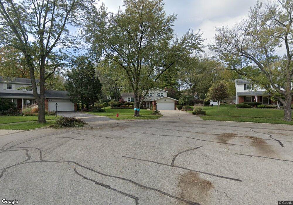
717 Maple Ln Darien, IL 60561
Estimated Value: $402,254 - $480,000
3
Beds
2
Baths
1,128
Sq Ft
$400/Sq Ft
Est. Value
About This Home
This home is located at 717 Maple Ln, Darien, IL 60561 and is currently estimated at $450,814, approximately $399 per square foot. 717 Maple Ln is a home located in DuPage County with nearby schools including Mark Delay School, Lace Elementary School, and Eisenhower Jr High School.
Ownership History
Date
Name
Owned For
Owner Type
Purchase Details
Closed on
Jul 31, 2003
Sold by
Knutte Joseph D and Knutte Clara K
Bought by
Madsen James W
Current Estimated Value
Home Financials for this Owner
Home Financials are based on the most recent Mortgage that was taken out on this home.
Original Mortgage
$200,000
Outstanding Balance
$86,017
Interest Rate
5.3%
Mortgage Type
Purchase Money Mortgage
Estimated Equity
$364,797
Purchase Details
Closed on
May 20, 1999
Sold by
Cosmopolitan Bank & Trust
Bought by
Knutte Joseph D
Home Financials for this Owner
Home Financials are based on the most recent Mortgage that was taken out on this home.
Original Mortgage
$171,000
Interest Rate
6.94%
Create a Home Valuation Report for This Property
The Home Valuation Report is an in-depth analysis detailing your home's value as well as a comparison with similar homes in the area
Home Values in the Area
Average Home Value in this Area
Purchase History
| Date | Buyer | Sale Price | Title Company |
|---|---|---|---|
| Madsen James W | $250,000 | Chicago Title Insurance Comp | |
| Knutte Joseph D | $191,000 | -- |
Source: Public Records
Mortgage History
| Date | Status | Borrower | Loan Amount |
|---|---|---|---|
| Open | Madsen James W | $200,000 | |
| Previous Owner | Knutte Joseph D | $171,000 |
Source: Public Records
Tax History
| Year | Tax Paid | Tax Assessment Tax Assessment Total Assessment is a certain percentage of the fair market value that is determined by local assessors to be the total taxable value of land and additions on the property. | Land | Improvement |
|---|---|---|---|---|
| 2024 | $7,067 | $117,689 | $47,515 | $70,174 |
| 2023 | $6,800 | $108,190 | $43,680 | $64,510 |
| 2022 | $6,693 | $105,980 | $42,790 | $63,190 |
| 2021 | $6,438 | $104,770 | $42,300 | $62,470 |
| 2020 | $6,350 | $102,690 | $41,460 | $61,230 |
| 2019 | $6,136 | $98,530 | $39,780 | $58,750 |
| 2018 | $5,790 | $94,020 | $39,560 | $54,460 |
| 2017 | $5,732 | $90,480 | $38,070 | $52,410 |
| 2016 | $5,580 | $86,350 | $36,330 | $50,020 |
| 2015 | $5,497 | $81,240 | $34,180 | $47,060 |
| 2014 | $5,217 | $76,400 | $33,230 | $43,170 |
| 2013 | $5,043 | $76,040 | $33,070 | $42,970 |
Source: Public Records
Map
Nearby Homes
- 401 69th St
- 6925 Clarendon Hills Rd
- 1013 Torrey Pines Ct
- 1156 Bristlecone Ct
- 18W089 Claremont Dr
- 6136 Bentley Ave
- 7525 Nantucket Dr Unit 210
- 7209 Grant St
- 18W025 73rd St
- 321 Janet Ave
- 6648 Weather Hill Dr
- 318 Arabian Cir
- 7700 Apple Tree Ln
- 301 Lake Hinsdale Dr Unit 108
- 301 Lake Hinsdale Dr Unit 404
- 7706 Warwick Ave
- 1543 Apple Grove Ln
- 6503 Clarendon Hills Rd
- 1224 Ridge Rd
- 7713 Brookhaven Ave
Your Personal Tour Guide
Ask me questions while you tour the home.