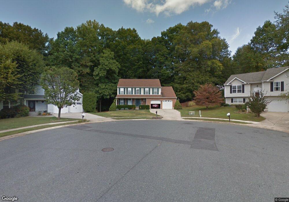
717 Ruddy Ct Havre de Grace, MD 21078
Estimated Value: $444,128 - $507,000
--
Bed
3
Baths
2,258
Sq Ft
$211/Sq Ft
Est. Value
About This Home
This home is located at 717 Ruddy Ct, Havre de Grace, MD 21078 and is currently estimated at $477,532, approximately $211 per square foot. 717 Ruddy Ct is a home located in Harford County with nearby schools including Meadowvale Elementary School, Havre de Grace Middle School, and Havre de Grace High School.
Ownership History
Date
Name
Owned For
Owner Type
Purchase Details
Closed on
Jul 28, 1992
Sold by
Equity Homes Inc
Bought by
Allen Michael S and Allen Andrea Grason
Current Estimated Value
Home Financials for this Owner
Home Financials are based on the most recent Mortgage that was taken out on this home.
Original Mortgage
$115,950
Interest Rate
8.08%
Purchase Details
Closed on
Dec 3, 1991
Sold by
Grace Harbour Limited Partnership
Bought by
Equity Homes Inc
Create a Home Valuation Report for This Property
The Home Valuation Report is an in-depth analysis detailing your home's value as well as a comparison with similar homes in the area
Home Values in the Area
Average Home Value in this Area
Purchase History
| Date | Buyer | Sale Price | Title Company |
|---|---|---|---|
| Allen Michael S | $136,400 | -- | |
| Equity Homes Inc | $18,000 | -- |
Source: Public Records
Mortgage History
| Date | Status | Borrower | Loan Amount |
|---|---|---|---|
| Closed | Allen Michael S | $115,950 |
Source: Public Records
Tax History Compared to Growth
Tax History
| Year | Tax Paid | Tax Assessment Tax Assessment Total Assessment is a certain percentage of the fair market value that is determined by local assessors to be the total taxable value of land and additions on the property. | Land | Improvement |
|---|---|---|---|---|
| 2025 | $1,127 | $356,233 | $0 | $0 |
| 2024 | $1,127 | $333,600 | $90,600 | $243,000 |
| 2023 | $1,110 | $317,333 | $0 | $0 |
| 2022 | $821 | $301,067 | $0 | $0 |
| 2021 | $2,844 | $284,800 | $90,600 | $194,200 |
| 2020 | $2,844 | $282,800 | $0 | $0 |
| 2019 | $2,824 | $280,800 | $0 | $0 |
| 2018 | $2,779 | $278,800 | $94,300 | $184,500 |
| 2017 | $2,710 | $278,800 | $0 | $0 |
| 2016 | -- | $264,867 | $0 | $0 |
| 2015 | $2,609 | $257,900 | $0 | $0 |
| 2014 | $2,609 | $257,900 | $0 | $0 |
Source: Public Records
Map
Nearby Homes
- 102 Tidewater Dr
- 101 Susquehanna Ct
- 122 Gracecroft Dr
- 400 Brant Ct
- 1303 Ontario St
- 1506 Bayview Dr
- 1227 Ontario Extension St
- 2023 Lori Ln
- 1308 Lewis Ln
- 2009 Lori Ln
- Somerset II - Bulle Rock Plan at Bulle Rock - Single Family
- Somerset Plan at Bulle Rock - Single Family
- Patton Plan at Bulle Rock - Single Family
- Franklin Plan at Bulle Rock - Single Family
- Chartwell Plan at Bulle Rock - Single Family
- Augusta Plan at Bulle Rock - Single Family
- Hampton II Plan at Bulle Rock - Single Family
- Alexander II Plan at Bulle Rock - Single Family
- Andrews Plan at Bulle Rock - Single Family
- 1313 Lewis Ln