717 Tortoise Ridge Unit (Lot 95) Brandon, MS 39047
Estimated Value: $305,000 - $321,000
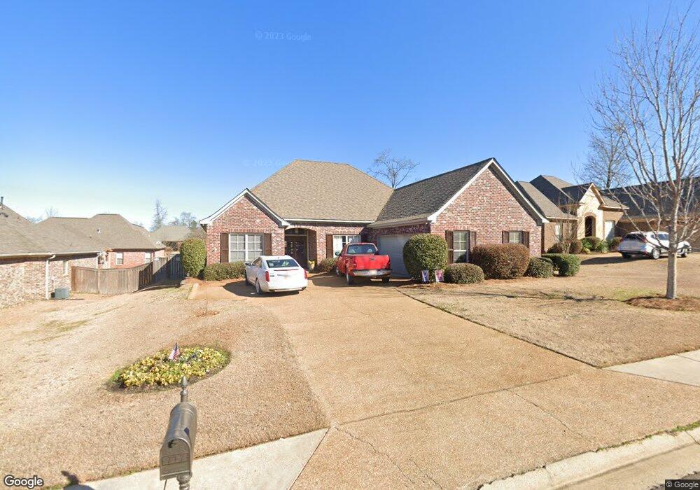
About This Home
This home is located at 717 Tortoise Ridge Unit (Lot 95), Brandon, MS 39047 and is currently estimated at $311,151, approximately $140 per square foot. 717 Tortoise Ridge Unit (Lot 95) is a home located in Rankin County with nearby schools including Highland Bluff Elementary School, Northwest Rankin Middle School, and Northwest Rankin High School.
Ownership History
Purchase Details
Purchase Details
Home Financials for this Owner
Home Financials are based on the most recent Mortgage that was taken out on this home.Purchase History
We collect this data history from publicly available records. To have your information removed, we recommend requesting removal directly through your county’s website.
| Date | Buyer | Sale Price | Title Company |
|---|---|---|---|
| Redden Donald E | -- | None Available | |
| Northshore Llc | -- | None Available |
Mortgage History
We collect this data history from publicly available records. To have your information removed, we recommend requesting removal directly through your county’s website.
| Date | Status | Borrower | Loan Amount |
|---|---|---|---|
| Previous Owner | Northshore Llc | $174,447 |
Tax History
| Year | Tax Paid | Tax Assessment Tax Assessment Total Assessment is a certain percentage of the fair market value that is determined by local assessors to be the total taxable value of land and additions on the property. | Land | Improvement |
|---|---|---|---|---|
| 2025 | $2,216 | $22,162 | $0 | $0 |
| 2024 | $2,087 | $22,162 | $0 | $0 |
| 2023 | $1,901 | $21,665 | $0 | $0 |
| 2022 | $1,879 | $21,665 | $0 | $0 |
| 2021 | $1,929 | $21,665 | $0 | $0 |
| 2020 | $3,901 | $32,498 | $0 | $0 |
| 2019 | $2,253 | $19,296 | $0 | $0 |
| 2018 | $2,229 | $19,296 | $0 | $0 |
| 2017 | $2,251 | $19,296 | $0 | $0 |
| 2016 | $2,097 | $18,728 | $0 | $0 |
| 2015 | $2,097 | $18,728 | $0 | $0 |
| 2014 | $2,057 | $18,728 | $0 | $0 |
| 2013 | -- | $18,728 | $0 | $0 |
Map
- 314 Turtle Hollow
- 101 Brandy Run Rd
- 115 Diamondback Ln
- 109 Brandy Run Rd
- 539 Turtle Ln
- 141 Plum Tree Rd
- 125 Brandy Run Rd
- 206 Huntington Hollow
- 121 Bellegrove Cir
- 242 Huntington Hollow
- 131 Bellegrove Cir
- 238 Huntington Hollow
- 302 Pinecone Cove
- 300 Deer Hollow
- 136 Plum Tree Rd
- 451 Abbey Woods
- 735 Cotton Creek Trail
- 154 Cumberland Rd
- 148 W Pinebrook Dr
- 317 Hamilton Ct
- 717 Tortoise Ridge
- 719 Tortoise Ridge
- 715 Tortoise Ridge Dr
- 120 Turtle Ridge Dr
- 122 Turtle Ridge Dr
- 122 Turtle Ridge Dr Unit (Lot 32)
- 118 Turtle Ridge Dr
- 118 Turtle Ridge Dr Unit (Lot 34)
- 721 Tortoise Ridge
- 713 Tortoise Ridge
- 713 Tortoise Ridge
- 713 Tortoise Ridge Unit DR
- 713 Tortoise Ridge Dr
- 714 Tortoise Ridge
- 714 Tortoise Ridge Unit (lot150)
- 716 Tortoise Ridge
- 124 Turtle Ridge Dr
- 124 Turtle Ridge Dr Unit Lot 31
- 116 Turtle Ridge Dr
- 712 Tortoise Ridge
Ask me questions while you tour the home.