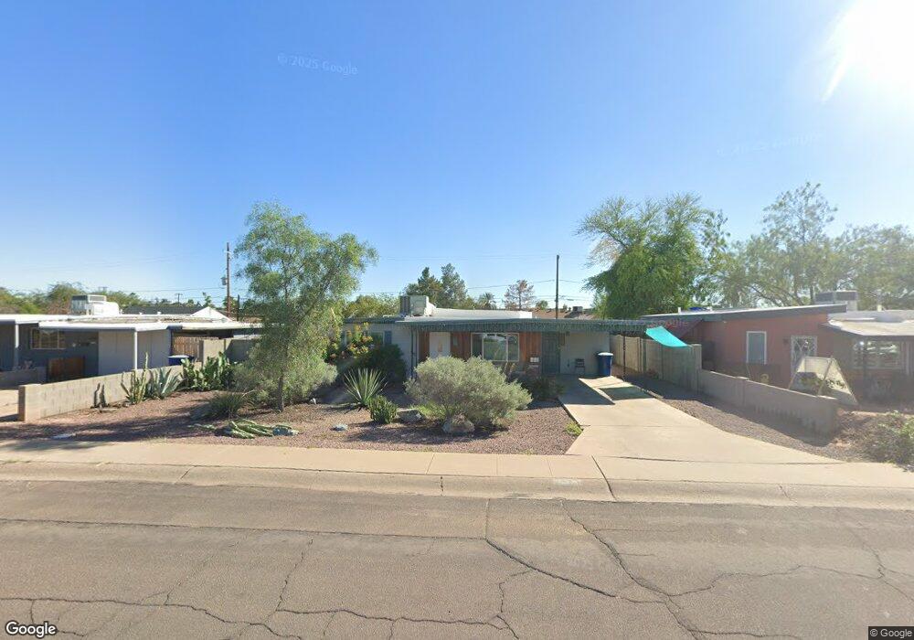
717 W 12th St Tempe, AZ 85281
Mitchell Park West NeighborhoodEstimated Value: $397,997 - $428,000
4
Beds
1
Bath
1,272
Sq Ft
$325/Sq Ft
Est. Value
About This Home
This home is located at 717 W 12th St, Tempe, AZ 85281 and is currently estimated at $413,999, approximately $325 per square foot. 717 W 12th St is a home located in Maricopa County with nearby schools including Geneva Epps Mosley Middle School, Tempe High School, and New School for the Arts & Academics.
Ownership History
Date
Name
Owned For
Owner Type
Purchase Details
Closed on
May 18, 2017
Sold by
Silagi Joseph J and Silagi Sanrda L
Bought by
Frazer Robert A and Frazer Emily J
Current Estimated Value
Home Financials for this Owner
Home Financials are based on the most recent Mortgage that was taken out on this home.
Original Mortgage
$200,450
Outstanding Balance
$166,699
Interest Rate
4.1%
Mortgage Type
New Conventional
Estimated Equity
$247,300
Create a Home Valuation Report for This Property
The Home Valuation Report is an in-depth analysis detailing your home's value as well as a comparison with similar homes in the area
Home Values in the Area
Average Home Value in this Area
Purchase History
| Date | Buyer | Sale Price | Title Company |
|---|---|---|---|
| Frazer Robert A | $211,000 | First American Title Company |
Source: Public Records
Mortgage History
| Date | Status | Borrower | Loan Amount |
|---|---|---|---|
| Open | Frazer Robert A | $200,450 |
Source: Public Records
Tax History Compared to Growth
Tax History
| Year | Tax Paid | Tax Assessment Tax Assessment Total Assessment is a certain percentage of the fair market value that is determined by local assessors to be the total taxable value of land and additions on the property. | Land | Improvement |
|---|---|---|---|---|
| 2025 | $1,685 | $16,163 | -- | -- |
| 2024 | $1,546 | $15,393 | -- | -- |
| 2023 | $1,546 | $34,410 | $6,880 | $27,530 |
| 2022 | $1,477 | $25,380 | $5,070 | $20,310 |
| 2021 | $1,506 | $23,800 | $4,760 | $19,040 |
| 2020 | $1,456 | $21,270 | $4,250 | $17,020 |
| 2019 | $1,428 | $19,820 | $3,960 | $15,860 |
| 2018 | $1,389 | $17,420 | $3,480 | $13,940 |
| 2017 | $1,346 | $15,810 | $3,160 | $12,650 |
| 2016 | $1,544 | $14,950 | $2,990 | $11,960 |
| 2015 | $1,483 | $13,900 | $2,780 | $11,120 |
Source: Public Records
Map
Nearby Homes
- 620 W Howe St
- 538 W 13th St
- 538 W 13th St Unit A
- 522 W Howe St
- 531 W 14th St
- 919 W Parkway Blvd
- 542 W 15th St
- 601 W 15th St
- 901 W 16th St
- 535 W 15th St
- 1218 S Farmer Ave
- 1234 S Farmer Ave
- 1101 S Farmer Ave
- 1711 S Hardy Dr
- 1718 S Marilyn Ann Dr
- 700 W University Dr Unit 122
- 700 W University Dr Unit 253
- 63 W 13th St Unit 63 & 69
- 1111 W University Dr Unit 3012
- 1111 W University Dr Unit 2026
- 721 W 12th St
- 725 W 12th St
- 709 W 12th St
- 718 W 12th Place
- 714 W 12th Place
- 722 W 12th Place
- 710 W 12th Place
- 716 W 12th St
- 720 W 12th St
- 712 W 12th St
- 801 W 12th St
- 705 W 12th St
- 724 W 12th St
- 726 W 12th Place
- 706 W 12th Place
- 708 W 12th St
- 800 W 12th St
- 805 W 12th St
- 701 W 12th St
- 713 W 12th Place