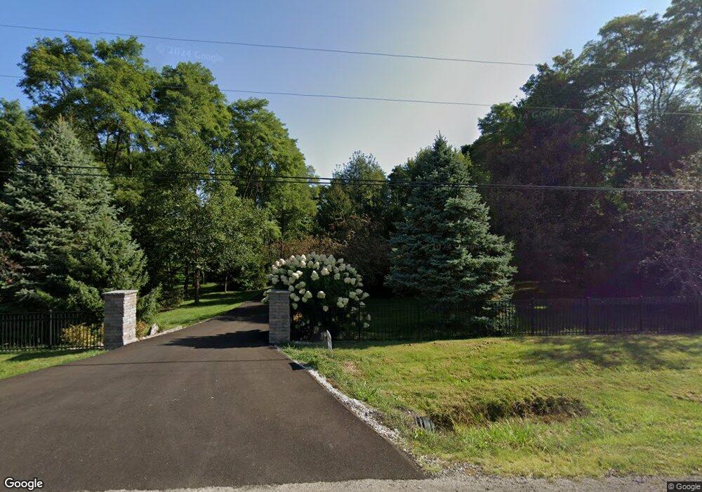
7170 Brandt Rd Carroll, OH 43112
Bloom NeighborhoodEstimated Value: $670,000 - $787,000
4
Beds
3
Baths
2,934
Sq Ft
$247/Sq Ft
Est. Value
About This Home
This home is located at 7170 Brandt Rd, Carroll, OH 43112 and is currently estimated at $724,606, approximately $246 per square foot. 7170 Brandt Rd is a home located in Fairfield County with nearby schools including Bloom Carroll Primary School, Bloom Carroll Intermediate School, and Bloom-Carroll Middle School.
Ownership History
Date
Name
Owned For
Owner Type
Purchase Details
Closed on
Aug 3, 2016
Sold by
Rickards Brigitte E
Bought by
Rickards Brigitte E and Lowell D Rickards Revocable Trust
Current Estimated Value
Purchase Details
Closed on
Jun 13, 2005
Sold by
Rickards Brigitte E
Bought by
Rickards Lowell D and Rickards Brigitte E
Home Financials for this Owner
Home Financials are based on the most recent Mortgage that was taken out on this home.
Original Mortgage
$80,000
Outstanding Balance
$41,738
Interest Rate
5.75%
Mortgage Type
Credit Line Revolving
Estimated Equity
$682,868
Purchase Details
Closed on
Aug 26, 2004
Sold by
Meadows Steve and Meadows Joanne
Bought by
The Brigitte E Rickards Revocable Trust and Rickards Brigitte E
Create a Home Valuation Report for This Property
The Home Valuation Report is an in-depth analysis detailing your home's value as well as a comparison with similar homes in the area
Home Values in the Area
Average Home Value in this Area
Purchase History
| Date | Buyer | Sale Price | Title Company |
|---|---|---|---|
| Rickards Brigitte E | -- | None Available | |
| Rickards Lowell D | -- | -- | |
| The Brigitte E Rickards Revocable Trust | $60,000 | -- | |
| Meadows Steve | $60,000 | -- |
Source: Public Records
Mortgage History
| Date | Status | Borrower | Loan Amount |
|---|---|---|---|
| Open | Rickards Lowell D | $80,000 |
Source: Public Records
Tax History Compared to Growth
Tax History
| Year | Tax Paid | Tax Assessment Tax Assessment Total Assessment is a certain percentage of the fair market value that is determined by local assessors to be the total taxable value of land and additions on the property. | Land | Improvement |
|---|---|---|---|---|
| 2024 | $17,802 | $216,040 | $33,560 | $182,480 |
| 2023 | $8,774 | $216,040 | $33,560 | $182,480 |
| 2022 | $8,860 | $216,040 | $33,560 | $182,480 |
| 2021 | $6,906 | $154,740 | $26,850 | $127,890 |
| 2020 | $6,981 | $154,740 | $26,850 | $127,890 |
| 2019 | $7,003 | $154,740 | $26,850 | $127,890 |
| 2018 | $5,690 | $129,820 | $22,550 | $107,270 |
| 2017 | $5,363 | $128,750 | $21,480 | $107,270 |
| 2016 | $4,855 | $123,780 | $21,480 | $102,300 |
| 2015 | $4,579 | $110,090 | $16,970 | $93,120 |
| 2014 | $4,393 | $110,090 | $16,970 | $93,120 |
| 2013 | $4,393 | $110,090 | $16,970 | $93,120 |
Source: Public Records
Map
Nearby Homes
- 4180 Stone Hill Drive East NW
- 6920 Winchester Rd NW
- 4900 Pickerington Rd NW
- 8322 Benson Rd
- 62 Oberle Ave
- 2155 Carroll-Southern Rd NW
- 52 W Canal St
- 7985 Lithopolis Rd NW
- 5341 Carnes Rd
- 5560 Amanda Northern Rd NW
- 1975 Lamb Rd NW
- 5311 Mason Rd NW
- 4656 Meadow Grove Dr NW
- 7234 Pickerington Rd
- 3738 Arrowhead Dr NW
- 5726 Bish Rd
- 7936 Allen Rd
- 7190 Amanda Northern Rd NW
- 839 Rockmill Rd NW
- 10385 Lithopolis Rd NW
- 7122 Brandt Rd
- 7140 Brandt Rd
- 7218 Brandt Rd
- 7100 Brandt Rd
- 7165 Brandt Rd
- 6814 Brandt Rd Unit Lot 17
- 6814 Brandt Rd Unit Lot 16
- 6814 Brandt Rd Unit Lot 15
- 6814 Brandt Rd Unit Lot 14
- 6814 Brandt Rd Unit Lot 13
- 6814 Brandt Rd Unit Lot 12
- 6814 Brandt Rd Unit Lot 11
- 6814 Brandt Rd Unit Lot 10
- 6814 Brandt Rd Unit Lot 7
- 6814 Brandt Rd Unit Lot 3
- 6814 Brandt Rd Unit Lot 2
- 6814 Brandt Rd Unit Lot 1
- 7238 Brandt Rd
- 7072 Brandt Rd
- 7235 Brandt Rd NW