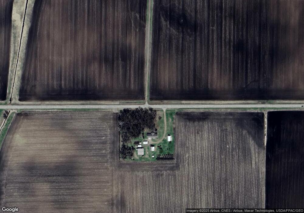
71797 390th St Saint James, MN 56081
Estimated Value: $309,000 - $467,769
4
Beds
2
Baths
1,746
Sq Ft
$222/Sq Ft
Est. Value
About This Home
This home is located at 71797 390th St, Saint James, MN 56081 and is currently estimated at $388,385, approximately $222 per square foot. 71797 390th St is a home located in Watonwan County with nearby schools including Armstrong School, Northside Elementary School, and St. James High School.
Create a Home Valuation Report for This Property
The Home Valuation Report is an in-depth analysis detailing your home's value as well as a comparison with similar homes in the area
Home Values in the Area
Average Home Value in this Area
Tax History Compared to Growth
Tax History
| Year | Tax Paid | Tax Assessment Tax Assessment Total Assessment is a certain percentage of the fair market value that is determined by local assessors to be the total taxable value of land and additions on the property. | Land | Improvement |
|---|---|---|---|---|
| 2025 | $4,212 | $413,300 | $114,300 | $299,000 |
| 2024 | $4,120 | $437,000 | $119,300 | $317,700 |
| 2023 | $4,158 | $438,000 | $118,900 | $319,100 |
| 2022 | $4,030 | $371,600 | $118,900 | $252,700 |
| 2021 | $4,012 | $299,700 | $92,600 | $207,100 |
| 2020 | $3,964 | $308,700 | $92,400 | $216,300 |
| 2019 | $3,824 | $310,400 | $92,500 | $217,900 |
| 2018 | $3,684 | $282,700 | $85,600 | $197,100 |
| 2016 | $3,356 | $266,000 | $85,600 | $180,400 |
| 2014 | -- | $246,000 | $60,600 | $185,400 |
Source: Public Records
Map
Nearby Homes
- 0 Parcel Id Unit 5.510.0060 7037955
- 0 Parcel Id Unit 5.510.0050 7037954
- 0 Parcel Id Unit 5.510.0040 7037953
- 0 Parcel Id# 05 510 0020 Unit 7037952
- 0 Parcel Id# 05 510 0010 Unit 7037951
- 69193 69193 380th St
- 69193 380th St
- 37204 737th Ave
- 35726 710th Ave
- 74194 415th St
- 1023 Armstrong Blvd S
- 200 200 S 10th Ave
- 1007 5th St S
- 914 914 S 3rd St
- 1000 1000 S 9th St
- 702 9th Ave S
- 909 909 S 8th St
- 702 702 S 9th Ave Unit 702 9th Ave S
- 915 915 S 10th St
- 902 11th St S