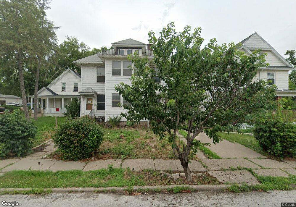
718 E 15th St Davenport, IA 52803
Central Davenport NeighborhoodEstimated Value: $134,000 - $141,900
4
Beds
2
Baths
3,335
Sq Ft
$41/Sq Ft
Est. Value
About This Home
This home is located at 718 E 15th St, Davenport, IA 52803 and is currently estimated at $137,725, approximately $41 per square foot. 718 E 15th St is a home located in Scott County with nearby schools including Crofton Elementary School, Casey County Middle School, and Hopkinsville Middle School.
Ownership History
Date
Name
Owned For
Owner Type
Purchase Details
Closed on
Jan 23, 2025
Sold by
Bank Of New York and Alternative Loan Trust
Bought by
Qc Real Rentals Llc
Current Estimated Value
Purchase Details
Closed on
Oct 8, 2024
Sold by
Sheriff Of Scott County
Bought by
Cwalt Inc Alternative Loan Trust and Bank Of New York Mellon
Create a Home Valuation Report for This Property
The Home Valuation Report is an in-depth analysis detailing your home's value as well as a comparison with similar homes in the area
Home Values in the Area
Average Home Value in this Area
Purchase History
| Date | Buyer | Sale Price | Title Company |
|---|---|---|---|
| Qc Real Rentals Llc | -- | None Listed On Document | |
| Cwalt Inc Alternative Loan Trust | $63,146 | None Listed On Document |
Source: Public Records
Tax History Compared to Growth
Tax History
| Year | Tax Paid | Tax Assessment Tax Assessment Total Assessment is a certain percentage of the fair market value that is determined by local assessors to be the total taxable value of land and additions on the property. | Land | Improvement |
|---|---|---|---|---|
| 2025 | $1,428 | $110,350 | $17,190 | $93,160 |
| 2024 | $1,386 | $98,520 | $17,190 | $81,330 |
| 2023 | $2,137 | $98,520 | $17,190 | $81,330 |
| 2022 | $2,040 | $92,280 | $9,330 | $82,950 |
| 2021 | $1,630 | $88,330 | $9,330 | $79,000 |
| 2020 | $1,742 | $84,380 | $9,330 | $75,050 |
| 2019 | $1,948 | $60,350 | $9,330 | $51,020 |
| 2018 | $1,802 | $60,350 | $9,330 | $51,020 |
| 2017 | $1,910 | $60,350 | $9,330 | $51,020 |
| 2016 | $1,387 | $57,660 | $0 | $0 |
| 2015 | $998 | $59,420 | $0 | $0 |
| 2014 | $1,052 | $42,870 | $0 | $0 |
| 2013 | $666 | $0 | $0 | $0 |
| 2012 | -- | $69,650 | $9,690 | $59,960 |
Source: Public Records
Map
Nearby Homes
- 637 E 15th St
- 1605 Arlington Ave
- 916 Kirkwood Blvd
- 618 Douglas Ct
- 511 Kirkwood Blvd
- 1020 E 15th St
- 1215 Farnam St
- 420 Kirkwood Blvd
- 11 Oak Ln
- 409 E 14th St
- 1134 Tremont Ave
- 407 E 14th St
- 325 Kirkwood Blvd
- 320 E 14th St
- 1920 Carey Ave
- 1501 Bridge Ave
- 625 E High St
- 2024 Farnam St
- 230 Kirkwood Blvd
- 2034 Farnam St
- 712 E 15th St
- 720 E 15th St
- 710 E 15th St
- 802 E 15th St
- 1505 Grand Ave
- 804 E 15th St
- 719 Kirkwood Blvd
- 725 Kirkwood Blvd
- 727 Kirkwood Blvd
- 729 Kirkwood Blvd
- 808 E 15th St
- 707 Kirkwood Blvd
- 801 Kirkwood Blvd
- 715 E 15th St
- 719 E 15th St
- 1425 Grand Ave Unit 1
- 812 E 15th St
- 709 E 15th St
- 725 E 15th St
- 805 Kirkwood Blvd