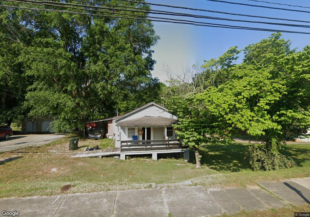
718 Mize Rd Toccoa, GA 30577
Estimated Value: $31,101 - $182,000
2
Beds
2
Baths
912
Sq Ft
$142/Sq Ft
Est. Value
About This Home
This home is located at 718 Mize Rd, Toccoa, GA 30577 and is currently estimated at $129,275, approximately $141 per square foot. 718 Mize Rd is a home located in Stephens County with nearby schools including Stephens County High School.
Ownership History
Date
Name
Owned For
Owner Type
Purchase Details
Closed on
Jan 23, 2018
Sold by
Barron Dennis
Bought by
Jtre Llc
Current Estimated Value
Home Financials for this Owner
Home Financials are based on the most recent Mortgage that was taken out on this home.
Original Mortgage
$16,000
Interest Rate
3.99%
Mortgage Type
New Conventional
Purchase Details
Closed on
Aug 25, 2017
Sold by
Shook Christopher Dewey
Bought by
Barron Dennis
Purchase Details
Closed on
Jun 8, 2015
Sold by
Segers Kathryn Sheriff
Bought by
Shook Christopher Dewey
Purchase Details
Closed on
May 26, 2015
Sold by
Fairy Sheriff Mabel
Bought by
Segers Kathryn Sheriff
Purchase Details
Closed on
Mar 23, 2004
Bought by
Sheriff Fairy C/O Kathryn S Segers
Purchase Details
Closed on
Jul 1, 1999
Bought by
<Buyer Info Not Present>
Purchase Details
Closed on
Jan 1, 1996
Bought by
<Buyer Info Not Present>
Purchase Details
Closed on
Oct 1, 1991
Bought by
<Buyer Info Not Present>
Create a Home Valuation Report for This Property
The Home Valuation Report is an in-depth analysis detailing your home's value as well as a comparison with similar homes in the area
Purchase History
| Date | Buyer | Sale Price | Title Company |
|---|---|---|---|
| Jtre Llc | $16,000 | -- | |
| Barron Dennis | $12,000 | -- | |
| Shook Christopher Dewey | -- | -- | |
| Segers Kathryn Sheriff | -- | -- | |
| Sheriff Fairy C/O Kathryn S Segers | $34,000 | -- | |
| <Buyer Info Not Present> | $30,000 | -- | |
| <Buyer Info Not Present> | $32,000 | -- | |
| <Buyer Info Not Present> | $24,000 | -- |
Source: Public Records
Mortgage History
| Date | Status | Borrower | Loan Amount |
|---|---|---|---|
| Closed | Jtre Llc | $16,000 |
Source: Public Records
Tax History Compared to Growth
Tax History
| Year | Tax Paid | Tax Assessment Tax Assessment Total Assessment is a certain percentage of the fair market value that is determined by local assessors to be the total taxable value of land and additions on the property. | Land | Improvement |
|---|---|---|---|---|
| 2025 | $693 | $23,343 | $776 | $22,567 |
| 2024 | $552 | $15,488 | $776 | $14,712 |
| 2023 | $509 | $14,380 | $776 | $13,604 |
| 2022 | $350 | $11,765 | $776 | $10,989 |
| 2021 | $340 | $10,876 | $776 | $10,100 |
| 2020 | $337 | $10,660 | $776 | $9,884 |
| 2019 | $203 | $10,660 | $776 | $9,884 |
| 2018 | $152 | $10,660 | $776 | $9,884 |
| 2017 | $387 | $12,008 | $776 | $11,232 |
| 2016 | $381 | $12,008 | $776 | $11,232 |
| 2015 | $397 | $11,957 | $776 | $11,181 |
| 2014 | -- | $12,216 | $776 | $11,440 |
| 2013 | -- | $12,216 | $776 | $11,440 |
Source: Public Records
Map
Nearby Homes
- 97 Hillside Dr
- 1387 Mize Rd
- 1037 S Pond St
- 943 S Pond St
- 383 Fieldale Rd
- 372 Hilltop Way
- 398 Valley Dr
- 0 Valley Dr Unit 7675761
- 0 Valley Dr Unit 10600268
- 294 Stancil Dr
- 93 College St
- 537 Jordan Rd
- 574 S Sage St
- 229 Hilltop Ln
- 189 Julia Ln
- 500 S Pond St
- 9 Poplar St
- 0 Stephen Dr Unit 10662201
- 132 Queen St
- 128 Branch St