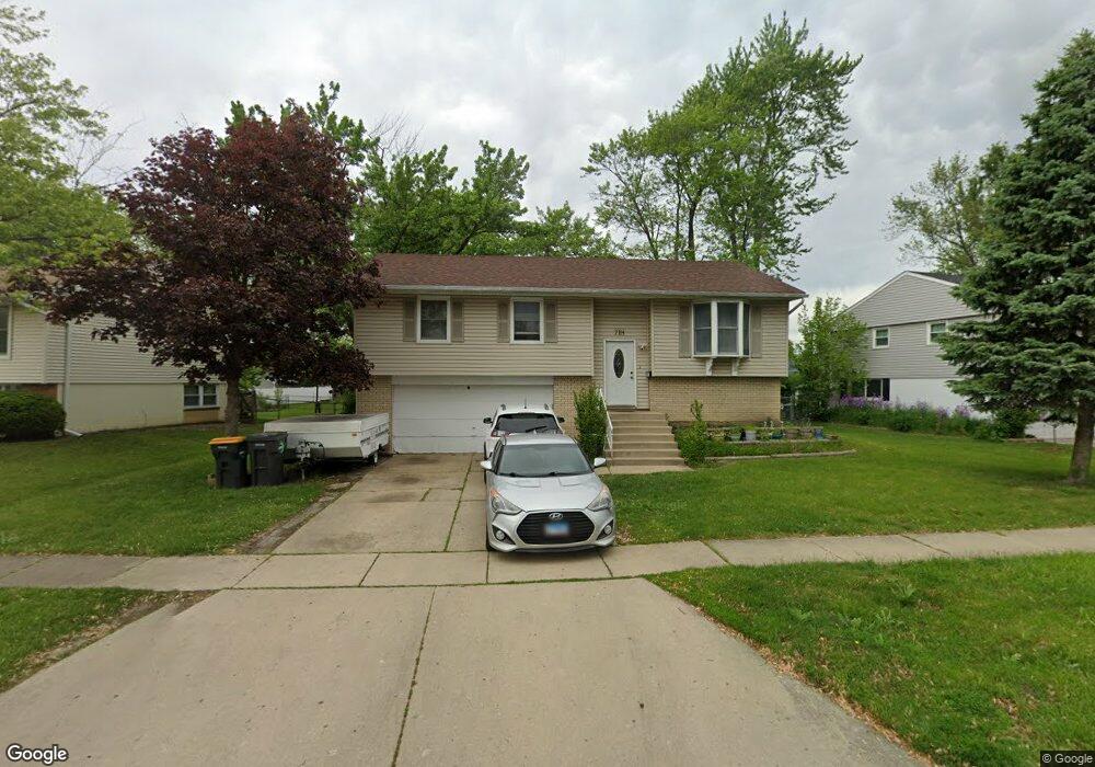
718 Ridge Cir Unit 6 Streamwood, IL 60107
Woodland Heights NeighborhoodEstimated Value: $264,000 - $324,000
4
Beds
2
Baths
1,139
Sq Ft
$269/Sq Ft
Est. Value
About This Home
This home is located at 718 Ridge Cir Unit 6, Streamwood, IL 60107 and is currently estimated at $306,337, approximately $268 per square foot. 718 Ridge Cir Unit 6 is a home located in Cook County with nearby schools including Sunnydale Elementary School, Tefft Middle School, and Streamwood High School.
Ownership History
Date
Name
Owned For
Owner Type
Purchase Details
Closed on
Feb 11, 2011
Sold by
Chang Arnold and Cartagena Michelle
Bought by
Perez Rafael and Valenzuela Luz
Current Estimated Value
Purchase Details
Closed on
Jun 30, 2004
Sold by
Umlor Steven T and Umlor Josefina
Bought by
Chang Arnold and Cartagena Michelle
Home Financials for this Owner
Home Financials are based on the most recent Mortgage that was taken out on this home.
Original Mortgage
$205,105
Interest Rate
7.05%
Mortgage Type
Unknown
Purchase Details
Closed on
Jul 26, 1996
Sold by
Nelson Randall C and Nelson Janet L
Bought by
Umlor Steven T and Umlor Josefina
Home Financials for this Owner
Home Financials are based on the most recent Mortgage that was taken out on this home.
Original Mortgage
$124,900
Interest Rate
8.33%
Create a Home Valuation Report for This Property
The Home Valuation Report is an in-depth analysis detailing your home's value as well as a comparison with similar homes in the area
Home Values in the Area
Average Home Value in this Area
Purchase History
| Date | Buyer | Sale Price | Title Company |
|---|---|---|---|
| Perez Rafael | $105,000 | Saturn Title | |
| Chang Arnold | $216,000 | Pntn | |
| Umlor Steven T | $133,000 | -- |
Source: Public Records
Mortgage History
| Date | Status | Borrower | Loan Amount |
|---|---|---|---|
| Previous Owner | Chang Arnold | $205,105 | |
| Previous Owner | Umlor Steven T | $124,900 |
Source: Public Records
Tax History
| Year | Tax Paid | Tax Assessment Tax Assessment Total Assessment is a certain percentage of the fair market value that is determined by local assessors to be the total taxable value of land and additions on the property. | Land | Improvement |
|---|---|---|---|---|
| 2025 | $6,371 | $29,000 | $6,974 | $22,026 |
| 2024 | $6,371 | $24,001 | $4,982 | $19,019 |
| 2023 | $6,173 | $24,001 | $4,982 | $19,019 |
| 2022 | $6,173 | $24,001 | $4,982 | $19,019 |
| 2021 | $5,207 | $17,573 | $3,487 | $14,086 |
| 2020 | $5,200 | $17,573 | $3,487 | $14,086 |
| 2019 | $5,214 | $19,746 | $3,487 | $16,259 |
| 2018 | $5,096 | $17,904 | $2,988 | $14,916 |
| 2017 | $5,046 | $17,904 | $2,988 | $14,916 |
| 2016 | $4,990 | $17,904 | $2,988 | $14,916 |
| 2015 | $4,996 | $16,709 | $2,739 | $13,970 |
| 2014 | $5,837 | $16,709 | $2,739 | $13,970 |
| 2013 | $5,656 | $16,709 | $2,739 | $13,970 |
Source: Public Records
Map
Nearby Homes
Your Personal Tour Guide
Ask me questions while you tour the home.