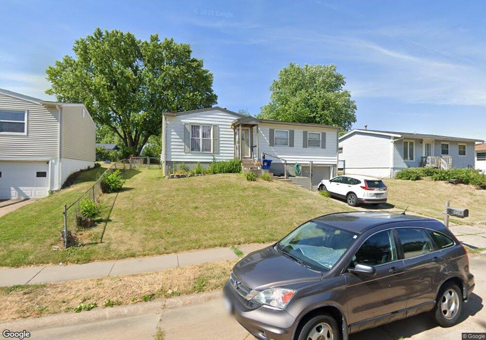
718 W 57th St Davenport, IA 52806
North Side NeighborhoodEstimated Value: $148,000 - $159,000
4
Beds
1
Bath
960
Sq Ft
$158/Sq Ft
Est. Value
About This Home
This home is located at 718 W 57th St, Davenport, IA 52806 and is currently estimated at $151,318, approximately $157 per square foot. 718 W 57th St is a home located in Scott County with nearby schools including Cumberland Hall School, Harrison Elementary School, and Academy Of Continuing Education.
Create a Home Valuation Report for This Property
The Home Valuation Report is an in-depth analysis detailing your home's value as well as a comparison with similar homes in the area
Home Values in the Area
Average Home Value in this Area
Tax History Compared to Growth
Tax History
| Year | Tax Paid | Tax Assessment Tax Assessment Total Assessment is a certain percentage of the fair market value that is determined by local assessors to be the total taxable value of land and additions on the property. | Land | Improvement |
|---|---|---|---|---|
| 2025 | $2,330 | $147,890 | $28,390 | $119,500 |
| 2024 | $2,092 | $130,400 | $28,390 | $102,010 |
| 2023 | $2,362 | $130,400 | $28,390 | $102,010 |
| 2022 | $2,370 | $119,440 | $20,650 | $98,790 |
| 2021 | $2,370 | $119,440 | $20,650 | $98,790 |
| 2020 | $2,186 | $109,400 | $20,650 | $88,750 |
| 2019 | $2,114 | $102,700 | $20,650 | $82,050 |
| 2018 | $2,008 | $102,700 | $20,650 | $82,050 |
| 2017 | $2,084 | $100,190 | $20,650 | $79,540 |
| 2016 | $2,004 | $100,190 | $0 | $0 |
| 2015 | $2,004 | $100,190 | $0 | $0 |
| 2014 | $2,032 | $100,190 | $0 | $0 |
| 2013 | $1,992 | $0 | $0 | $0 |
| 2012 | -- | $84,960 | $18,120 | $66,840 |
Source: Public Records
Map
Nearby Homes
- 1005 W 58th St
- 6015 Vine St
- 6112 Western Ave
- 1033 W 58th St
- 6205 N Ripley St
- 5804 Lillie Ave
- 655 W 64th St
- 665 W 64th St
- 671 W 64th St
- 6308 Appomattox Rd
- 6322 Appomattox Rd
- Lot 26 Benjamin Ct
- LOT 54 Franklin Ave
- Lot 56 Franklin Ave
- 5721 Taylor St
- 5735 Taylor St
- 4942 Brown St
- 6127 Fair Ave
- 6209 Fair Ave
- 825 Northbrook Dr