Estimated Value: $214,314 - $250,000
3
Beds
1
Bath
1,238
Sq Ft
$185/Sq Ft
Est. Value
About This Home
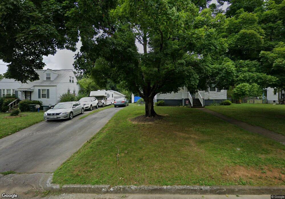
This home is located at 718 Yorkshire St, Salem, VA 24153 and is currently estimated at $229,579, approximately $185 per square foot. 718 Yorkshire St is a home located in Salem City with nearby schools including East Salem Elementary School, Andrew Lewis Middle School, and Salem High School.
Ownership History
Date
Name
Owned For
Owner Type
Purchase Details
Closed on
Jan 31, 2008
Sold by
Stacy John R and Stacy Constance E
Bought by
Stanley Wallace Jack and Stanley Sharon L
Current Estimated Value
Home Financials for this Owner
Home Financials are based on the most recent Mortgage that was taken out on this home.
Original Mortgage
$142,759
Outstanding Balance
$90,612
Interest Rate
6.18%
Mortgage Type
FHA
Estimated Equity
$138,967
Purchase Details
Closed on
Nov 16, 2006
Sold by
Adams Laurie S and Stacy Laurie A
Bought by
Stacy John R and Stacy Constance E
Create a Home Valuation Report for This Property
The Home Valuation Report is an in-depth analysis detailing your home's value as well as a comparison with similar homes in the area
Home Values in the Area
Average Home Value in this Area
Purchase History
| Date | Buyer | Sale Price | Title Company |
|---|---|---|---|
| Stanley Wallace Jack | $145,000 | Lawyers Title | |
| Stacy John R | $105,000 | None Available |
Source: Public Records
Mortgage History
| Date | Status | Borrower | Loan Amount |
|---|---|---|---|
| Open | Stanley Wallace Jack | $142,759 |
Source: Public Records
Tax History
| Year | Tax Paid | Tax Assessment Tax Assessment Total Assessment is a certain percentage of the fair market value that is determined by local assessors to be the total taxable value of land and additions on the property. | Land | Improvement |
|---|---|---|---|---|
| 2025 | $1,001 | $169,600 | $41,100 | $128,500 |
| 2024 | $952 | $158,700 | $39,300 | $119,400 |
| 2023 | $1,726 | $143,800 | $36,300 | $107,500 |
| 2022 | $1,540 | $128,300 | $31,500 | $96,800 |
| 2021 | $1,493 | $124,400 | $29,900 | $94,500 |
| 2020 | $1,469 | $122,400 | $29,900 | $92,500 |
| 2019 | $1,427 | $118,900 | $29,900 | $89,000 |
| 2018 | $1,394 | $118,100 | $29,900 | $88,200 |
| 2017 | $1,425 | $120,800 | $29,900 | $90,900 |
| 2016 | $1,425 | $120,800 | $29,900 | $90,900 |
| 2015 | $1,466 | $124,200 | $30,000 | $94,200 |
| 2014 | $1,466 | $124,200 | $30,000 | $94,200 |
Source: Public Records
Map
Nearby Homes
- 1114 Carolina Ave
- 303 Riverland Dr
- 1025 Fisher Ave
- 2409 S Clearing Rd
- 938 Roanoke Blvd
- 402 E 7th St
- 2503 Gatehouse Ln
- 2404 Post Oak Rd
- 234 Kimball Ave
- 709 Catawba Dr
- 2537 S Clearing Rd
- 137 Parker Ln
- 407 Kimball Ave
- 409 Kimball Ave
- 411 Kimball Ave
- 637 Catawba Dr
- 134 Parker Ln
- 130 Parker Ln
- 122 Parker Ln
- 726 Elizabeth Ave
- 712 Yorkshire St
- 724 Yorkshire St
- 706 Yorkshire St
- 732 Yorkshire St
- 717 Apperson Dr
- 713 Apperson Dr
- 723 Apperson Dr
- 702 Yorkshire St
- 717 Yorkshire St
- 802 Yorkshire St
- 713 Yorkshire St
- 711 Apperson Dr
- 1500 Manchester Dr Unit 1502
- 707 Yorkshire St
- 808 Yorkshire St
- 731 Yorkshire St
- 805 Apperson Dr Unit 4
- 805 Apperson Dr Unit 12
- 805 Apperson Dr Unit 7
- 805 Apperson Dr
Your Personal Tour Guide
Ask me questions while you tour the home.