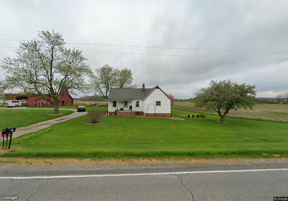
7180 S Duffield Rd Durand, MI 48429
Estimated Value: $274,277
Studio
--
Bath
1,152
Sq Ft
$238/Sq Ft
Est. Value
About This Home
This home is located at 7180 S Duffield Rd, Durand, MI 48429 and is currently estimated at $274,277, approximately $238 per square foot. 7180 S Duffield Rd is a home with nearby schools including Bertha Neal Elementary School, Robert Kerr School, and Durand Middle School.
Ownership History
Date
Name
Owned For
Owner Type
Purchase Details
Closed on
Mar 11, 2021
Sold by
Mclaren Janet L and Estate Of Ardis E Mclaren
Bought by
The Johnson Family Trust
Current Estimated Value
Home Financials for this Owner
Home Financials are based on the most recent Mortgage that was taken out on this home.
Original Mortgage
$166,384
Outstanding Balance
$149,227
Interest Rate
2.73%
Mortgage Type
Future Advance Clause Open End Mortgage
Estimated Equity
$125,050
Create a Home Valuation Report for This Property
The Home Valuation Report is an in-depth analysis detailing your home's value as well as a comparison with similar homes in the area
Home Values in the Area
Average Home Value in this Area
Purchase History
| Date | Buyer | Sale Price | Title Company |
|---|---|---|---|
| The Johnson Family Trust | $203,980 | Cislo Title Company |
Source: Public Records
Mortgage History
| Date | Status | Borrower | Loan Amount |
|---|---|---|---|
| Open | The Johnson Family Trust | $166,384 |
Source: Public Records
Tax History Compared to Growth
Tax History
| Year | Tax Paid | Tax Assessment Tax Assessment Total Assessment is a certain percentage of the fair market value that is determined by local assessors to be the total taxable value of land and additions on the property. | Land | Improvement |
|---|---|---|---|---|
| 2025 | $2,612 | $141,900 | $0 | $0 |
| 2024 | $758 | $133,900 | $0 | $0 |
| 2023 | $723 | $128,900 | $0 | $0 |
| 2022 | $2,225 | $115,300 | $0 | $0 |
| 2021 | $2,072 | $113,100 | $0 | $0 |
| 2020 | $661 | $113,500 | $0 | $0 |
| 2019 | $651 | $111,300 | $0 | $0 |
| 2018 | $1,859 | $104,700 | $0 | $0 |
| 2017 | $1,764 | $100,200 | $0 | $0 |
| 2016 | $1,794 | $100,200 | $0 | $0 |
| 2015 | $1,560 | $98,400 | $0 | $0 |
| 2014 | $600 | $94,400 | $0 | $0 |
| 2012 | -- | $88,700 | $88,700 | $0 |
Source: Public Records
Map
Nearby Homes
- 11508 Grand Blanc Rd
- 11637 E Lansing Rd
- 10529 Hill Rd
- 6209 S Byron Rd
- 8273 van Vleet Rd
- 5051 Nichols Rd
- 11065 E Goodall Rd
- 0 S New Lothrop Rd Unit 20251050266
- 6265 Hidden Forrest Dr
- 9774 E Lansing Rd
- 9215 W Grand Blanc Rd
- 9215 Grand Blanc Rd
- 4101 S Sheridan Rd
- 9312 Sue Ct
- 4144 Seymour Rd
- 301 N Fitch St
- 7283 Seymour Rd
- 7295 Seymour Rd
- 4014 S Duffield Rd
- 112 N Detroit St
- 7190 S Duffield Rd
- 7116 S Duffield Rd
- 7212 S Duffield Rd
- 7224 S Duffield Rd
- 7254 S Duffield Rd
- 12121 W Reid Rd
- 12091 W Reid Rd
- 12081 W Reid Rd
- 12140 W Reid Rd
- 12118 W Reid Rd
- 11489 Reid Rd
- 11489 Reid Rd
- 7318 S Duffield Rd
- 12100 W Reid Rd
- 0 W Reid Rd Unit 210027507
- 0 W Reid Rd
- 0 W Reid Rd Unit G20389888
- 0 W Reid Rd Unit G31178224
- 0 W Reid Rd Unit G31226591
- 0 W Reid Rd Unit 2286500