Estimated Value: $185,000 - $236,000
Studio
--
Bath
--
Sq Ft
8,233
Sq Ft Lot
About This Home
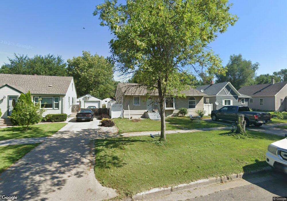
This home is located at 719 11th St SW, Huron, SD 57350 and is currently estimated at $210,294. 719 11th St SW is a home with nearby schools including Huron High School, Holy Trinity Catholic Elementary School, and James Valley Christian School.
Ownership History
Date
Name
Owned For
Owner Type
Purchase Details
Closed on
Mar 9, 2012
Sold by
Pfau Marc A and Pfau Jacqueline E
Bought by
Day Tu Naw and Day Thoo Thoomoo T
Current Estimated Value
Home Financials for this Owner
Home Financials are based on the most recent Mortgage that was taken out on this home.
Original Mortgage
$127,850
Outstanding Balance
$93,946
Interest Rate
3.88%
Mortgage Type
Farmers Home Administration
Estimated Equity
$116,348
Create a Home Valuation Report for This Property
The Home Valuation Report is an in-depth analysis detailing your home's value as well as a comparison with similar homes in the area
Home Values in the Area
Average Home Value in this Area
Purchase History
| Date | Buyer | Sale Price | Title Company |
|---|---|---|---|
| Day Tu Naw | $127,000 | -- |
Source: Public Records
Mortgage History
| Date | Status | Borrower | Loan Amount |
|---|---|---|---|
| Open | Day Tu Naw | $127,850 |
Source: Public Records
Tax History
| Year | Tax Paid | Tax Assessment Tax Assessment Total Assessment is a certain percentage of the fair market value that is determined by local assessors to be the total taxable value of land and additions on the property. | Land | Improvement |
|---|---|---|---|---|
| 2025 | $2,804 | $178,836 | $6,188 | $172,648 |
| 2024 | $2,754 | $170,615 | $6,188 | $164,427 |
| 2023 | $2,502 | $136,170 | $6,188 | $129,982 |
| 2022 | $2,533 | $136,170 | $6,188 | $129,982 |
| 2021 | $2,437 | $136,170 | $6,188 | $129,982 |
| 2020 | $2,470 | $132,209 | $6,188 | $126,021 |
| 2019 | $2,503 | $132,209 | $6,188 | $126,021 |
| 2018 | -- | $132,209 | $6,188 | $126,021 |
| 2017 | -- | $132,209 | $6,188 | $126,021 |
| 2016 | -- | $126,208 | $6,188 | $120,020 |
| 2015 | -- | $126,208 | $6,188 | $120,020 |
| 2014 | -- | $115,172 | $6,188 | $108,984 |
| 2013 | -- | $108,042 | $6,188 | $101,854 |
Source: Public Records
Map
Nearby Homes
- 740 Michigan Ave SW
- 545 Montana Ave SW
- 1472 Ohio Ave SW
- 678 Illinois Ave SW
- 963 Dakota Ave S
- 1023 Dakota Ave S
- 675 California Ave SW
- 540 18th St SW
- 0 S Dakota 37
- 854 Kansas Ave SE
- 132 7th St SE
- 551 Kansas Ave SE
- 1980 Meadowlark Ln Unit 302
- 1836 Illinois Ave SW
- 821 Idaho Ave SE
- 1729 Kansas Ave SE
- 1810 Kansas Ave
- 842 Utah Ave SE
- 931 Beach Ave SE
- 0 Lot 7 Blk 1 McDonald Dr
- 735 11th St SW
- 697 11th St SW
- 741 11th St SW
- 689 11th St SW
- 724 11th St SW
- 714 11th St SW
- 1120 Nevada Ave SW
- 696 11th St SW
- 679 11th St SW
- 730 10th St SW
- 771 11th St SW
- 700 10th St SW
- 669 11th St SW
- 1020 Nevada Ave SW
- 718 10th St SW
- 690 10th St SW
- 704 10th St SW
- 682 11th St SW
- 1039 Nevada Ave SW
- 1107 Nevada Ave SW
Your Personal Tour Guide
Ask me questions while you tour the home.