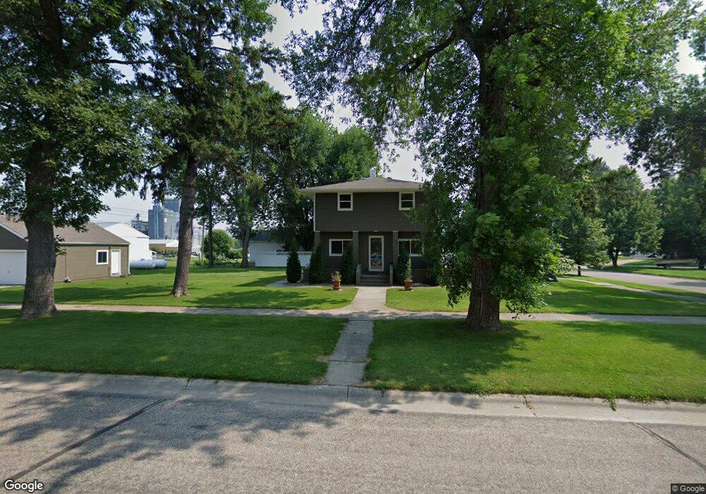
719 7th St Hatton, ND 58240
Estimated Value: $176,000 - $190,000
3
Beds
2
Baths
2,701
Sq Ft
$68/Sq Ft
Est. Value
About This Home
This home is located at 719 7th St, Hatton, ND 58240 and is currently estimated at $182,605, approximately $67 per square foot. 719 7th St is a home located in Traill County with nearby schools including Hatton Eielson Elementary School and Hatton Eielson High School.
Ownership History
Date
Name
Owned For
Owner Type
Purchase Details
Closed on
Jun 4, 2025
Sold by
Martin Leanna Mae
Bought by
Brock Brend and Brock Betsy Brend
Current Estimated Value
Purchase Details
Closed on
Sep 7, 2021
Sold by
Ladue Edward N and Ladue Tammy J
Bought by
Martin Leanna Mae
Home Financials for this Owner
Home Financials are based on the most recent Mortgage that was taken out on this home.
Original Mortgage
$135,450
Interest Rate
2.7%
Mortgage Type
New Conventional
Purchase Details
Closed on
Sep 8, 2008
Sold by
Bye Kermit Edward
Bought by
Ladue Edward N and Ladue Tammy J
Home Financials for this Owner
Home Financials are based on the most recent Mortgage that was taken out on this home.
Original Mortgage
$55,600
Interest Rate
6.54%
Mortgage Type
FHA
Create a Home Valuation Report for This Property
The Home Valuation Report is an in-depth analysis detailing your home's value as well as a comparison with similar homes in the area
Purchase History
| Date | Buyer | Sale Price | Title Company |
|---|---|---|---|
| Brock Brend | -- | Title Team | |
| Martin Leanna Mae | $150,500 | Grand Forks Guaranty & Ttl C | |
| Ladue Edward N | -- | None Available |
Source: Public Records
Mortgage History
| Date | Status | Borrower | Loan Amount |
|---|---|---|---|
| Previous Owner | Martin Leanna Mae | $135,450 | |
| Previous Owner | Ladue Edward N | $55,600 |
Source: Public Records
Tax History
| Year | Tax Paid | Tax Assessment Tax Assessment Total Assessment is a certain percentage of the fair market value that is determined by local assessors to be the total taxable value of land and additions on the property. | Land | Improvement |
|---|---|---|---|---|
| 2025 | $2,249 | $7,074 | $567 | $6,507 |
| 2024 | $2,260 | $76,300 | $6,300 | $70,000 |
| 2023 | $2,249 | $73,465 | $3,465 | $70,000 |
| 2022 | $2,168 | $69,965 | $3,465 | $66,500 |
| 2021 | $1,351 | $41,965 | $3,465 | $38,500 |
| 2020 | $1,219 | $40,465 | $3,465 | $37,000 |
| 2019 | $1,096 | $38,030 | $2,673 | $35,357 |
| 2018 | $1,325 | $41,104 | $2,673 | $38,431 |
| 2017 | $952 | $38,104 | $0 | $0 |
| 2016 | $785 | $0 | $0 | $0 |
| 2015 | $785 | $0 | $0 | $0 |
| 2014 | $785 | $0 | $0 | $0 |
| 2013 | -- | $0 | $0 | $0 |
Source: Public Records
Map
Nearby Homes
- 206 Eielson St
- 101 Bernie Ave
- 645 Parkway Ln E
- 665 Parkway Ln
- 686 Parkway Lane E Ln
- 610 Parkway Ln
- 303 S Raymond St
- 127 N Lincoln St
- 310 N Doheny St
- 308 N Doheny St
- 1032 Golden Shores Dr
- 319 1st Ave NW
- 119 1st Ave NW
- 216 Main St W
- 118 2nd Ave NE
- 125 4th Ave SE
- 131 8th Ave SE Unit 7
- 213 9th Ave SE
- 221 8th Ave SE
- XXX Riverwood Addition
Your Personal Tour Guide
Ask me questions while you tour the home.