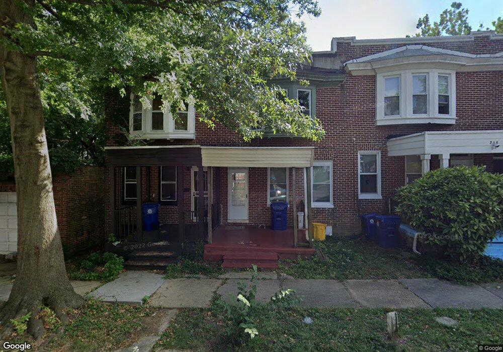
719 Belle Terre Ave Baltimore, MD 21218
Better Waverly NeighborhoodEstimated Value: $114,000 - $149,908
Studio
1
Bath
896
Sq Ft
$147/Sq Ft
Est. Value
About This Home
This home is located at 719 Belle Terre Ave, Baltimore, MD 21218 and is currently estimated at $131,954, approximately $147 per square foot. 719 Belle Terre Ave is a home located in Baltimore City with nearby schools including Abbottston Elementary School, The Stadium School, and Booker T. Washington Middle School.
Ownership History
Date
Name
Owned For
Owner Type
Purchase Details
Closed on
Sep 14, 2009
Sold by
Brown Tuwanda R
Bought by
Brown Tuwanda R
Current Estimated Value
Home Financials for this Owner
Home Financials are based on the most recent Mortgage that was taken out on this home.
Original Mortgage
$65,300
Outstanding Balance
$20,054
Interest Rate
6.11%
Mortgage Type
FHA
Estimated Equity
$111,900
Purchase Details
Closed on
Mar 30, 1999
Sold by
Masson Margaret W
Bought by
Brown Tuwanda R and Brown Brian A
Create a Home Valuation Report for This Property
The Home Valuation Report is an in-depth analysis detailing your home's value as well as a comparison with similar homes in the area
Home Values in the Area
Average Home Value in this Area
Purchase History
| Date | Buyer | Sale Price | Title Company |
|---|---|---|---|
| Brown Tuwanda R | $30,983 | -- | |
| Brown Tuwanda R | $40,000 | -- |
Source: Public Records
Mortgage History
| Date | Status | Borrower | Loan Amount |
|---|---|---|---|
| Open | Brown Tuwanda R | $65,300 |
Source: Public Records
Tax History
| Year | Tax Paid | Tax Assessment Tax Assessment Total Assessment is a certain percentage of the fair market value that is determined by local assessors to be the total taxable value of land and additions on the property. | Land | Improvement |
|---|---|---|---|---|
| 2025 | $2,503 | $113,900 | $30,000 | $83,900 |
| 2024 | $2,503 | $106,567 | -- | -- |
| 2023 | $2,331 | $99,233 | $0 | $0 |
| 2022 | $2,169 | $91,900 | $30,000 | $61,900 |
| 2021 | $2,152 | $91,200 | $0 | $0 |
| 2020 | $1,961 | $90,500 | $0 | $0 |
| 2019 | $1,940 | $89,800 | $30,000 | $59,800 |
| 2018 | $1,945 | $88,767 | $0 | $0 |
| 2017 | $1,940 | $87,733 | $0 | $0 |
| 2016 | $1,969 | $86,700 | $0 | $0 |
| 2015 | $1,969 | $86,333 | $0 | $0 |
| 2014 | $1,969 | $85,967 | $0 | $0 |
Source: Public Records
Map
Nearby Homes
- 815 E 33rd St
- 831 E 33rd St
- 702 Homestead St
- 3105 Frisby St
- 626-636 E 33rd St
- 3303 Westerwald Ave
- 3203 Independence St
- 616 Montpelier St
- 3045 Frisby St
- 3020 Mathews St
- 1118 Montpelier St
- 1120 Montpelier St
- 3006 Mathews St
- 1128 Montpelier St
- 616 E 33rd St
- 1144 Gorsuch Ave
- 1140 Montpelier St
- 3010 Frisby St
- 604 E 31st St
- 616 E 30th St
- 717 Belle Terre Ave
- 715 Belle Terre Ave
- 713 Belle Terre Ave
- 714 Gorsuch Ave
- 711 Belle Terre Ave
- 716 Gorsuch Ave
- 709 Belle Terre Ave
- 718 Gorsuch Ave
- 707 Belle Terre Ave
- 712 Gorsuch Ave
- 720 Gorsuch Ave
- 3201 Westerwald Ave
- 705 Belle Terre Ave
- 710 Gorsuch Ave
- 3203 Westerwald Ave
- 800 Gorsuch Ave
- 703 Belle Terre Ave
- 3200 Westerwald Ave
- 708 Gorsuch Ave
- 3205 Westerwald Ave
Your Personal Tour Guide
Ask me questions while you tour the home.