Estimated Value: $67,000 - $160,000
2
Beds
1
Bath
884
Sq Ft
$113/Sq Ft
Est. Value
About This Home
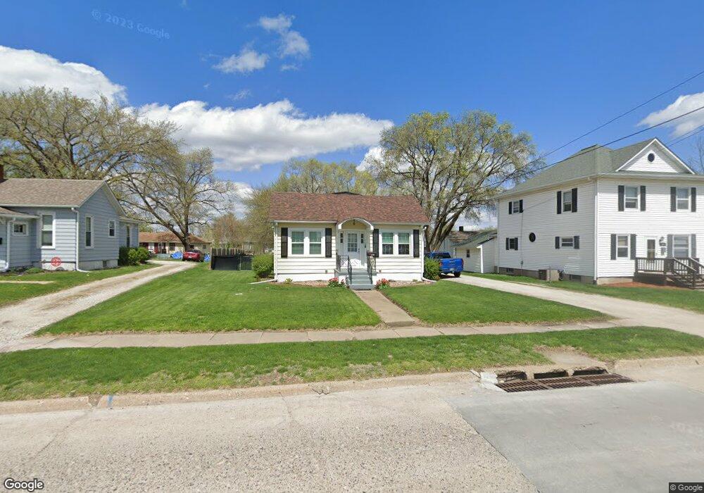
This home is located at 719 Benton Ave E, Albia, IA 52531 and is currently estimated at $100,183, approximately $113 per square foot. 719 Benton Ave E is a home located in Monroe County with nearby schools including Kendall Elementary School, Lincoln Center, and Grant Center.
Ownership History
Date
Name
Owned For
Owner Type
Purchase Details
Closed on
Jan 28, 2014
Sold by
Vehrs Darla and Vehrs Christopher
Bought by
Vehrs Darla and Vehrs Christopher
Current Estimated Value
Purchase Details
Closed on
Mar 26, 2007
Sold by
Yarkosky Edward J
Bought by
Yarkosky Darla
Purchase Details
Closed on
Mar 15, 2006
Sold by
Pfannebecker Gary Dean
Bought by
Yarkosky Darla K
Home Financials for this Owner
Home Financials are based on the most recent Mortgage that was taken out on this home.
Original Mortgage
$137,951
Outstanding Balance
$5,978
Interest Rate
6.33%
Mortgage Type
Purchase Money Mortgage
Estimated Equity
$94,205
Create a Home Valuation Report for This Property
The Home Valuation Report is an in-depth analysis detailing your home's value as well as a comparison with similar homes in the area
Home Values in the Area
Average Home Value in this Area
Purchase History
| Date | Buyer | Sale Price | Title Company |
|---|---|---|---|
| Vehrs Darla | -- | None Available | |
| Yarkosky Darla | -- | None Available | |
| Yarkosky Darla K | $45,000 | None Available |
Source: Public Records
Mortgage History
| Date | Status | Borrower | Loan Amount |
|---|---|---|---|
| Open | Yarkosky Darla K | $137,951 |
Source: Public Records
Tax History Compared to Growth
Tax History
| Year | Tax Paid | Tax Assessment Tax Assessment Total Assessment is a certain percentage of the fair market value that is determined by local assessors to be the total taxable value of land and additions on the property. | Land | Improvement |
|---|---|---|---|---|
| 2024 | $1,252 | $69,610 | $16,190 | $53,420 |
| 2023 | $1,118 | $69,610 | $16,190 | $53,420 |
| 2022 | $998 | $54,780 | $12,460 | $42,320 |
| 2021 | $934 | $54,780 | $12,460 | $42,320 |
| 2020 | $934 | $46,680 | $10,640 | $36,040 |
| 2019 | $1,008 | $46,680 | $10,640 | $36,040 |
| 2018 | $1,008 | $45,960 | $10,640 | $35,320 |
| 2017 | $966 | $45,960 | $10,640 | $35,320 |
| 2016 | $964 | $43,770 | $0 | $0 |
| 2015 | $934 | $42,430 | $0 | $0 |
| 2014 | $934 | $42,430 | $0 | $0 |
Source: Public Records
Map
Nearby Homes
- Lot 16 Benton Ave E
- Lot 3 Benton Ave E
- 904 D Ave E
- 704 4th Ave E
- 418 S 11th St
- 320 S 2nd St
- 23 Benton Ave E
- 21 Benton Ave E
- 17 Benton Ave E
- 509 N 12th St
- 316 N Main St
- Lot 12 Benton Ave
- 22 Washington Ave W
- 400 N Clinton St
- 216 Washington Ave W
- 45 11th Ave W
- 18 12th Ave W
- 0 189th St Unit NOC6332320
- 0 189th St Unit NOC6330612
- 1600 S Main St