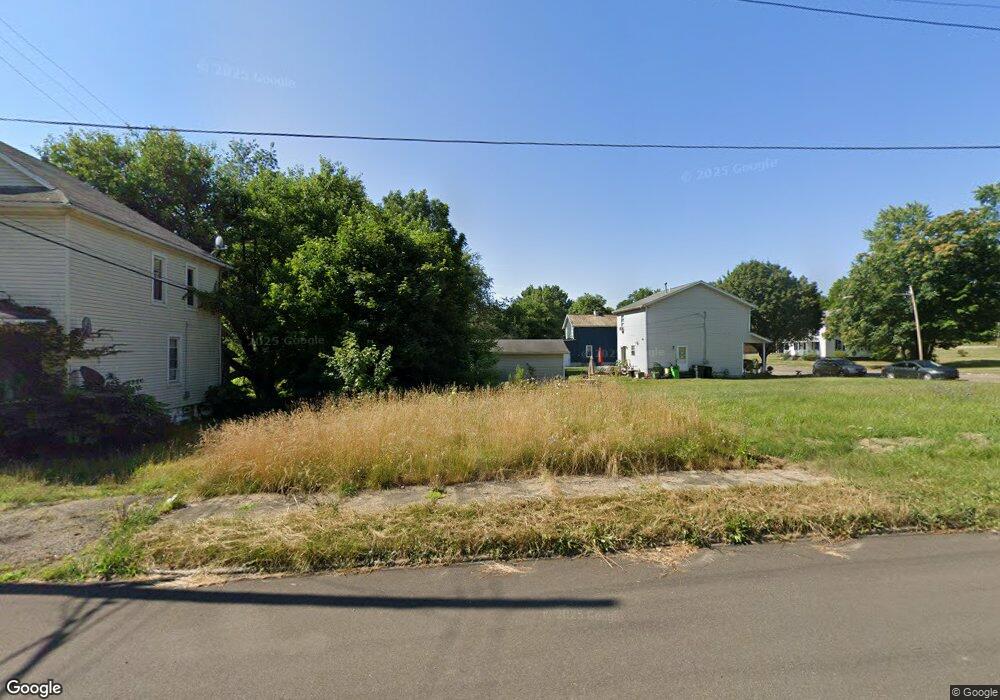
719 E High St Alliance, OH 44601
Estimated Value: $125,000 - $165,000
Studio
--
Bath
--
Sq Ft
1,220
Sq Ft Lot
About This Home
This home is located at 719 E High St, Alliance, OH 44601 and is currently estimated at $148,667. 719 E High St is a home located in Stark County with nearby schools including Alliance Intermediate School at Northside, Alliance Elementary School at Rockhill, and Alliance Middle School.
Ownership History
Date
Name
Owned For
Owner Type
Purchase Details
Closed on
Feb 19, 2008
Sold by
Heartwood 88 Llc
Bought by
D & K Properties Llc
Current Estimated Value
Purchase Details
Closed on
Nov 29, 2006
Sold by
Hare Levert
Bought by
Heartwood 88 Llc
Purchase Details
Closed on
Jun 14, 2002
Sold by
West Terrence L
Bought by
Hare Levert
Purchase Details
Closed on
Dec 23, 1997
Sold by
Ray Barbara M
Bought by
West Terrance
Create a Home Valuation Report for This Property
The Home Valuation Report is an in-depth analysis detailing your home's value as well as a comparison with similar homes in the area
Home Values in the Area
Average Home Value in this Area
Purchase History
| Date | Buyer | Sale Price | Title Company |
|---|---|---|---|
| D & K Properties Llc | -- | None Available | |
| Heartwood 88 Llc | $3,339 | None Available | |
| Hare Levert | $6,300 | -- | |
| West Terrance | $2,500 | -- |
Source: Public Records
Tax History
| Year | Tax Paid | Tax Assessment Tax Assessment Total Assessment is a certain percentage of the fair market value that is determined by local assessors to be the total taxable value of land and additions on the property. | Land | Improvement |
|---|---|---|---|---|
| 2025 | $9,524 | $490 | $490 | -- |
| 2024 | $9,023 | $490 | $490 | -- |
| 2023 | $8,788 | $490 | $490 | -- |
| 2022 | $20 | $490 | $490 | $0 |
| 2021 | $20 | $490 | $490 | $0 |
| 2020 | $19 | $420 | $420 | $0 |
| 2019 | $18 | $420 | $420 | $0 |
| 2018 | $19 | $420 | $420 | $0 |
| 2017 | $6,407 | $350 | $350 | $0 |
| 2016 | $6,147 | $350 | $350 | $0 |
| 2015 | $17 | $350 | $350 | $0 |
| 2014 | $15 | $320 | $320 | $0 |
| 2013 | $8 | $320 | $320 | $0 |
Source: Public Records
Map
Nearby Homes
- 442 S Liberty Ave
- V/L S Freedom Ave
- 452 E Summit St
- 361 E Main St
- 955 E Summit St
- 847 E Patterson St
- 726 S Arch Ave
- 935 S Morgan Ave
- 62 E High St
- 62 E Market St
- 234 Rosenberry St
- 0 E Oxford St
- 231 Rosenberry St
- 427 S Union Ave
- 226 Milner St
- 1226 Noble St
- 46 Rosenberry St
- 1025 Reed St
- 807 S Union Ave
- 134 11th St
- 414 S Liberty Ave
- 731 E High St
- 424 S Liberty Ave
- 730 E High St
- 350 S Liberty Ave
- 745 E High St
- 430 S Liberty Ave
- 732 E Oxford St
- 330 S Liberty Ave
- 409 S Webb Ave
- 415 S Liberty Ave
- 623 E High St
- 322 S Liberty Ave
- 341 S Webb Ave
- 441 S Liberty Ave
- 410 S Seneca Ave
- 404 S Seneca Ave
- 420 S Seneca Ave
- 757 E Broadway St
- 332 S Seneca Ave
Your Personal Tour Guide
Ask me questions while you tour the home.