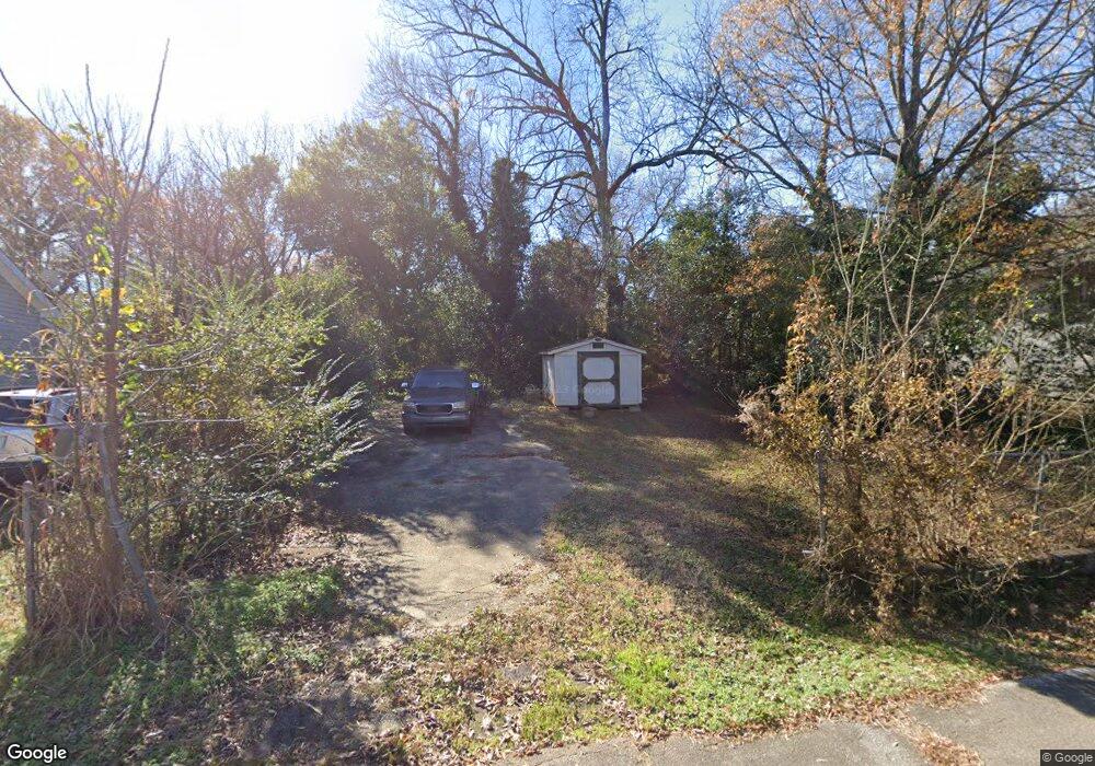
719 Gary St Anderson, SC 29624
Estimated Value: $71,017 - $120,000
--
Bed
--
Bath
--
Sq Ft
5,924
Sq Ft Lot
About This Home
This home is located at 719 Gary St, Anderson, SC 29624 and is currently estimated at $90,672. 719 Gary St is a home with nearby schools including Varennes Elementary School, Robert Anderson Middle School, and Westside High School.
Ownership History
Date
Name
Owned For
Owner Type
Purchase Details
Closed on
Mar 26, 2019
Sold by
Anderson Cnty Forfeited Land Commission
Bought by
Lee Tillie Kelly Jeneen
Current Estimated Value
Purchase Details
Closed on
Mar 25, 2019
Sold by
Lee Walter J
Bought by
Anderson Cnty Forfeited Land Commission
Purchase Details
Closed on
Feb 23, 2010
Sold by
Anderson County Forfeited Land Commissio
Bought by
Lee Walter J
Purchase Details
Closed on
Oct 17, 2007
Sold by
Majerein David
Bought by
Anderson Cnty Forfeited Land Commission
Create a Home Valuation Report for This Property
The Home Valuation Report is an in-depth analysis detailing your home's value as well as a comparison with similar homes in the area
Home Values in the Area
Average Home Value in this Area
Purchase History
| Date | Buyer | Sale Price | Title Company |
|---|---|---|---|
| Lee Tillie Kelly Jeneen | $771 | None Available | |
| Anderson Cnty Forfeited Land Commission | $757 | None Available | |
| Lee Walter J | $971 | -- | |
| Anderson Cnty Forfeited Land Commission | $1,834 | -- |
Source: Public Records
Tax History Compared to Growth
Tax History
| Year | Tax Paid | Tax Assessment Tax Assessment Total Assessment is a certain percentage of the fair market value that is determined by local assessors to be the total taxable value of land and additions on the property. | Land | Improvement |
|---|---|---|---|---|
| 2024 | $222 | $600 | $300 | $300 |
| 2023 | $222 | $600 | $300 | $300 |
| 2022 | $218 | $600 | $300 | $300 |
| 2021 | $198 | $460 | $210 | $250 |
| 2020 | $197 | $460 | $210 | $250 |
| 2019 | $197 | $460 | $210 | $250 |
| 2018 | $195 | $460 | $210 | $250 |
| 2017 | -- | $460 | $210 | $250 |
| 2016 | $193 | $460 | $210 | $250 |
| 2015 | $194 | $460 | $210 | $250 |
| 2014 | $192 | $460 | $210 | $250 |
Source: Public Records
Map
Nearby Homes
- 720 722 Gary St
- 00 Ila St
- 00 W Franklin St
- 0 W Franklin St
- 701 Delia St
- 701 Delia St Unit B
- 701 Delia St Unit A
- 719 Dora Dr
- 1105 W Franklin St
- 0 W Reed St
- 404 Montague St
- 428 W Reed St Unit A&B
- 1103 Scott Dr
- 426 W Reed St Unit A&B
- 424 W Reed St Unit A&B
- 422 W Reed St Unit A&B
- 403 Rose Hill
- 902 W Market St
- 310 W Hampton St
- 308 W Hampton St