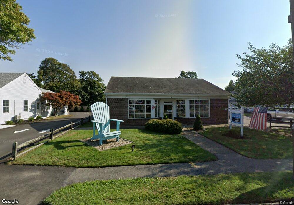
719 Main St Harwich, MA 2645
Harwich Center NeighborhoodEstimated Value: $891,662
--
Bed
1
Bath
3,200
Sq Ft
$279/Sq Ft
Est. Value
About This Home
This home is located at 719 Main St, Harwich, MA 2645 and is currently estimated at $891,662, approximately $278 per square foot. 719 Main St is a home located in Barnstable County with nearby schools including Harwich Elementary School, Chatham Elementary School, and Monomoy Regional Middle School.
Ownership History
Date
Name
Owned For
Owner Type
Purchase Details
Closed on
Dec 17, 2024
Sold by
Johnson Murray
Bought by
Murray Johnson Lt and Johnson
Current Estimated Value
Purchase Details
Closed on
Aug 18, 1997
Sold by
Frank Jeffrey S and Wigmore Robert L
Bought by
Johnson Murray
Home Financials for this Owner
Home Financials are based on the most recent Mortgage that was taken out on this home.
Original Mortgage
$159,000
Interest Rate
7.56%
Mortgage Type
Commercial
Create a Home Valuation Report for This Property
The Home Valuation Report is an in-depth analysis detailing your home's value as well as a comparison with similar homes in the area
Home Values in the Area
Average Home Value in this Area
Purchase History
| Date | Buyer | Sale Price | Title Company |
|---|---|---|---|
| Murray Johnson Lt | -- | None Available | |
| Murray Johnson Lt | -- | None Available | |
| Johnson Murray | $159,000 | -- | |
| Johnson Murray | $159,000 | -- |
Source: Public Records
Mortgage History
| Date | Status | Borrower | Loan Amount |
|---|---|---|---|
| Previous Owner | Johnson Murray | $50,000 | |
| Previous Owner | Johnson Murray | $350,000 | |
| Previous Owner | Johnson Murray | $159,000 |
Source: Public Records
Tax History Compared to Growth
Tax History
| Year | Tax Paid | Tax Assessment Tax Assessment Total Assessment is a certain percentage of the fair market value that is determined by local assessors to be the total taxable value of land and additions on the property. | Land | Improvement |
|---|---|---|---|---|
| 2025 | $3,164 | $535,300 | $219,400 | $315,900 |
| 2024 | $3,140 | $520,800 | $210,900 | $309,900 |
| 2023 | $3,333 | $501,900 | $200,900 | $301,000 |
| 2022 | $3,763 | $464,000 | $170,500 | $293,500 |
| 2021 | $3,939 | $458,000 | $159,600 | $298,400 |
| 2020 | $4,024 | $460,900 | $157,700 | $303,200 |
| 2019 | $3,941 | $454,600 | $151,600 | $303,000 |
| 2018 | $4,121 | $454,700 | $151,600 | $303,100 |
| 2017 | $4,022 | $448,400 | $144,300 | $304,100 |
| 2016 | $4,044 | $445,900 | $141,500 | $304,400 |
| 2015 | $3,977 | $443,400 | $138,700 | $304,700 |
| 2014 | $3,851 | $439,100 | $134,700 | $304,400 |
Source: Public Records
Map
Nearby Homes
- 116 Parallel St
- 303 Bank St
- 44 Beriah Brooks Rd
- 11 Windjammer Rd
- 15 Shannon Rd
- 28 Dale Rd
- 135 Sisson Rd
- 4 Hope Ln
- 159 Pleasant Lake Ave
- 21 Princes St
- 106 Chatham Rd
- 2 Bassett Woods Rd
- 9 Jason Ln
- 53 Freeman St
- 12 Old Campground Rd
- 18 Old Campground
- 957 Orleans Rd
- 15 Pleasant St Unit W24
- 515 Route 28
- 515 Massachusetts 28
- 721 Main St
- 715 Main St
- 110 Parallel St
- 102 Parallel St
- 727 Main St
- 114 Parallel St
- 114 Parallel St Unit XXX
- 3 Cornelias Way
- 4 Cornelias Way
- 2283-2285 Head of The Bay Rd
- 100 Parallel St
- 711 Main St
- 729 Main St
- 724 Main St
- 718 Main St
- 107 Parallel St
- 728 Main St
- 338 Bank St
- 712 Main St
- 98 Parallel St