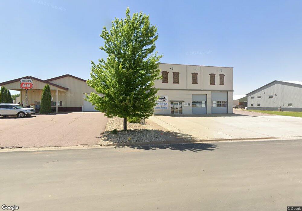
719 N 9th Ave Brandon, SD 57005
Estimated Value: $720,760
Studio
2
Baths
6,280
Sq Ft
$115/Sq Ft
Est. Value
About This Home
This home is located at 719 N 9th Ave, Brandon, SD 57005 and is currently estimated at $720,760, approximately $114 per square foot. 719 N 9th Ave is a home located in Minnehaha County with nearby schools including Brandon Elementary School, Brandon Valley Middle School, and Brandon Valley Intermediate School.
Ownership History
Date
Name
Owned For
Owner Type
Purchase Details
Closed on
Nov 10, 2023
Sold by
Barrett William and Barrett Jamie L
Bought by
Gcjm Llc
Current Estimated Value
Home Financials for this Owner
Home Financials are based on the most recent Mortgage that was taken out on this home.
Original Mortgage
$282,200
Outstanding Balance
$276,867
Interest Rate
7.57%
Estimated Equity
$443,893
Purchase Details
Closed on
Mar 20, 2014
Bought by
Barrett William
Create a Home Valuation Report for This Property
The Home Valuation Report is an in-depth analysis detailing your home's value as well as a comparison with similar homes in the area
Home Values in the Area
Average Home Value in this Area
Purchase History
| Date | Buyer | Sale Price | Title Company |
|---|---|---|---|
| Gcjm Llc | $695,000 | -- | |
| Barrett William | $33,000 | -- |
Source: Public Records
Mortgage History
| Date | Status | Borrower | Loan Amount |
|---|---|---|---|
| Open | Gcjm Llc | $282,200 | |
| Closed | Gcjm Llc | -- |
Source: Public Records
Tax History
| Year | Tax Paid | Tax Assessment Tax Assessment Total Assessment is a certain percentage of the fair market value that is determined by local assessors to be the total taxable value of land and additions on the property. | Land | Improvement |
|---|---|---|---|---|
| 2024 | $10,863 | $675,400 | $52,400 | $623,000 |
| 2023 | $6,636 | $103,800 | $34,700 | $69,100 |
| 2022 | $6,677 | $363,500 | $30,100 | $333,400 |
| 2021 | $4,085 | $273,700 | $0 | $0 |
| 2020 | $4,085 | $272,400 | $0 | $0 |
| 2019 | $3,872 | $251,738 | $0 | $0 |
| 2018 | $1,546 | $239,651 | $0 | $0 |
| 2017 | $544 | $74,734 | $22,049 | $52,685 |
| 2016 | $544 | $22,049 | $22,049 | $0 |
| 2015 | $1,652 | $73,394 | $18,900 | $54,494 |
| 2014 | -- | $73,394 | $18,900 | $54,494 |
Source: Public Records
Map
Nearby Homes
- 913 Maywood St
- 716 Magnolia Dr
- 412 9th Ave
- 410 9th Ave
- 901 Pine St
- 1604 E Redwood Blvd
- 600 N Yellowstone Dr
- 505 Pasque Flower Trail
- 416 E Cairos Place
- 1604 E Liberty Cir
- 412 E Cairos Place
- 1916 Sylvan Cir
- 412 Meadowlark Cir
- 801 Sapphire Cir
- 704 Sapphire Cir
- 800 Sapphire Cir
- 101 Pipestone St Unit 2
- 101 Pipestone St Unit 4
- Lt6 Blk15 E Stone St
- 213 E Stone St
- 809 9th Ave
- 809 9th Ave
- 709 9th Ave
- 709 N 9th Ave
- 800 N 9th Ave
- 800 N 9th Ave
- 805 9th Ave
- 805 N 9th Ave
- 1209 E Birch St
- 1001 E Birch St
- 1009 E Birch St
- 1009 E Birch St
- 912 E Redwood Blvd
- 605 N 9th Ave
- 605 9th Ave N
- 414 N 9th Ave
- 908 E Redwood Blvd
- 1201 E Redwood Blvd
- 601 9th Ave N
- 908 E Redwood Blvd
Your Personal Tour Guide
Ask me questions while you tour the home.