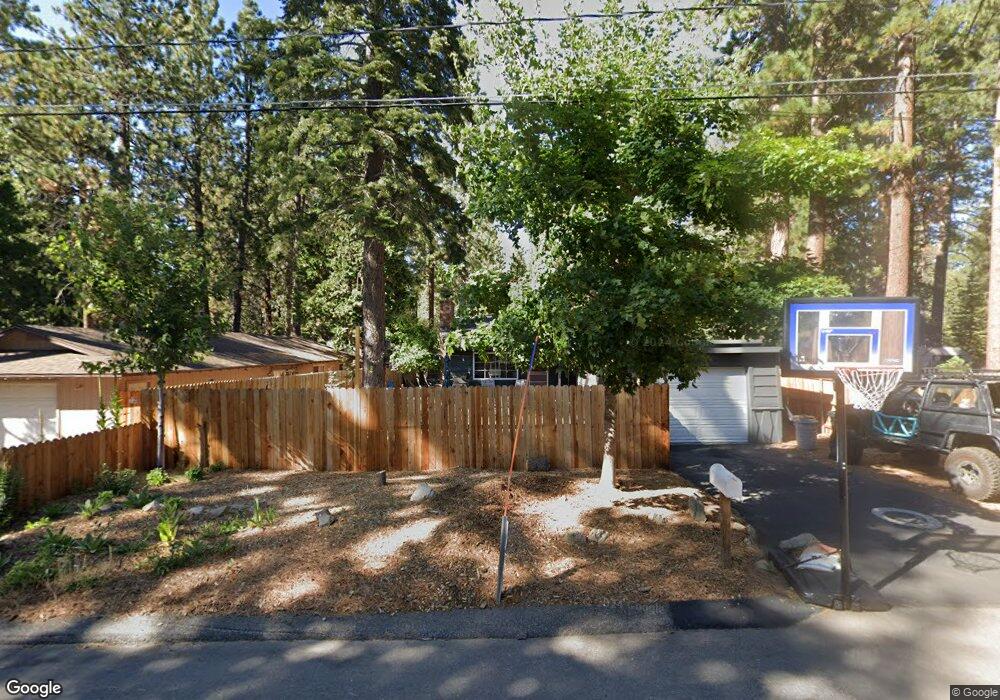
719 Sand Harbor Rd South Lake Tahoe, CA 96150
Estimated Value: $464,402 - $517,000
2
Beds
1
Bath
1,080
Sq Ft
$457/Sq Ft
Est. Value
About This Home
This home is located at 719 Sand Harbor Rd, South Lake Tahoe, CA 96150 and is currently estimated at $493,851, approximately $457 per square foot. 719 Sand Harbor Rd is a home located in El Dorado County with nearby schools including Tahoe Valley Elementary School, South Tahoe Middle School, and South Tahoe High School.
Ownership History
Date
Name
Owned For
Owner Type
Purchase Details
Closed on
Oct 25, 2013
Sold by
Dennis George H and Dennis Blanche C
Bought by
Santley Linda Caroline and Smith Rachel Santley
Current Estimated Value
Purchase Details
Closed on
Sep 30, 1999
Sold by
Vidmar Stanley
Bought by
Dennis George H and Dennis Blanche C
Purchase Details
Closed on
Sep 23, 1999
Sold by
Va
Bought by
Vidmar Stanley
Purchase Details
Closed on
Jan 13, 1995
Sold by
Stroud Mary Lou and Woodyard Marie Eliza
Bought by
Va
Create a Home Valuation Report for This Property
The Home Valuation Report is an in-depth analysis detailing your home's value as well as a comparison with similar homes in the area
Home Values in the Area
Average Home Value in this Area
Purchase History
| Date | Buyer | Sale Price | Title Company |
|---|---|---|---|
| Santley Linda Caroline | -- | None Available | |
| Dennis George H | $150,000 | Old Republic Title Company | |
| Vidmar Stanley | -- | Old Republic Title Company | |
| Va | $112,000 | Fidelity National Title Ins |
Source: Public Records
Tax History Compared to Growth
Tax History
| Year | Tax Paid | Tax Assessment Tax Assessment Total Assessment is a certain percentage of the fair market value that is determined by local assessors to be the total taxable value of land and additions on the property. | Land | Improvement |
|---|---|---|---|---|
| 2025 | $2,491 | $230,512 | $38,406 | $192,106 |
| 2024 | $2,491 | $225,993 | $37,653 | $188,340 |
| 2023 | $2,374 | $221,563 | $36,915 | $184,648 |
| 2022 | $2,349 | $217,220 | $36,192 | $181,028 |
| 2021 | $2,312 | $212,962 | $35,483 | $177,479 |
| 2020 | $2,278 | $210,780 | $35,120 | $175,660 |
| 2019 | $2,266 | $206,648 | $34,432 | $172,216 |
| 2018 | $2,215 | $202,597 | $33,757 | $168,840 |
| 2017 | $2,255 | $198,626 | $33,096 | $165,530 |
| 2016 | $2,210 | $194,733 | $32,448 | $162,285 |
| 2015 | $2,099 | $191,810 | $31,961 | $159,849 |
| 2014 | $2,099 | $188,055 | $31,336 | $156,719 |
Source: Public Records
Map
Nearby Homes
- 603 Gardner St
- 760 Clement St
- 753 Taylor Way
- 1761 13th St
- 1890 10th St
- 516 Emerald Bay Rd Unit 49
- 516 Emerald Bay Rd Unit 426
- 867 Clement St
- 629 James Ave
- 2028 13th St
- 673 James Ave
- 921 Gardner St
- 776 Patricia Ln
- 1124 Tata Ln
- 1080 Julie Ln Unit 255
- 1080 Julie Ln Unit 186
- 1080 Julie Ln Unit 79
- 1080 Julie Ln Unit 82
- 1080 Julie Ln Unit 140
- 1080 Julie Ln Unit 68
- 713 Sand Harbor Rd
- 714 Julie Ln
- 710 Julie Ln
- 720 Julie Ln
- 729 Sand Harbor Rd
- 712 Sand Harbor Rd
- 705 Sand Harbor Rd
- 1847 13th St
- 720 Sand Harbor Rd
- 706 Julie Ln
- 706 Sand Harbor Rd
- 1833 13th St
- 700 Julie Ln
- 699 Sand Harbor Rd
- 1829 13th St
- 702 Sand Harbor Rd
- 726 Julie Ln
- 696 Julie Ln
- 715 Julie Ln
- 711 Julie Ln